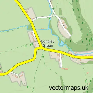
This Fromes Hill street map is a detailed vector street map covering a 750m x 750m area. Select a larger area to create and download your own vector street map of Fromes Hill.
The 750-metre map sample for Fromes Hill covers 96 mapped buildings and approximately 18.7 km of road detail, of which 2 named roads are named. The immediate area includes 1 school, 1 pub and 2 MOT stations within 2 miles. The wider area around Fromes Hill features 3 food and drink venues. To create a larger or custom map of Fromes Hill, the map builder lets you define your own coverage area and download editable SVG, PDF and PNG files.
Create a larger editable map of Fromes Hill
Choose any area you need and generate a high-quality vector map instantly. Perfect for print, planning, design, business and personal use.

This Fromes Hill street map in Herefordshire is available as downloadable SVG, PDF and PNG map files, or as a printed map for planning, business, display, education, local information and design work. You can also create a larger custom map area using the map selector.
What this Fromes Hill map sample shows
Fromes Hill lies within Bishop's Frome Cp parish, part of Bishops Frome & Cradley ward in the County Of Herefordshire local authority area. The postcode geography for this area includes the HR postcode area, the HR8 postcode district and the HR8 1 postcode sector. Residents fall under the Nhs Herefordshire And Worcestershire Integrated Care Board for NHS services.
Local features near Fromes Hill
Within 2 milesAmenities and services in and around Fromes Hill.
Administrative and postcode information for Fromes Hill
Fromes Hill lies within Bishop's Frome Cp parish, part of Bishops Frome & Cradley ward in the County Of Herefordshire local authority area. The postcode geography for this area includes the HR postcode area, the HR8 postcode district and the HR8 1 postcode sector. Residents fall under the Nhs Herefordshire And Worcestershire Integrated Care Board for NHS services.
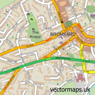
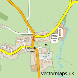
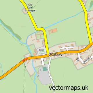
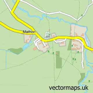
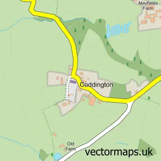
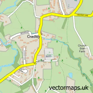
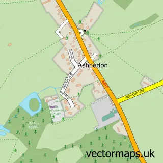
Nearby street map samples around Fromes Hill

More street maps in Herefordshire
750 metre map area coverage
Boundary, postcode and point of interest information for the 750m x 750m rectangle centred on this sample map.
Boundaries containing map centre
Constituency: North Herefordshire Co Const
District: County of Herefordshire
Icb: NHS Herefordshire and Worcestershire ICB
Parish: Bishop's Frome CP
Police Force: west mercia
Postcode District: HR8
Postcode Sector: HR8 1
Ward: Bishops Frome & Cradley Ward
Nearby boundaries intersecting sample
Parish: Castle Frome CP
Ward: Three Crosses Ward
Postcode coverage
POI category counts
Cafe: 2
Anglican Church: 1
Atms: 1
Automotive Parts And Accessories: 1
Automotive Repair: 1
Bakery: 1
Business Signage: 1
Convenience Store: 1
Furniture Assembly: 1
Indian Restaurant: 1
Sample points of interest
- Frome's Hill: St Matthew
- Midway Convenience, Fromes Hill
- Deutscheparts
- LAB Autos
- That Cheesecake Girl
- Sign Right
- Coco's Cafe
- Fromes Hill Trading
- Midway Convenience
- The Little Upholstery Company
- Rasoi
- Motorbikes 4 All
Create a larger editable map of Fromes Hill
This sample shows only a 750 metre area. To create a larger map of Fromes Hill, use our map builder to choose your own coverage area, add titles and download editable SVG, PDF and PNG files.
Create a custom map of Fromes Hill