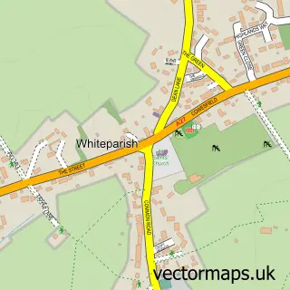
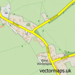
This West Dean street map is a detailed vector street map covering a 750m x 750m area. Select a larger area to create and download your own vector street map of West Dean.
The 750-metre map sample for West Dean covers 132 mapped buildings and approximately 4.7 km of road detail, of which 3 named roads are named. The immediate area includes 1 railway station. The wider area around West Dean features 1 tourism point of interest. To create a larger or custom map of West Dean, the map builder lets you define your own coverage area and download editable SVG, PDF and PNG files.
Create a larger editable map of West Dean
Choose any area you need and generate a high-quality vector map instantly. Perfect for print, planning, design, business and personal use.

This West Dean street map in Wiltshire is available as downloadable SVG, PDF and PNG map files, or as a printed map for planning, business, display, education, local information and design work. You can also create a larger custom map area using the map selector.
What this West Dean map sample shows
West Dean lies within West Tytherley Cp parish, part of Mid Test ward in the Test Valley District local authority area. The postcode geography for this area includes the SP postcode area, the SP5 postcode district and the SP5 1 postcode sector. Residents fall under the Nhs Hampshire And Isle Of Wight Integrated Care Board for NHS services.
Local features near West Dean
Within 2 milesAmenities and services in and around West Dean.
Administrative and postcode information for West Dean
The local authority covering West Dean is Test Valley District, within the county of Wiltshire. The settlement lies within Mid Test ward and West Tytherley Cp civil parish. The SP5 postcode district and SP5 1 postcode sector serve the immediate area. NHS provision in the area is delivered through Hampshire Hospitals Nhs Foundation Trust.
Nearby street map samples around West Dean

More street maps in Wiltshire
750 metre map area coverage
Boundary, postcode and point of interest information for the 750m x 750m rectangle centred on this sample map.
Boundaries containing map centre
Constituency: Salisbury Co Const
District: Wiltshire
Icb: NHS Bath and North East Somerset Swindon and Wiltshire ICB
Parish: West Dean CP
Police Force: wiltshire
Postcode District: SP5
Postcode Sector: SP5 1
Nearby boundaries intersecting sample
Constituency: Romsey and Southampton North Co Const
County: Hampshire County
District: Test Valley District
Icb: NHS Hampshire and Isle of Wight ICB
Parish: West Tytherley CP
Police Force: hampshire
Ward: Mid Test Ward
Postcode coverage
POI category counts
Contractor: 2
Train Station: 2
Anglican Church: 1
Bar: 1
Community Center: 1
Community Services Non Profits: 1
Education: 1
Landmark And Historical Building: 1
Lumber Store: 1
Physical Therapy: 1
Sample points of interest
- West Dean: St Mary the Virgin
- West Dean Club
- King George’s Hall
- King George’s Village Hall, West Dean
- Altered Images Painters & Decorators
- JCR tiling
- Sandi Lamb
- West Dean
- East Brothers Timber Ltd
- Spencer Community Neuro Rehab
- Dean (Wilts)
- Dean railway station
Create a larger editable map of West Dean
This sample shows only a 750 metre area. To create a larger map of West Dean, use our map builder to choose your own coverage area, add titles and download editable SVG, PDF and PNG files.
Create a custom map of West Dean