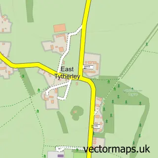
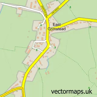
This West Tytherley street map is a detailed vector street map covering a 750m x 750m area. Select a larger area to create and download your own vector street map of West Tytherley.
The 750-metre map sample for West Tytherley covers 102 mapped buildings and approximately 9.8 km of road detail, of which 9 named roads are named. The immediate area includes 1 school and 1 pub. The wider area around West Tytherley features 2 food and drink venues. To create a larger or custom map of West Tytherley, the map builder lets you define your own coverage area and download editable SVG, PDF and PNG files.
Create a larger editable map of West Tytherley
Choose any area you need and generate a high-quality vector map instantly. Perfect for print, planning, design, business and personal use.

This West Tytherley street map in Hampshire is available as downloadable SVG, PDF and PNG map files, or as a printed map for planning, business, display, education, local information and design work. You can also create a larger custom map area using the map selector.
What this West Tytherley map sample shows
West Tytherley lies within West Tytherley Cp parish, part of Mid Test ward in the Test Valley District local authority area. The postcode geography for this area includes the SP postcode area, the SP5 postcode district and the SP5 1 postcode sector. Residents fall under the Nhs Hampshire And Isle Of Wight Integrated Care Board for NHS services.
Local features near West Tytherley
Within 2 milesAmenities and services in and around West Tytherley.
Administrative and postcode information for West Tytherley
The local authority covering West Tytherley is Test Valley District, within the county of Hampshire. The settlement lies within Mid Test ward and West Tytherley Cp civil parish. The SP5 postcode district and SP5 1 postcode sector serve the immediate area. NHS provision in the area is delivered through Hampshire Hospitals Nhs Foundation Trust.
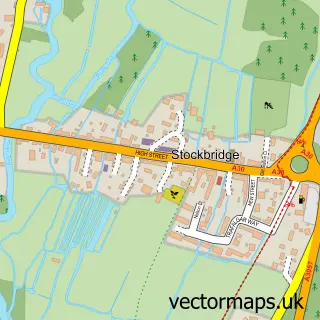
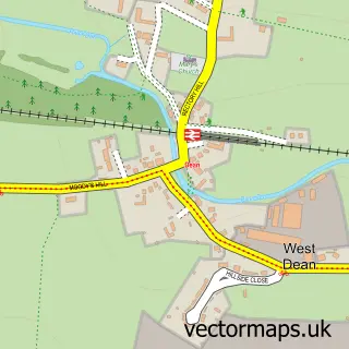
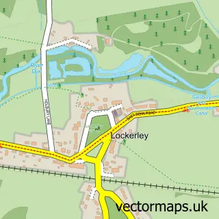
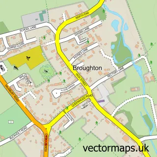
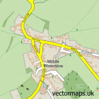
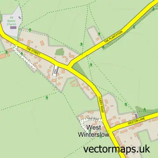
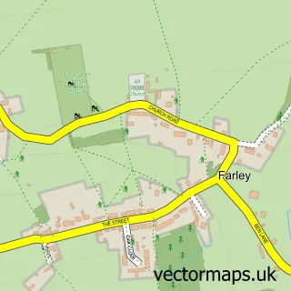
Nearby street map samples around West Tytherley

More street maps in Hampshire

750 metre map area coverage
Boundary, postcode and point of interest information for the 750m x 750m rectangle centred on this sample map.
Boundaries containing map centre
Constituency: Romsey and Southampton North Co Const
County: Hampshire County
District: Test Valley District
Icb: NHS Hampshire and Isle of Wight ICB
Parish: West Tytherley CP
Police Force: hampshire
Postcode District: SP5
Postcode Sector: SP5 1
Ward: Mid Test Ward
Nearby boundaries intersecting sample
No additional intersecting boundaries found.
Postcode coverage
POI category counts
Bed And Breakfast: 2
Elementary School: 2
Post Office: 2
Anglican Church: 1
Bathroom Remodeling: 1
Convenience Store: 1
Metal Fabricator: 1
Pub: 1
Restaurant: 1
Sample points of interest
- West Tytherley: St Peter
- Sanitary Salvage
- Farthing Corner B&B
- Farthing Corner B&B
- West Tytherley Village Store
- West Tytherley CE Primary School
- West Tytherley Church of England Primary School
- Symbiotics Design Consultancy Ltd.
- West Tytherley Post Office
- West Tytherley Post Office
- The Black Horse
- The Black Horse West Tytherley
Create a larger editable map of West Tytherley
This sample shows only a 750 metre area. To create a larger map of West Tytherley, use our map builder to choose your own coverage area, add titles and download editable SVG, PDF and PNG files.
Create a custom map of West Tytherley