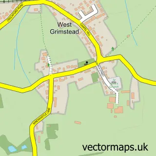
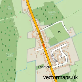
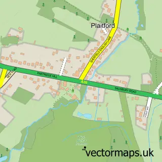
This Whiteparish street map is a detailed vector street map covering a 750m x 750m area. Select a larger area to create and download your own vector street map of Whiteparish.
The 750-metre map sample for Whiteparish covers 222 mapped buildings and approximately 7.9 km of road detail, of which 14 named roads are named. The immediate area includes 1 school, 1 GP surgery and 3 pubs. The wider area around Whiteparish features 3 food and drink venues and 1 hotel. To create a larger or custom map of Whiteparish, the map builder lets you define your own coverage area and download editable SVG, PDF and PNG files.
Create a larger editable map of Whiteparish
Choose any area you need and generate a high-quality vector map instantly. Perfect for print, planning, design, business and personal use.

This Whiteparish street map in Wiltshire is available as downloadable SVG, PDF and PNG map files, or as a printed map for planning, business, display, education, local information and design work. You can also create a larger custom map area using the map selector.
What this Whiteparish map sample shows
Whiteparish lies within Whiteparish Cp parish, part of Alderbury And Whiteparish ward in the Wiltshire local authority area. The postcode geography for this area includes the SP postcode area, the SP5 postcode district and the SP5 2 postcode sector. Residents fall under the Nhs Bath And North East Somerset, Swindon And Wiltshire Integrated Care Board for NHS services.
Local features near Whiteparish
Within 2 milesAmenities and services in and around Whiteparish.
Administrative and postcode information for Whiteparish
Whiteparish lies within Whiteparish Cp parish, part of Alderbury And Whiteparish ward in the Wiltshire local authority area. The postcode geography for this area includes the SP postcode area, the SP5 postcode district and the SP5 2 postcode sector. Residents fall under the Nhs Bath And North East Somerset, Swindon And Wiltshire Integrated Care Board for NHS services.
Nearby street map samples around Whiteparish

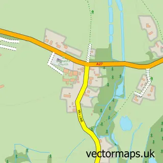
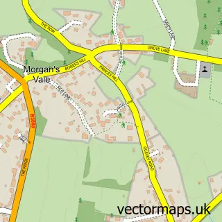
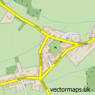
More street maps in Wiltshire
750 metre map area coverage
Boundary, postcode and point of interest information for the 750m x 750m rectangle centred on this sample map.
Boundaries containing map centre
Constituency: Salisbury Co Const
District: Wiltshire
Icb: NHS Bath and North East Somerset Swindon and Wiltshire ICB
Parish: Whiteparish CP
Police Force: wiltshire
Postcode District: SP5
Postcode Sector: SP5 2
Nearby boundaries intersecting sample
No additional intersecting boundaries found.
Postcode coverage
POI category counts
Pub: 3
Community Services Non Profits: 2
Doctor: 2
Alternative Medicine: 1
Anglican Church: 1
Bar: 1
Business Consulting: 1
Business Office Supplies And Stationery: 1
Butcher Shop: 1
Church Cathedral: 1
Sample points of interest
- Vanessa Churchill Homeopathy
- Whiteparish: All Saints' Church
- Kings Head
- A K R
- Whiteparish Computers
- H&H Caterers LTD
- All Saints Church
- Whiteparish & Landford Link Scheme
- Whiteparish Memorial Centre
- Whiteparish Village Stores and Post Office
- Pepperbox Pre-School
- Whiteparish Surgery
Create a larger editable map of Whiteparish
This sample shows only a 750 metre area. To create a larger map of Whiteparish, use our map builder to choose your own coverage area, add titles and download editable SVG, PDF and PNG files.
Create a custom map of Whiteparish