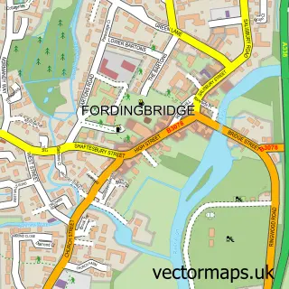
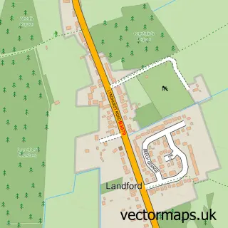
This Redlynch street map is a detailed vector street map covering a 750m x 750m area. Select a larger area to create and download your own vector street map of Redlynch.
The 750-metre map sample for Redlynch covers 238 mapped buildings and approximately 9.2 km of road detail, of which 16 named roads are named. The immediate area includes 1 GP surgery within 2 miles, 1 pub and 4 MOT stations within 2 miles. The wider area around Redlynch features 2 tourism points of interest, 1 food and drink venue and 2 hotels. To create a larger or custom map of Redlynch, the map builder lets you define your own coverage area and download editable SVG, PDF and PNG files.
Create a larger editable map of Redlynch
Choose any area you need and generate a high-quality vector map instantly. Perfect for print, planning, design, business and personal use.

This Redlynch street map in Wiltshire is available as downloadable SVG, PDF and PNG map files, or as a printed map for planning, business, display, education, local information and design work. You can also create a larger custom map area using the map selector.
What this Redlynch map sample shows
Redlynch lies within Redlynch Cp parish, part of Redlynch And Landford ward in the Wiltshire local authority area. The postcode geography for this area includes the SP postcode area, the SP5 postcode district and the SP5 2 postcode sector. Residents fall under the Nhs Bath And North East Somerset, Swindon And Wiltshire Integrated Care Board for NHS services.
Local features near Redlynch
Within 2 milesAmenities and services in and around Redlynch.
Administrative and postcode information for Redlynch
The local authority covering Redlynch is Wiltshire, within the county of Wiltshire. The settlement lies within Redlynch And Landford ward and Redlynch Cp civil parish. The SP5 postcode district and SP5 2 postcode sector serve the immediate area. NHS provision in the area is delivered through Salisbury Nhs Foundation Trust.
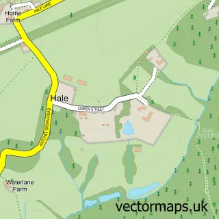
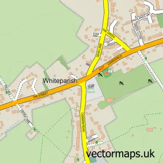
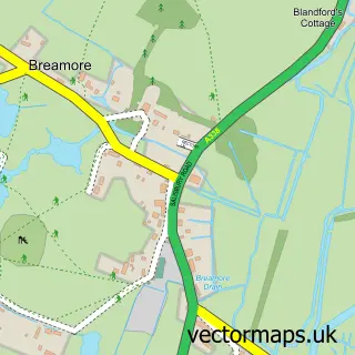
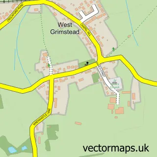
Nearby street map samples around Redlynch


More street maps in Wiltshire
750 metre map area coverage
Boundary, postcode and point of interest information for the 750m x 750m rectangle centred on this sample map.
Boundaries containing map centre
Constituency: Salisbury Co Const
District: Wiltshire
Icb: NHS Bath and North East Somerset Swindon and Wiltshire ICB
Parish: Redlynch CP
Police Force: wiltshire
Postcode District: SP5
Postcode Sector: SP5 2
Nearby boundaries intersecting sample
No additional intersecting boundaries found.
Postcode coverage
POI category counts
Hotel: 2
Landmark And Historical Building: 2
Building Supply Store: 1
Environmental And Ecological Services For Businesses: 1
Gastropub: 1
Hvac Services: 1
Indian Restaurant: 1
Lodge: 1
Professional Services: 1
Pub: 1
Sample points of interest
- S J Heating
- Kingfisher Ecology Ltd
- The Kings Head
- Copperwood Cottage, New Forest
- George Inn The
- Building Ventilation Solutions Ltd.
- Shere Khan
- Langley Wood and Homan's Copse
- Turf Hill New Forest
- Redlynch Lodge
- Downton Scaffolding LTD
- Kings Head
Create a larger editable map of Redlynch
This sample shows only a 750 metre area. To create a larger map of Redlynch, use our map builder to choose your own coverage area, add titles and download editable SVG, PDF and PNG files.
Create a custom map of Redlynch