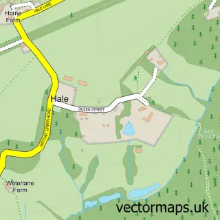
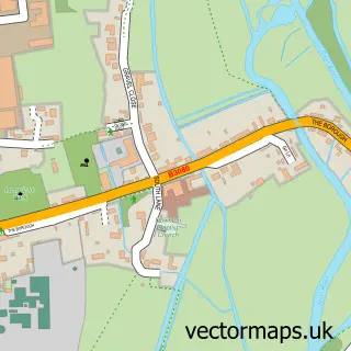
This North Charford street map is a detailed vector street map covering a 750m x 750m area. Select a larger area to create and download your own vector street map of North Charford.
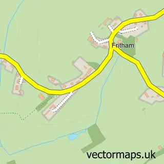
The 750-metre map sample for North Charford covers 154 mapped buildings and approximately 11.5 km of road detail, of which 5 named roads are named. The immediate area includes 1 school, 1 GP surgery within 2 miles and 1 MOT station within 2 miles. The wider area around North Charford features 1 tourism point of interest and 1 campsite within 2 miles. To create a larger or custom map of North Charford, the map builder lets you define your own coverage area and download editable SVG, PDF and PNG files.
Create a larger editable map of North Charford
Choose any area you need and generate a high-quality vector map instantly. Perfect for print, planning, design, business and personal use.

This North Charford street map in Hampshire is available as downloadable SVG, PDF and PNG map files, or as a printed map for planning, business, display, education, local information and design work. You can also create a larger custom map area using the map selector.
What this North Charford map sample shows
North Charford lies within Hale Cp parish, part of Downlands And Forest ward in the New Forest District local authority area. The postcode geography for this area includes the SP postcode area, the SP6 postcode district and the SP6 2 postcode sector. Residents fall under the Nhs Hampshire And Isle Of Wight Integrated Care Board for NHS services.
Local features near North Charford
Within 2 milesAmenities and services in and around North Charford.
Administrative and postcode information for North Charford
North Charford lies within Hale Cp parish, part of Downlands And Forest ward in the New Forest District local authority area. The postcode geography for this area includes the SP postcode area, the SP6 postcode district and the SP6 2 postcode sector. Residents fall under the Nhs Hampshire And Isle Of Wight Integrated Care Board for NHS services.
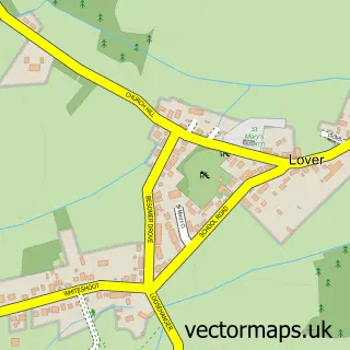
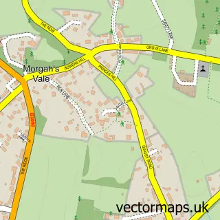
Nearby street map samples around North Charford


More street maps in Hampshire
750 metre map area coverage
Boundary, postcode and point of interest information for the 750m x 750m rectangle centred on this sample map.
Boundaries containing map centre
Constituency: New Forest West Co Const
County: Hampshire County
District: New Forest District
Icb: NHS Hampshire and Isle of Wight ICB
Parish: Hale CP
Police Force: hampshire
Postcode District: SP6
Postcode Sector: SP6 2
Ward: Downlands & Forest North Ward
Nearby boundaries intersecting sample
Constituency: Salisbury Co Const
District: Wiltshire
Icb: NHS Bath and North East Somerset Swindon and Wiltshire ICB
Parish: Redlynch CP
Police Force: wiltshire
Postcode District: SP5
Postcode Sector: SP5 2
Postcode coverage
POI category counts
Day Care Preschool: 1
Elementary School: 1
Event Planning: 1
Grocery Store: 1
Landmark And Historical Building: 1
Video Film Production: 1
Wine Bar: 1
Sample points of interest
- Hale Pre-School & Toddler Group has closedown
- Hale Primary School
- Hale Park Weddings
- Hale Local Food Market
- Hale, Hampshire
- Firefly Productions
- Swallow Fine Wines Limited
Create a larger editable map of North Charford
This sample shows only a 750 metre area. To create a larger map of North Charford, use our map builder to choose your own coverage area, add titles and download editable SVG, PDF and PNG files.
Create a custom map of North Charford