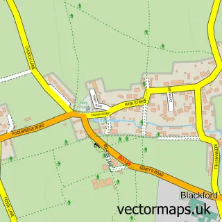
This West Stoughton street map is a detailed vector street map covering a 750m x 750m area. Select a larger area to create and download your own vector street map of West Stoughton.
The 750-metre map sample for West Stoughton covers 67 mapped buildings and approximately 6.3 km of road detail, of which 1 named road are named. The immediate area includes 1 MOT station within 2 miles. The wider area around West Stoughton features 1 campsite within 2 miles. To create a larger or custom map of West Stoughton, the map builder lets you define your own coverage area and download editable SVG, PDF and PNG files.
Create a larger editable map of West Stoughton
Choose any area you need and generate a high-quality vector map instantly. Perfect for print, planning, design, business and personal use.

This West Stoughton street map in Somerset is available as downloadable SVG, PDF and PNG map files, or as a printed map for planning, business, display, education, local information and design work. You can also create a larger custom map area using the map selector.
What this West Stoughton map sample shows
West Stoughton lies within Wedmore Cp parish, part of Wedmore And Mark ward in the Somerset local authority area. The postcode geography for this area includes the BS postcode area, the BS28 postcode district and the BS28 4 postcode sector. Residents fall under the Nhs Somerset Integrated Care Board for NHS services.
Local features near West Stoughton
Within 2 milesAmenities and services in and around West Stoughton.
Administrative and postcode information for West Stoughton
West Stoughton lies within Wedmore Cp parish, part of Wedmore And Mark ward in the Somerset local authority area. The postcode geography for this area includes the BS postcode area, the BS28 postcode district and the BS28 4 postcode sector. Residents fall under the Nhs Somerset Integrated Care Board for NHS services.
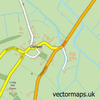
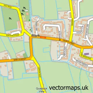
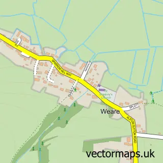
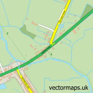
Nearby street map samples around West Stoughton


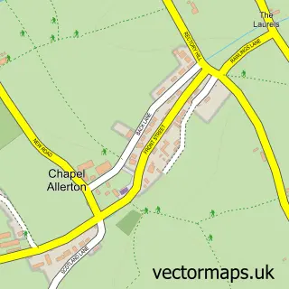
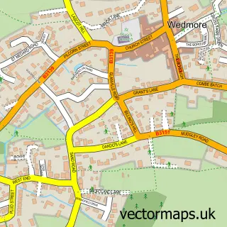
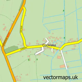
More street maps in Somerset
750 metre map area coverage
Boundary, postcode and point of interest information for the 750m x 750m rectangle centred on this sample map.
Boundaries containing map centre
Constituency: Wells and Mendip Hills Co Const
District: Somerset
Icb: NHS Somerset ICB
Parish: Wedmore CP
Police Force: avon and somerset
Postcode District: BS28
Postcode Sector: BS28 4
Nearby boundaries intersecting sample
No additional intersecting boundaries found.
Postcode coverage
POI category counts
Farm: 2
Bed And Breakfast: 1
Employment Agencies: 1
Holiday Rental Home: 1
Travel Agents: 1
Sample points of interest
- Poplar Farm
- The Drury Partnership
- Bluebell Farm Grand Design
- Pear Tree Farm Livery
- Magnolia Cottage Wedmore Somerset
- K Mitchell
Create a larger editable map of West Stoughton
This sample shows only a 750 metre area. To create a larger map of West Stoughton, use our map builder to choose your own coverage area, add titles and download editable SVG, PDF and PNG files.
Create a custom map of West Stoughton