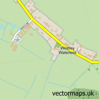
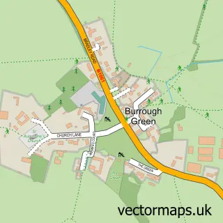
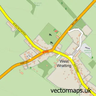
This Westley Bottom street map is a detailed vector street map covering a 750m x 750m area. Select a larger area to create and download your own vector street map of Westley Bottom.
The 750-metre map sample for Westley Bottom covers 20 mapped buildings and approximately 6.0 km of road detail, of which 1 named road are named. To create a larger or custom map of Westley Bottom, the map builder lets you define your own coverage area and download editable SVG, PDF and PNG files.
Create a larger editable map of Westley Bottom
Choose any area you need and generate a high-quality vector map instantly. Perfect for print, planning, design, business and personal use.

This Westley Bottom street map in Cambridgeshire is available as downloadable SVG, PDF and PNG map files, or as a printed map for planning, business, display, education, local information and design work. You can also create a larger custom map area using the map selector.
What this Westley Bottom map sample shows
Westley Bottom lies within Little Wilbraham Cp parish, part of Fen Ditton & Fulbourn ward in the South Cambridgeshire District local authority area. The postcode geography for this area includes the CB postcode area, the CB8 postcode district and the CB8 0 postcode sector. Residents fall under the Nhs Cambridgeshire And Peterborough Integrated Care Board for NHS services.
Administrative and postcode information for Westley Bottom
Westley Bottom lies within Little Wilbraham Cp parish, part of Fen Ditton & Fulbourn ward in the South Cambridgeshire District local authority area. The postcode geography for this area includes the CB postcode area, the CB8 postcode district and the CB8 0 postcode sector. Residents fall under the Nhs Cambridgeshire And Peterborough Integrated Care Board for NHS services.
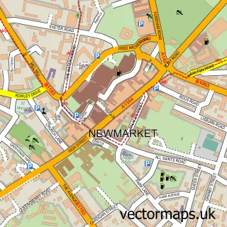
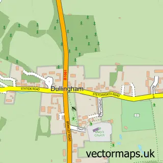
Nearby street map samples around Westley Bottom

More street maps in Cambridgeshire
750 metre map area coverage
Boundary, postcode and point of interest information for the 750m x 750m rectangle centred on this sample map.
Boundaries containing map centre
Constituency: Ely and East Cambridgeshire Co Const
County: Cambridgeshire County
District: East Cambridgeshire District
Icb: NHS Central East ICB
Parish: Westley Waterless CP
Police Force: cambridgeshire
Postcode District: CB8
Postcode Sector: CB8 0
Ward: Bottisham Ward
Nearby boundaries intersecting sample
Parish: Burrough Green CP
Ward: Woodditton Ward
Postcode coverage
POI category counts
Convenience Store: 1
Farm: 1
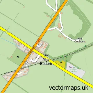
Sample points of interest
- SPAR - Six Mile Bottom
- Six Mile Bottom Farms
Create a larger editable map of Westley Bottom
This sample shows only a 750 metre area. To create a larger map of Westley Bottom, use our map builder to choose your own coverage area, add titles and download editable SVG, PDF and PNG files.
Create a custom map of Westley Bottom