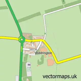
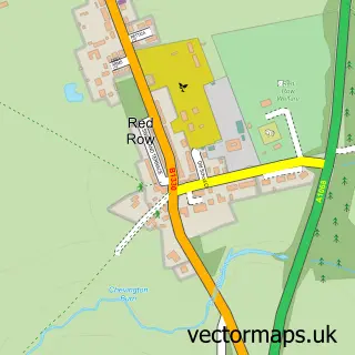
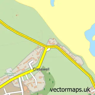
This Widdrington Station street map is a detailed vector street map covering a 750m x 750m area. Select a larger area to create and download your own vector street map of Widdrington Station.
The 750-metre map sample for Widdrington Station covers 202 mapped buildings and approximately 10.1 km of road detail, of which 17 named roads are named. The immediate area includes 1 railway station and 1 GP surgery. To create a larger or custom map of Widdrington Station, the map builder lets you define your own coverage area and download editable SVG, PDF and PNG files.
Create a larger editable map of Widdrington Station
Choose any area you need and generate a high-quality vector map instantly. Perfect for print, planning, design, business and personal use.

This Widdrington Station street map in Northumberland is available as downloadable SVG, PDF and PNG map files, or as a printed map for planning, business, display, education, local information and design work. You can also create a larger custom map area using the map selector.
What this Widdrington Station map sample shows
Widdrington Station lies within Widdrington Village Cp parish, part of Druridge Bay ward in the Northumberland local authority area. The postcode geography for this area includes the NE postcode area, the NE61 postcode district and the NE61 5 postcode sector. Residents fall under the Nhs North East And North Cumbria Integrated Care Board for NHS services.
Local features near Widdrington Station
Within 2 milesAmenities and services in and around Widdrington Station.
Administrative and postcode information for Widdrington Station
Widdrington Station lies within Widdrington Village Cp parish, part of Druridge Bay ward in the Northumberland local authority area. The postcode geography for this area includes the NE postcode area, the NE61 postcode district and the NE61 5 postcode sector. Residents fall under the Nhs North East And North Cumbria Integrated Care Board for NHS services.
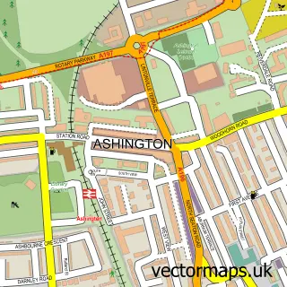
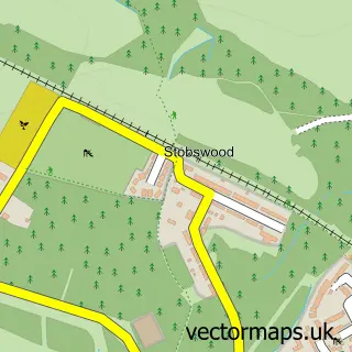
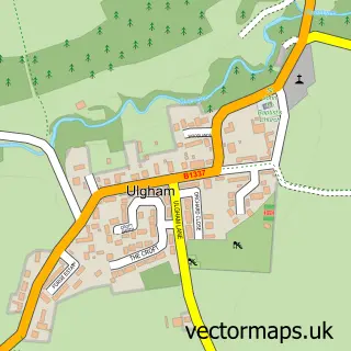
Nearby street map samples around Widdrington Station

More street maps in Northumberland
750 metre map area coverage
Boundary, postcode and point of interest information for the 750m x 750m rectangle centred on this sample map.
Boundaries containing map centre
Constituency: North Northumberland Co Const
District: Northumberland
Icb: NHS North East and North Cumbria ICB
Parish: Widdrington Station and Stobswood CP
Police Force: northumberland
Postcode District: NE61
Postcode Sector: NE61 5
Nearby boundaries intersecting sample
Parish: Widdrington Village CP
Postcode coverage
POI category counts
Train Station: 3
Shipping Center: 2
Bar: 1
Beauty Salon: 1
British Restaurant: 1
Doctor: 1
Gas Station: 1
Hair Salon: 1
Health And Medical: 1
Key And Locksmith: 1
Sample points of interest
- The Lockdown
- Bobby Mayz Beauty
- Junction Restaurant
- Northumberland Health
- Grange Garage
- Scissors & spice
- Rapid Reaction NE Ltd
- Northumbria Response
- Dial a Dog Wash
- 2nd Widdrington
- Post Office-Widdrington
- Widdrington Post Office
Create a larger editable map of Widdrington Station
This sample shows only a 750 metre area. To create a larger map of Widdrington Station, use our map builder to choose your own coverage area, add titles and download editable SVG, PDF and PNG files.
Create a custom map of Widdrington Station