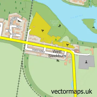
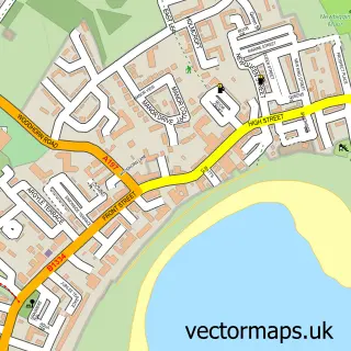
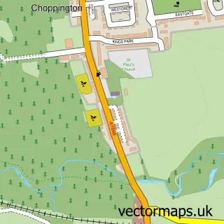
This Ashington street map is a detailed vector street map covering a 750m x 750m area. Select a larger area to create and download your own vector street map of Ashington.
The 750-metre map sample for Ashington covers 190 mapped buildings and approximately 23.6 km of road detail, of which 24 named roads are named. The immediate area includes 3 schools, 1 GP surgery within 2 miles, 8 pubs and 3 MOT stations, with 15 within 2 miles. The wider area around Ashington features 2 tourism points of interest and 26 food and drink venues. To create a larger or custom map of Ashington, the map builder lets you define your own coverage area and download editable SVG, PDF and PNG files.
Create a larger editable map of Ashington
Choose any area you need and generate a high-quality vector map instantly. Perfect for print, planning, design, business and personal use.

This Ashington street map in Northumberland is available as downloadable SVG, PDF and PNG map files, or as a printed map for planning, business, display, education, local information and design work. You can also create a larger custom map area using the map selector.
What this Ashington map sample shows
Ashington lies within Ashington Cp parish, part of Ashington Central ward in the Northumberland local authority area. The postcode geography for this area includes the NE postcode area, the NE63 postcode district and the NE63 9 postcode sector. Residents fall under the Nhs North East And North Cumbria Integrated Care Board for NHS services.
Local features near Ashington
Within 2 milesAmenities and services in and around Ashington.
Administrative and postcode information for Ashington
The local authority covering Ashington is Northumberland, within the county of Northumberland. The settlement lies within Ashington Central ward and Ashington Cp civil parish. The NE63 postcode district and NE63 9 postcode sector serve the immediate area. NHS provision in the area is delivered through Northumbria Healthcare Nhs Foundation Trust.
Nearby street map samples around Ashington

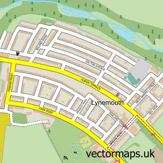
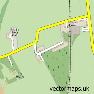
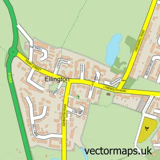
More street maps in Northumberland
750 metre map area coverage
Boundary, postcode and point of interest information for the 750m x 750m rectangle centred on this sample map.
Boundaries containing map centre
Constituency: Blyth and Ashington Co Const
District: Northumberland
Icb: NHS North East and North Cumbria ICB
Parish: Ashington CP
Police Force: northumberland
Postcode District: NE63
Postcode Sector: NE63 9
Nearby boundaries intersecting sample
Postcode Sector: NE63 0, NE63 8
Postcode coverage
POI category counts
Beauty Salon: 14
Restaurant: 11
Pizza Restaurant: 10
Bar: 9
Hair Salon: 9
Beauty And Spa: 8
Professional Services: 8
Pub: 8
Charity Organization: 7
Furniture Store: 7
Sample points of interest
- Ashington Judo Club for over 14's
- Admiral Casino: Ashington
- The Children's Society
- Iceland Supermarket Ashington
- The Sewing Machine Guy
- Richardsons Amusements
- Aitkin Newsagents
- Cash machine 19 Station Road
- Cashpoint® 3 Station Road
- The Hearing Care Partnership
- Ashington Car Valeting and Detailing
- Express Car Valet Centre
Create a larger editable map of Ashington
This sample shows only a 750 metre area. To create a larger map of Ashington, use our map builder to choose your own coverage area, add titles and download editable SVG, PDF and PNG files.
Create a custom map of Ashington