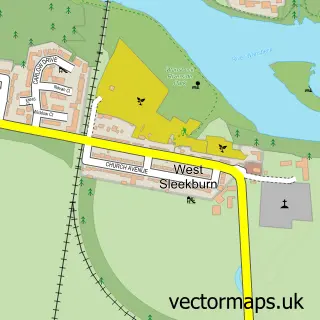
This Woodhorn street map is a detailed vector street map covering a 750m x 750m area. Select a larger area to create and download your own vector street map of Woodhorn.
The 750-metre map sample for Woodhorn covers 32 mapped buildings and approximately 11.1 km of road detail. The immediate area includes 1 GP surgery within 2 miles and 10 MOT stations within 2 miles. The wider area around Woodhorn features 1 tourism point of interest. To create a larger or custom map of Woodhorn, the map builder lets you define your own coverage area and download editable SVG, PDF and PNG files.
Create a larger editable map of Woodhorn
Choose any area you need and generate a high-quality vector map instantly. Perfect for print, planning, design, business and personal use.

This Woodhorn street map in Northumberland is available as downloadable SVG, PDF and PNG map files, or as a printed map for planning, business, display, education, local information and design work. You can also create a larger custom map area using the map selector.
What this Woodhorn map sample shows
Woodhorn lies within Newbiggin By The Sea Cp parish, part of Newbiggin Central And East ward in the Northumberland local authority area. The postcode geography for this area includes the NE postcode area, the NE63 postcode district and the NE63 9 postcode sector. Residents fall under the Nhs North East And North Cumbria Integrated Care Board for NHS services.
Local features near Woodhorn
Within 2 milesAmenities and services in and around Woodhorn.
Administrative and postcode information for Woodhorn
The local authority covering Woodhorn is Northumberland, within the county of Northumberland. The settlement lies within Newbiggin Central And East ward and Newbiggin By The Sea Cp civil parish. The NE63 postcode district and NE63 9 postcode sector serve the immediate area. NHS provision in the area is delivered through Northumbria Healthcare Nhs Foundation Trust.
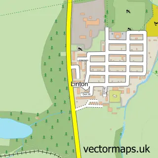
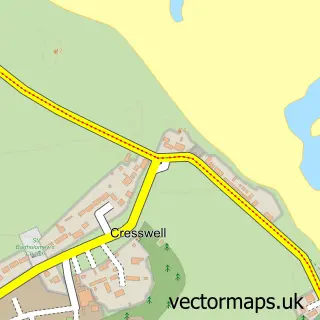
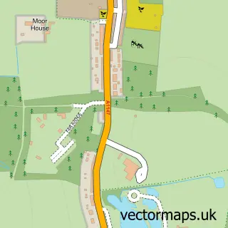
Nearby street map samples around Woodhorn
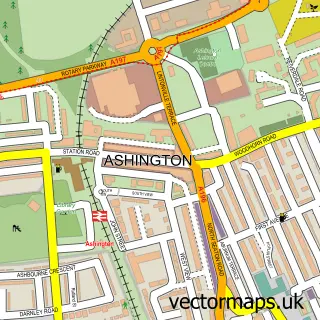

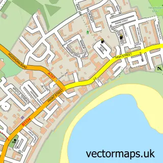
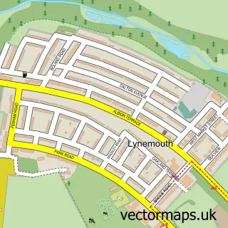
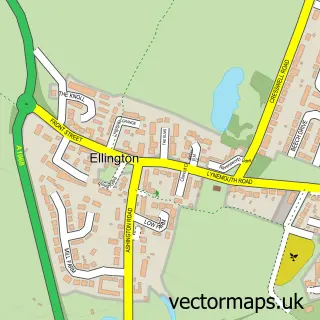
More street maps in Northumberland
750 metre map area coverage
Boundary, postcode and point of interest information for the 750m x 750m rectangle centred on this sample map.
Boundaries containing map centre
Constituency: Blyth and Ashington Co Const
District: Northumberland
Icb: NHS North East and North Cumbria ICB
Parish: Newbiggin by the Sea CP
Police Force: northumberland
Postcode District: NE63
Postcode Sector: NE63 9
Nearby boundaries intersecting sample
Parish: Ashington CP
Postcode coverage
POI category counts
Funeral Services And Cemeteries: 3
Bar: 1
Beauty And Spa: 1
Butcher Shop: 1
Church Cathedral: 1
History Museum: 1
Pet Store: 1
Public Service And Government: 1
Shopping: 1
Sports Club And League: 1
Sample points of interest
- The Colliers Bar at Ashington FC
- IDUNN Aesthetics
- Clark's butchers
- Woodhorn Church
- A J Gascoigne & Son Funeral Directors
- A.J.Gascoigne & Son Funeral Directors
- A.J.Gascoigne & Son Funeral Directors
- Woodhorn Village
- Taylors Pet Supplies LTD
- Woodhorn Cemetary
- Northumberland Tartan
- Persistence Motorsport
Create a larger editable map of Woodhorn
This sample shows only a 750 metre area. To create a larger map of Woodhorn, use our map builder to choose your own coverage area, add titles and download editable SVG, PDF and PNG files.
Create a custom map of Woodhorn