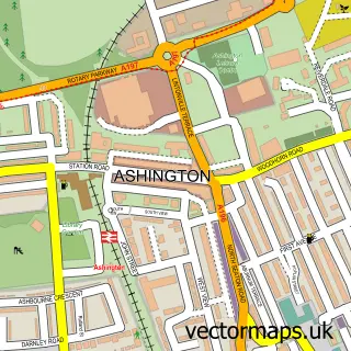
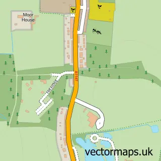
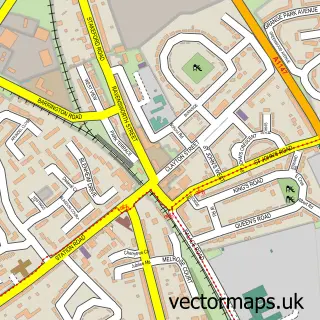
This Newbiggin by the Sea street map is a detailed vector street map covering a 750m x 750m area. Select a larger area to create and download your own vector street map of Newbiggin by the Sea.
The 750-metre map sample for Newbiggin by the Sea covers 244 mapped buildings and approximately 17.3 km of road detail, of which 32 named roads are named. The immediate area includes 5 pubs and 1 MOT station, with 5 within 2 miles. The wider area around Newbiggin by the Sea features 2 tourism points of interest, 11 food and drink venues and 2 hotels. To create a larger or custom map of Newbiggin by the Sea, the map builder lets you define your own coverage area and download editable SVG, PDF and PNG files.
Create a larger editable map of Newbiggin by the Sea
Choose any area you need and generate a high-quality vector map instantly. Perfect for print, planning, design, business and personal use.

This Newbiggin by the Sea street map in Northumberland is available as downloadable SVG, PDF and PNG map files, or as a printed map for planning, business, display, education, local information and design work. You can also create a larger custom map area using the map selector.
What this Newbiggin by the Sea map sample shows
Newbiggin by the Sea lies within Newbiggin By The Sea Cp parish, part of Newbiggin Central And East ward in the Northumberland local authority area. The postcode geography for this area includes the NE postcode area, the NE64 postcode district and the NE64 6 postcode sector. Residents fall under the Nhs North East And North Cumbria Integrated Care Board for NHS services.
Local features near Newbiggin by the Sea
Within 2 milesAmenities and services in and around Newbiggin by the Sea.
Administrative and postcode information for Newbiggin by the Sea
The local authority covering Newbiggin by the Sea is Northumberland, within the county of Northumberland. The settlement lies within Newbiggin Central And East ward and Newbiggin By The Sea Cp civil parish. The NE64 postcode district and NE64 6 postcode sector serve the immediate area. NHS provision in the area is delivered through Northumbria Healthcare Nhs Foundation Trust.
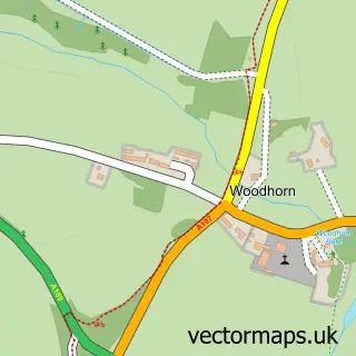
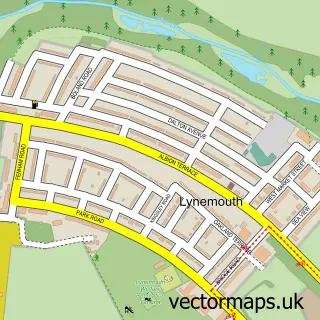
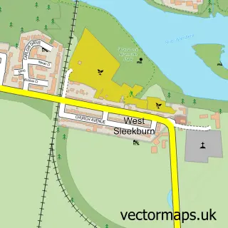
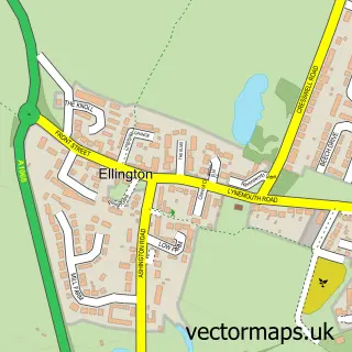
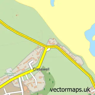
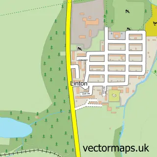
Nearby street map samples around Newbiggin by the Sea

More street maps in Northumberland
750 metre map area coverage
Boundary, postcode and point of interest information for the 750m x 750m rectangle centred on this sample map.
Boundaries containing map centre
Constituency: Blyth and Ashington Co Const
District: Northumberland
Icb: NHS North East and North Cumbria ICB
Parish: Newbiggin by the Sea CP
Police Force: northumberland
Postcode District: NE64
Postcode Sector: NE64 6
Nearby boundaries intersecting sample
No additional intersecting boundaries found.
Postcode coverage
POI category counts
Professional Services: 5
Pub: 5
Hair Salon: 4
Barber: 3
Cafe: 3
Fish And Chips Restaurant: 3
Flowers And Gifts Shop: 3
Holiday Rental Home: 3
Pizza Restaurant: 3
Restaurant: 3
Sample points of interest
- Marian's Wool & Haberdashery
- The Sea Glass Company
- The Cooperative Food (BF) Newbiggin Central
- Emery's Valeting & Detailing
- Andersons
- Bella Ciao
- Muzz Cutz
- Newbiggin Turkish barber
- SHAVE BY the SHORE
- East Sea Sands Newbiggin
- Beauty by the sea
- Chelsea Nicolle Beauty & Aesthetics
Create a larger editable map of Newbiggin by the Sea
This sample shows only a 750 metre area. To create a larger map of Newbiggin by the Sea, use our map builder to choose your own coverage area, add titles and download editable SVG, PDF and PNG files.
Create a custom map of Newbiggin by the Sea