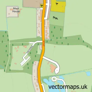
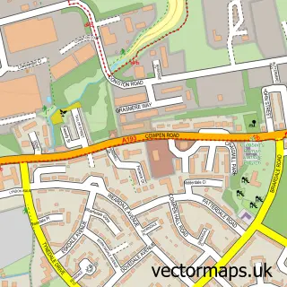
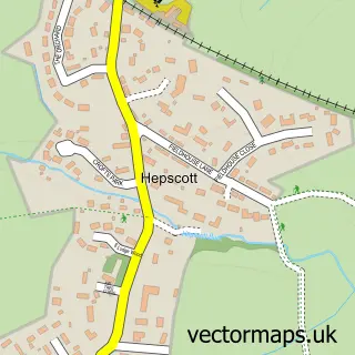
This West Sleekburn street map is a detailed vector street map covering a 750m x 750m area. Select a larger area to create and download your own vector street map of West Sleekburn.
The 750-metre map sample for West Sleekburn covers 135 mapped buildings and approximately 4.8 km of road detail, of which 6 named roads are named. The immediate area includes 3 GP surgeries within 2 miles, 2 pubs and 20 MOT stations within 2 miles. The wider area around West Sleekburn features 2 food and drink venues. To create a larger or custom map of West Sleekburn, the map builder lets you define your own coverage area and download editable SVG, PDF and PNG files.
Create a larger editable map of West Sleekburn
Choose any area you need and generate a high-quality vector map instantly. Perfect for print, planning, design, business and personal use.

This West Sleekburn street map in Northumberland is available as downloadable SVG, PDF and PNG map files, or as a printed map for planning, business, display, education, local information and design work. You can also create a larger custom map area using the map selector.
What this West Sleekburn map sample shows
West Sleekburn lies within Choppington Cp parish, part of Stakeford ward in the Northumberland local authority area. The postcode geography for this area includes the NE postcode area, the NE62 postcode district and the NE62 5 postcode sector. Residents fall under the Nhs North East And North Cumbria Integrated Care Board for NHS services.
Local features near West Sleekburn
Within 2 milesAmenities and services in and around West Sleekburn.
Administrative and postcode information for West Sleekburn
The local authority covering West Sleekburn is Northumberland, within the county of Northumberland. The settlement lies within Stakeford ward and Choppington Cp civil parish. The NE62 postcode district and NE62 5 postcode sector serve the immediate area. NHS provision in the area is delivered through Northumbria Healthcare Nhs Foundation Trust.
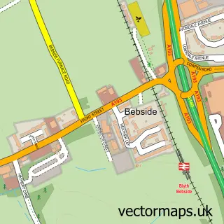
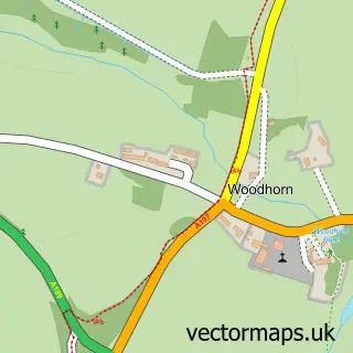
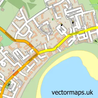
Nearby street map samples around West Sleekburn
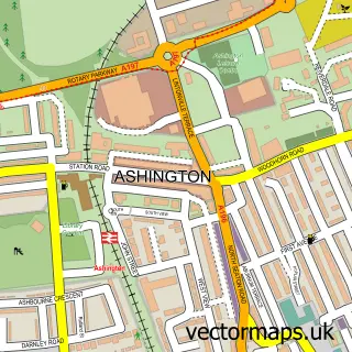

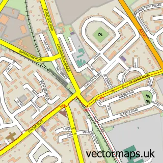
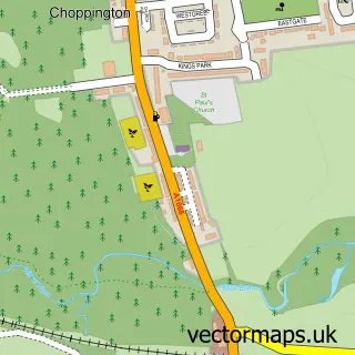
More street maps in Northumberland
750 metre map area coverage
Boundary, postcode and point of interest information for the 750m x 750m rectangle centred on this sample map.
Boundaries containing map centre
Constituency: Blyth and Ashington Co Const
District: Northumberland
Icb: NHS North East and North Cumbria ICB
Parish: Choppington CP
Police Force: northumberland
Postcode District: NE62
Postcode Sector: NE62 5
Nearby boundaries intersecting sample
Parish: Ashington CP
Postcode District: NE22, NE63
Postcode Sector: NE22 7, NE63 0
Postcode coverage
POI category counts
Pub: 2
Roofing: 2
Assisted Living Facility: 1
Dog Walkers: 1
Pet Sitting: 1
Retirement Home: 1
Tire Dealer And Repair: 1
Sample points of interest
- Wansbeck Care Home
- Pawtastic Dog Walks
- Love Your Pets
- Foresters Arms
- The Foresters Arms
- Wansbeck Care Home
- Rooftops North East
- Rooftops North East
- West Sleekburn Tyre Services\n
Create a larger editable map of West Sleekburn
This sample shows only a 750 metre area. To create a larger map of West Sleekburn, use our map builder to choose your own coverage area, add titles and download editable SVG, PDF and PNG files.
Create a custom map of West Sleekburn