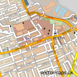
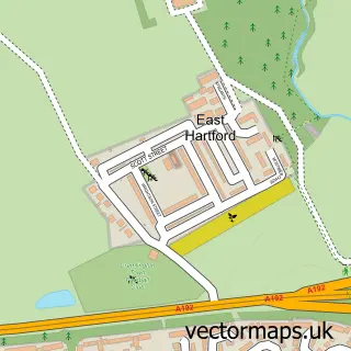
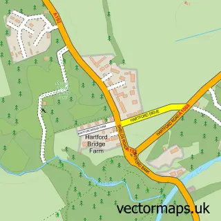
This Cowpen street map is a detailed vector street map covering a 750m x 750m area. Select a larger area to create and download your own vector street map of Cowpen.
The 750-metre map sample for Cowpen covers 296 mapped buildings and approximately 16.7 km of road detail, of which 38 named roads are named. The immediate area includes 3 GP surgeries within 2 miles, 2 pubs and 1 MOT station, with 16 within 2 miles. The wider area around Cowpen features 4 food and drink venues and 2 hotels. To create a larger or custom map of Cowpen, the map builder lets you define your own coverage area and download editable SVG, PDF and PNG files.
Create a larger editable map of Cowpen
Choose any area you need and generate a high-quality vector map instantly. Perfect for print, planning, design, business and personal use.

This Cowpen street map in Northumberland is available as downloadable SVG, PDF and PNG map files, or as a printed map for planning, business, display, education, local information and design work. You can also create a larger custom map area using the map selector.
What this Cowpen map sample shows
Cowpen lies within Blyth Cp parish, part of Kitty Brewster ward in the Northumberland local authority area. The postcode geography for this area includes the NE postcode area, the NE24 postcode district and the NE24 4 postcode sector. Residents fall under the Nhs North East And North Cumbria Integrated Care Board for NHS services.
Local features near Cowpen
Within 2 milesAmenities and services in and around Cowpen.
Administrative and postcode information for Cowpen
Cowpen lies within Blyth Cp parish, part of Kitty Brewster ward in the Northumberland local authority area. The postcode geography for this area includes the NE postcode area, the NE24 postcode district and the NE24 4 postcode sector. Residents fall under the Nhs North East And North Cumbria Integrated Care Board for NHS services.
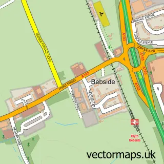
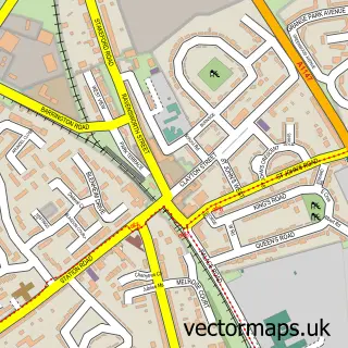
Nearby street map samples around Cowpen

More street maps in Northumberland
750 metre map area coverage
Boundary, postcode and point of interest information for the 750m x 750m rectangle centred on this sample map.
Boundaries containing map centre
Constituency: Blyth and Ashington Co Const
District: Northumberland
Icb: NHS North East and North Cumbria ICB
Parish: Blyth CP
Police Force: northumberland
Postcode District: NE24
Postcode Sector: NE24 5
Nearby boundaries intersecting sample
Postcode Sector: NE24 4
Postcode coverage
POI category counts
Automotive Repair: 4
Church Cathedral: 4
Assisted Living Facility: 3
Dentist: 3
Building Supply Store: 2
Chinese Restaurant: 2
Community Center: 2
Convenience Store: 2
Engineering Services: 2
Gym: 2
Sample points of interest
- Windmill Inn
- Chasedale Care Home
- Oak Lodge
- Tynedale House
- Londis (SWAP) (BEST ONE)
- Complete Automotive
- Hinterland - Welding & Fabrications
- Rapid Fit
- Thomas Fuel Injection
- InstaVolt Charging Station
- Tharsus
- Greggs
Create a larger editable map of Cowpen
This sample shows only a 750 metre area. To create a larger map of Cowpen, use our map builder to choose your own coverage area, add titles and download editable SVG, PDF and PNG files.
Create a custom map of Cowpen