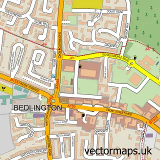
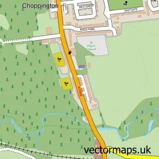
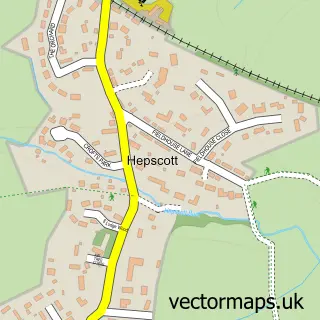
This Bedlington Station street map is a detailed vector street map covering a 750m x 750m area. Select a larger area to create and download your own vector street map of Bedlington Station.
The 750-metre map sample for Bedlington Station covers 455 mapped buildings and approximately 21.0 km of road detail, of which 40 named roads are named. The immediate area includes 1 primary school and 1 secondary school, 1 GP surgery, with 3 within 2 miles, 2 pubs and 2 MOT stations, with 17 within 2 miles. The wider area around Bedlington Station features 1 tourism point of interest, 5 food and drink venues and 1 hotel. To create a larger or custom map of Bedlington Station, the map builder lets you define your own coverage area and download editable SVG, PDF and PNG files.
Create a larger editable map of Bedlington Station
Choose any area you need and generate a high-quality vector map instantly. Perfect for print, planning, design, business and personal use.

This Bedlington Station street map in Northumberland is available as downloadable SVG, PDF and PNG map files, or as a printed map for planning, business, display, education, local information and design work. You can also create a larger custom map area using the map selector.
What this Bedlington Station map sample shows
Bedlington Station lies within East Bedlington Cp parish, part of Bedlington East ward in the Northumberland local authority area. The postcode geography for this area includes the NE postcode area, the NE22 postcode district and the NE22 5 postcode sector. Residents fall under the Nhs North East And North Cumbria Integrated Care Board for NHS services.
Local features near Bedlington Station
Within 2 milesAmenities and services in and around Bedlington Station.
Administrative and postcode information for Bedlington Station
Bedlington Station lies within East Bedlington Cp parish, part of Bedlington East ward in the Northumberland local authority area. The postcode geography for this area includes the NE postcode area, the NE22 postcode district and the NE22 5 postcode sector. Residents fall under the Nhs North East And North Cumbria Integrated Care Board for NHS services.
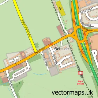
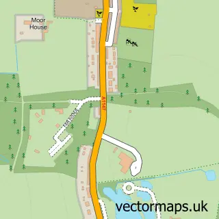
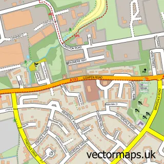
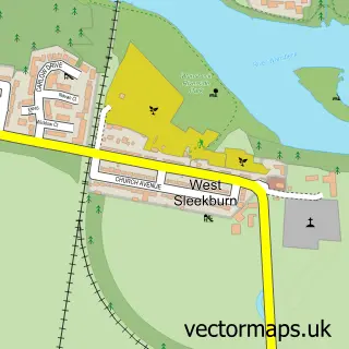
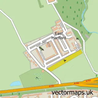
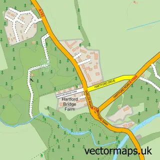
Nearby street map samples around Bedlington Station

More street maps in Northumberland
750 metre map area coverage
Boundary, postcode and point of interest information for the 750m x 750m rectangle centred on this sample map.
Boundaries containing map centre
Constituency: Blyth and Ashington Co Const
District: Northumberland
Icb: NHS North East and North Cumbria ICB
Parish: East Bedlington CP
Police Force: northumberland
Postcode District: NE22
Postcode Sector: NE22 7
Nearby boundaries intersecting sample
Parish: Choppington CP
Postcode Sector: NE22 5
Postcode coverage
POI category counts
Professional Services: 6
Automotive Repair: 5
Bakery: 5
Beauty Salon: 5
Doctor: 5
Building Supply Store: 4
Convenience Store: 4
Fast Food Restaurant: 4
Gym: 4
Hair Salon: 3
Sample points of interest
- HIIT STEP Northumberland | Bedlington
- Millie's American Diner
- St John, Sleekburn, Bedlington Station
- Keenleyside D I Y
- Sleekburn House
- Hambleton Estate (Cash Score)
- The Cooperative Food (BF) Bedlington Station, Bedlington Station
- D S Digital Installations
- ds Digital Installations
- Johns Car Parts
- A Jays Autos
- C B Motors
Create a larger editable map of Bedlington Station
This sample shows only a 750 metre area. To create a larger map of Bedlington Station, use our map builder to choose your own coverage area, add titles and download editable SVG, PDF and PNG files.
Create a custom map of Bedlington Station