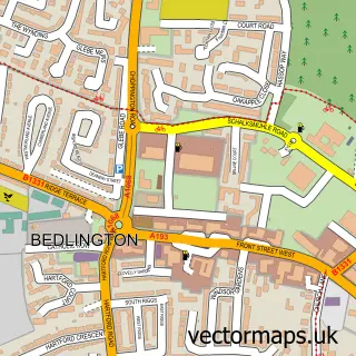
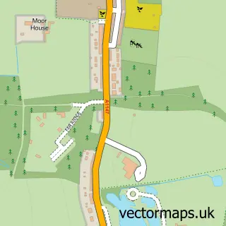
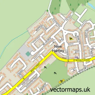
This Bebside street map is a detailed vector street map covering a 750m x 750m area. Select a larger area to create and download your own vector street map of Bebside.
The 750-metre map sample for Bebside covers 105 mapped buildings and approximately 19.5 km of road detail, of which 11 named roads are named. The immediate area includes 4 GP surgeries within 2 miles, 2 pubs and 16 MOT stations within 2 miles. The wider area around Bebside features 2 tourism points of interest and 5 food and drink venues. To create a larger or custom map of Bebside, the map builder lets you define your own coverage area and download editable SVG, PDF and PNG files.
Create a larger editable map of Bebside
Choose any area you need and generate a high-quality vector map instantly. Perfect for print, planning, design, business and personal use.

This Bebside street map in Northumberland is available as downloadable SVG, PDF and PNG map files, or as a printed map for planning, business, display, education, local information and design work. You can also create a larger custom map area using the map selector.
What this Bebside map sample shows
Bebside lies within Blyth Cp parish, part of Kitty Brewster ward in the Northumberland local authority area. The postcode geography for this area includes the NE postcode area, the NE24 postcode district and the NE24 4 postcode sector. Residents fall under the Nhs North East And North Cumbria Integrated Care Board for NHS services.
Local features near Bebside
Within 2 milesAmenities and services in and around Bebside.
Administrative and postcode information for Bebside
The local authority covering Bebside is Northumberland, within the county of Northumberland. The settlement lies within Kitty Brewster ward and Blyth Cp civil parish. The NE24 postcode district and NE24 4 postcode sector serve the immediate area. NHS provision in the area is delivered through Northumbria Healthcare Nhs Foundation Trust.
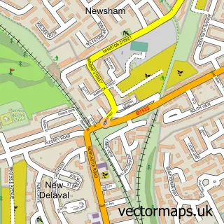
Nearby street map samples around Bebside

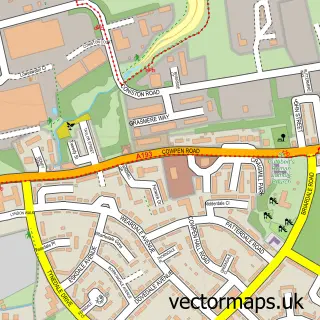
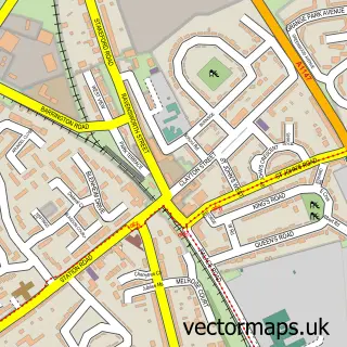
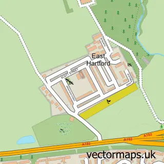
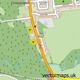
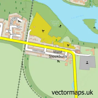
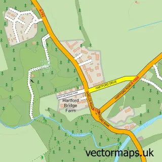
More street maps in Northumberland
750 metre map area coverage
Boundary, postcode and point of interest information for the 750m x 750m rectangle centred on this sample map.
Boundaries containing map centre
Constituency: Blyth and Ashington Co Const
District: Northumberland
Icb: NHS North East and North Cumbria ICB
Parish: Blyth CP
Police Force: northumberland
Postcode District: NE24
Postcode Sector: NE24 4
Nearby boundaries intersecting sample
No additional intersecting boundaries found.
Postcode coverage
POI category counts
Car Dealer: 3
Coffee Shop: 2
Currency Exchange: 2
Gas Station: 2
Landmark And Historical Building: 2
Professional Services: 2
Pub: 2
Train Station: 2
Used Car Dealer: 2
Auto Body Shop: 1
Sample points of interest
- Paint N Place
- Redburn Motor Company
- Porky's
- Barnburner Boxing
- Davenport Motor Company
- Four brothers ltd
- The Fat Butcher
- Blyth Motors
- Joseph David Simm ltd
- Redburn Motor Company
- Costa Express
- Starbucks UK
Create a larger editable map of Bebside
This sample shows only a 750 metre area. To create a larger map of Bebside, use our map builder to choose your own coverage area, add titles and download editable SVG, PDF and PNG files.
Create a custom map of Bebside