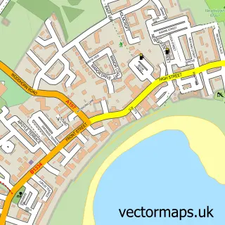
This Cresswell street map is a detailed vector street map covering a 750m x 750m area. Select a larger area to create and download your own vector street map of Cresswell.
The 750-metre map sample for Cresswell covers 71 mapped buildings and approximately 5.9 km of road detail, of which 1 named road are named. The wider area around Cresswell features 1 tourism point of interest and 2 hotels. To create a larger or custom map of Cresswell, the map builder lets you define your own coverage area and download editable SVG, PDF and PNG files.
Create a larger editable map of Cresswell
Choose any area you need and generate a high-quality vector map instantly. Perfect for print, planning, design, business and personal use.

This Cresswell street map in Northumberland is available as downloadable SVG, PDF and PNG map files, or as a printed map for planning, business, display, education, local information and design work. You can also create a larger custom map area using the map selector.
What this Cresswell map sample shows
Cresswell lies within Cresswell Cp parish, part of Druridge Bay ward in the Northumberland local authority area. The postcode geography for this area includes the NE postcode area, the NE61 postcode district and the NE61 5 postcode sector. Residents fall under the Nhs North East And North Cumbria Integrated Care Board for NHS services.
Local features near Cresswell
Within 2 milesAmenities and services in and around Cresswell.
Administrative and postcode information for Cresswell
The local authority covering Cresswell is Northumberland, within the county of Northumberland. The settlement lies within Druridge Bay ward and Cresswell Cp civil parish. The NE61 postcode district and NE61 5 postcode sector serve the immediate area. NHS provision in the area is delivered through Northumbria Healthcare Nhs Foundation Trust.
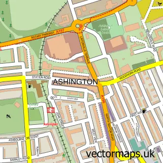
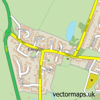
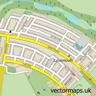
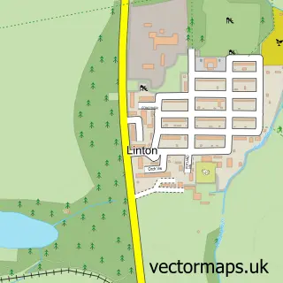
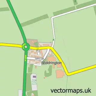
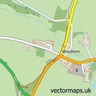
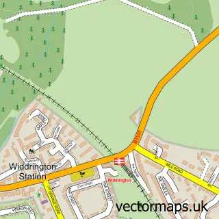
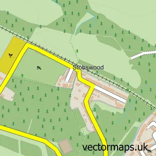
Nearby street map samples around Cresswell

More street maps in Northumberland
750 metre map area coverage
Boundary, postcode and point of interest information for the 750m x 750m rectangle centred on this sample map.
Boundaries containing map centre
Constituency: North Northumberland Co Const
District: Northumberland
Icb: NHS North East and North Cumbria ICB
Parish: Cresswell CP
Police Force: northumberland
Postcode District: NE61
Postcode Sector: NE61 5
Nearby boundaries intersecting sample
No additional intersecting boundaries found.
Postcode coverage
POI category counts
Hotel: 2
Anglican Church: 1
Beach: 1
Castle: 1
Church Cathedral: 1
Cottage: 1
Holiday Rental Home: 1
Ice Cream Shop: 1
Lounge: 1
Mobile Home Park: 1
Sample points of interest
- St Bartholomew Cresswell
- Broadsands Beach, Cresswell
- Cresswell Castle, Northumberland
- St Bartholomews Church
- Skears Cottage Cresswell
- Bank Top Cottage
- Aurora Skies
- Cresswell Towers Holiday Park
- Cresswell Ices
- The Clubhouse Cresswell Towers
- The CannyVan at Cresswell Towers
- Lynemouth Builders
Create a larger editable map of Cresswell
This sample shows only a 750 metre area. To create a larger map of Cresswell, use our map builder to choose your own coverage area, add titles and download editable SVG, PDF and PNG files.
Create a custom map of Cresswell