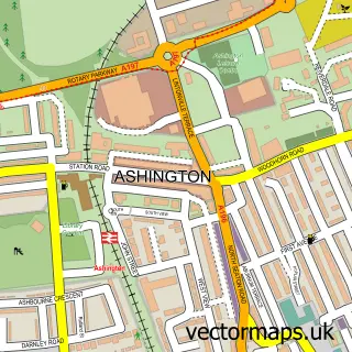
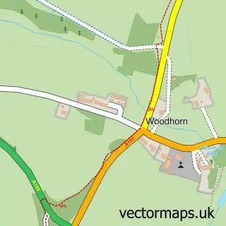
This Ellington street map is a detailed vector street map covering a 750m x 750m area. Select a larger area to create and download your own vector street map of Ellington.
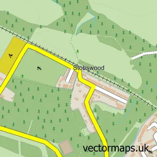
The 750-metre map sample for Ellington covers 250 mapped buildings and approximately 11.1 km of road detail, of which 17 named roads are named. The immediate area includes 2 pubs. The wider area around Ellington features 3 food and drink venues. To create a larger or custom map of Ellington, the map builder lets you define your own coverage area and download editable SVG, PDF and PNG files.
Create a larger editable map of Ellington
Choose any area you need and generate a high-quality vector map instantly. Perfect for print, planning, design, business and personal use.

This Ellington street map in Northumberland is available as downloadable SVG, PDF and PNG map files, or as a printed map for planning, business, display, education, local information and design work. You can also create a larger custom map area using the map selector.
What this Ellington map sample shows
Ellington lies within Ellington And Linton Cp parish, part of Lynemouth ward in the Northumberland local authority area. The postcode geography for this area includes the NE postcode area, the NE61 postcode district and the NE61 5 postcode sector. Residents fall under the Nhs North East And North Cumbria Integrated Care Board for NHS services.
Local features near Ellington
Within 2 milesAmenities and services in and around Ellington.
Administrative and postcode information for Ellington
Ellington lies within Ellington And Linton Cp parish, part of Lynemouth ward in the Northumberland local authority area. The postcode geography for this area includes the NE postcode area, the NE61 postcode district and the NE61 5 postcode sector. Residents fall under the Nhs North East And North Cumbria Integrated Care Board for NHS services.
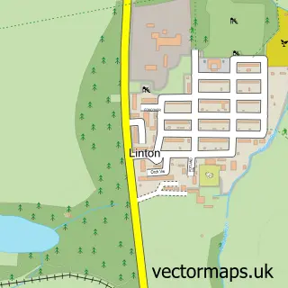
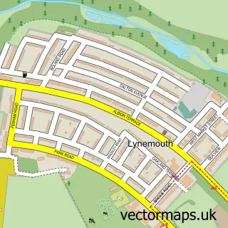
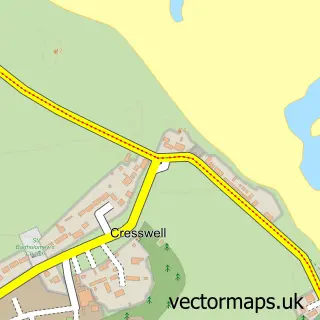
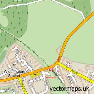
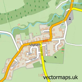
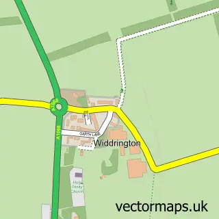
Nearby street map samples around Ellington

More street maps in Northumberland
750 metre map area coverage
Boundary, postcode and point of interest information for the 750m x 750m rectangle centred on this sample map.
Boundaries containing map centre
Constituency: North Northumberland Co Const
District: Northumberland
Icb: NHS North East and North Cumbria ICB
Parish: Ellington and Linton CP
Police Force: northumberland
Postcode District: NE61
Postcode Sector: NE61 5
Nearby boundaries intersecting sample
No additional intersecting boundaries found.
Postcode coverage
POI category counts
Convenience Store: 2
Pub: 2
Bakery: 1
Dog Walkers: 1
Event Planning: 1
Fish And Chips Restaurant: 1
Flowers And Gifts Shop: 1
Holiday Rental Home: 1
Home And Garden: 1
Mobile Home Dealer: 1
Sample points of interest
- The Cake Garden
- Bank Top Stores
- Premier Bank Top Stores
- The Doggy & Moggy Maid
- Ellington Village Hall
- Pegswood pizza village
- Personalised Silhouettes
- Waterside Cottage, Ellington, Northumberland
- Garden Plus House
- CT Caravans And Towbars
- Corporate Illusion Ltd.
- The Dog Garden
Create a larger editable map of Ellington
This sample shows only a 750 metre area. To create a larger map of Ellington, use our map builder to choose your own coverage area, add titles and download editable SVG, PDF and PNG files.
Create a custom map of Ellington