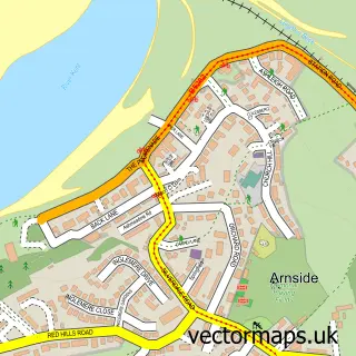
This Allithwaite street map is a detailed vector street map covering a 750m x 750m area. Select a larger area to create and download your own vector street map of Allithwaite.
The 750-metre map sample for Allithwaite covers 237 mapped buildings and approximately 9.5 km of road detail, of which 17 named roads are named. The immediate area includes 1 school, 2 GP surgeries within 2 miles and 3 MOT stations within 2 miles. The wider area around Allithwaite features 1 tourism point of interest and 1 campsite within 2 miles. To create a larger or custom map of Allithwaite, the map builder lets you define your own coverage area and download editable SVG, PDF and PNG files.
Create a larger editable map of Allithwaite
Choose any area you need and generate a high-quality vector map instantly. Perfect for print, planning, design, business and personal use.

This Allithwaite street map in Cumbria is available as downloadable SVG, PDF and PNG map files, or as a printed map for planning, business, display, education, local information and design work. You can also create a larger custom map area using the map selector.
What this Allithwaite map sample shows
Allithwaite lies within Lower Allithwaite Cp parish, part of Grange ward in the Westmorland And Furness local authority area. The postcode geography for this area includes the LA postcode area, the LA11 postcode district and the LA11 7 postcode sector. Residents fall under the Nhs Lancashire And South Cumbria Integrated Care Board for NHS services.
Local features near Allithwaite
Within 2 milesAmenities and services in and around Allithwaite.
Administrative and postcode information for Allithwaite
Allithwaite lies within Lower Allithwaite Cp parish, part of Grange ward in the Westmorland And Furness local authority area. The postcode geography for this area includes the LA postcode area, the LA11 postcode district and the LA11 7 postcode sector. Residents fall under the Nhs Lancashire And South Cumbria Integrated Care Board for NHS services.
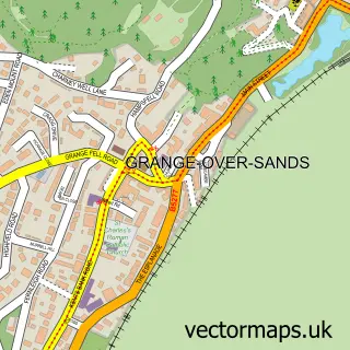
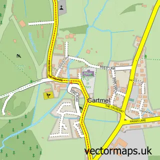
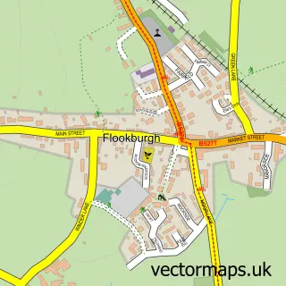
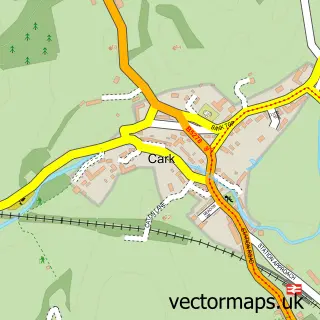
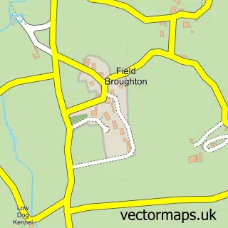
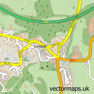
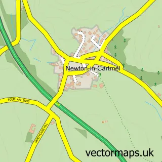
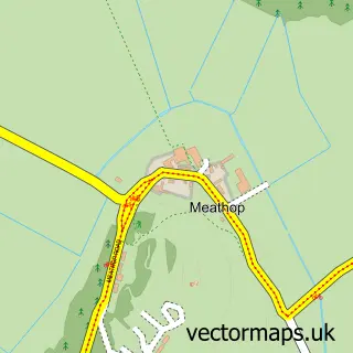
Nearby street map samples around Allithwaite

More street maps in Cumbria
750 metre map area coverage
Boundary, postcode and point of interest information for the 750m x 750m rectangle centred on this sample map.
Boundaries containing map centre
Constituency: Westmorland and Lonsdale Co Const
District: Westmorland and Furness
Icb: NHS Lancashire and South Cumbria ICB
Parish: Lower Allithwaite CP
Police Force: cumbria
Postcode District: LA11
Postcode Sector: LA11 7
Ward: Grange and Cartmel Ward
Nearby boundaries intersecting sample
No additional intersecting boundaries found.
Postcode coverage
POI category counts
Anglican Church: 1
Automotive Repair: 1
Building Supply Store: 1
Church Cathedral: 1
Convenience Store: 1
Elementary School: 1
Home Service: 1
Naturopathic Holistic: 1
Park: 1
Playground: 1
Sample points of interest
- St Mary's Church
- R P Services
- PW Gas Services
- St Mary's Church
- Premier Cockles at the Lantern
- Allithwaite CE School, Church Rd, Allithwaite
- Allithwaite Childminding
- Angela Pollard Therapies and Training
- Allithwaite Park King George V Jubillee
- Allithwaite Playgound
- Allithwaite Post Office
- The Old Vicarage
Create a larger editable map of Allithwaite
This sample shows only a 750 metre area. To create a larger map of Allithwaite, use our map builder to choose your own coverage area, add titles and download editable SVG, PDF and PNG files.
Create a custom map of Allithwaite