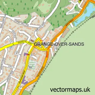
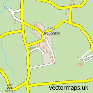
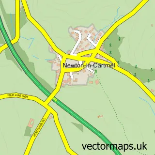
This Cark street map is a detailed vector street map covering a 750m x 750m area. Select a larger area to create and download your own vector street map of Cark.
The 750-metre map sample for Cark covers 127 mapped buildings and approximately 8.8 km of road detail, of which 6 named roads are named. The immediate area includes 1 railway station, 1 GP surgery within 2 miles, 3 pubs and 1 MOT station within 2 miles. The wider area around Cark features 3 food and drink venues and 1 campsite within 2 miles. To create a larger or custom map of Cark, the map builder lets you define your own coverage area and download editable SVG, PDF and PNG files.
Create a larger editable map of Cark
Choose any area you need and generate a high-quality vector map instantly. Perfect for print, planning, design, business and personal use.

This Cark street map in Cumbria is available as downloadable SVG, PDF and PNG map files, or as a printed map for planning, business, display, education, local information and design work. You can also create a larger custom map area using the map selector.
What this Cark map sample shows
Cark lies within Lower Holker Cp parish, part of Cartmel ward in the Westmorland And Furness local authority area. The postcode geography for this area includes the LA postcode area, the LA11 postcode district and the LA11 7 postcode sector. Residents fall under the Nhs Lancashire And South Cumbria Integrated Care Board for NHS services.
Local features near Cark
Within 2 milesAmenities and services in and around Cark.
Administrative and postcode information for Cark
The local authority covering Cark is Westmorland And Furness, within the county of Cumbria. The settlement lies within Cartmel ward and Lower Holker Cp civil parish. The LA11 postcode district and LA11 7 postcode sector serve the immediate area. NHS provision in the area is delivered through University Hospitals Of Morecambe Bay Nhs Foundation Trust.
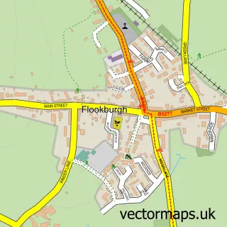
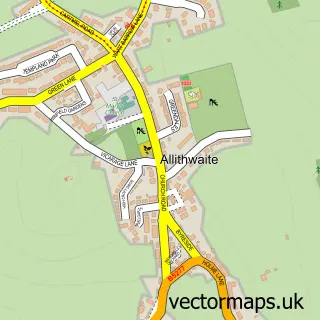
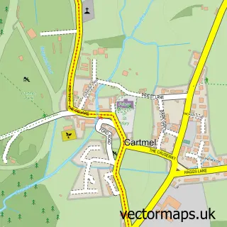
Nearby street map samples around Cark

More street maps in Cumbria
750 metre map area coverage
Boundary, postcode and point of interest information for the 750m x 750m rectangle centred on this sample map.
Boundaries containing map centre
Constituency: Westmorland and Lonsdale Co Const
District: Westmorland and Furness
Icb: NHS Lancashire and South Cumbria ICB
Parish: Lower Holker CP
Police Force: cumbria
Postcode District: LA11
Postcode Sector: LA11 7
Ward: Grange and Cartmel Ward
Nearby boundaries intersecting sample
No additional intersecting boundaries found.
Postcode coverage
POI category counts
Beauty Salon: 3
Convenience Store: 3
Pub: 3
Bed And Breakfast: 2
Accommodation: 1
Arts And Entertainment: 1
Building Contractor: 1
Community Center: 1
Cottage: 1
Counseling And Mental Health: 1
Sample points of interest
- Cark Manor
- Lower Holker Village Hall
- Bobs Hair & Beauty
- Nails By Rosie
- Robyn Watson Hair
- Eeabank Lodge
- Eeabank Lodge
- Refurb Windows & Doors
- Lower Holker Village Hall
- Cark Village Shop
- Londis
- The Cabin of Cark
Create a larger editable map of Cark
This sample shows only a 750 metre area. To create a larger map of Cark, use our map builder to choose your own coverage area, add titles and download editable SVG, PDF and PNG files.
Create a custom map of Cark