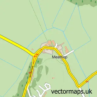
This Cartmel street map is a detailed vector street map covering a 750m x 750m area. Select a larger area to create and download your own vector street map of Cartmel.
The 750-metre map sample for Cartmel covers 156 mapped buildings and approximately 8.3 km of road detail, of which 10 named roads are named. The immediate area includes 1 primary school and 1 secondary school, 2 GP surgeries within 2 miles and 4 pubs. The wider area around Cartmel features 3 tourism points of interest, 8 food and drink venues and 6 hotels. To create a larger or custom map of Cartmel, the map builder lets you define your own coverage area and download editable SVG, PDF and PNG files.
Create a larger editable map of Cartmel
Choose any area you need and generate a high-quality vector map instantly. Perfect for print, planning, design, business and personal use.

This Cartmel street map in Cumbria is available as downloadable SVG, PDF and PNG map files, or as a printed map for planning, business, display, education, local information and design work. You can also create a larger custom map area using the map selector.
What this Cartmel map sample shows
Cartmel lies within Lower Allithwaite Cp parish, part of Cartmel ward in the Westmorland And Furness local authority area. The postcode geography for this area includes the LA postcode area, the LA11 postcode district and the LA11 6 postcode sector. Residents fall under the Nhs Lancashire And South Cumbria Integrated Care Board for NHS services.
Local features near Cartmel
Within 2 milesAmenities and services in and around Cartmel.
Administrative and postcode information for Cartmel
The local authority covering Cartmel is Westmorland And Furness, within the county of Cumbria. The settlement lies within Cartmel ward and Lower Allithwaite Cp civil parish. The LA11 postcode district and LA11 6 postcode sector serve the immediate area. NHS provision in the area is delivered through University Hospitals Of Morecambe Bay Nhs Foundation Trust.
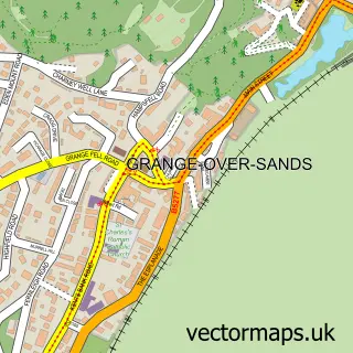
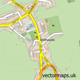
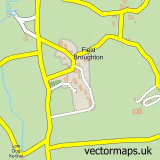
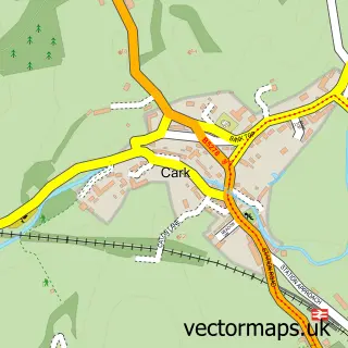
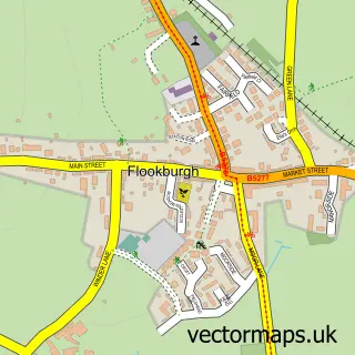
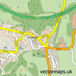
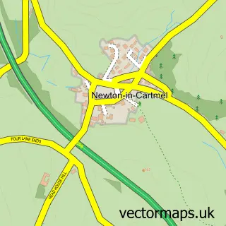
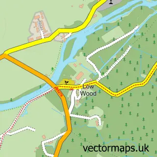
Nearby street map samples around Cartmel

More street maps in Cumbria
750 metre map area coverage
Boundary, postcode and point of interest information for the 750m x 750m rectangle centred on this sample map.
Boundaries containing map centre
Constituency: Westmorland and Lonsdale Co Const
District: Westmorland and Furness
Icb: NHS Lancashire and South Cumbria ICB
Parish: Lower Allithwaite CP
Police Force: cumbria
Postcode District: LA11
Postcode Sector: LA11 6
Ward: Grange and Cartmel Ward
Nearby boundaries intersecting sample
Postcode Sector: LA11 7
Postcode coverage
POI category counts
Hotel: 6
Antique Store: 4
Bed And Breakfast: 4
Holiday Rental Home: 4
Lodge: 4
Pub: 4
Flowers And Gifts Shop: 3
Restaurant: 3
Beauty Salon: 2
British Restaurant: 2
Sample points of interest
- The Cartmel Loft
- Black Horses Friesians
- Smiling Senses
- Cartmel Antiques
- Cartmel Antiques Fair
- Cartmel Village Vintage
- Wrs Architectural Antiques Ltd.
- COW architecture
- Park Lane Cartmel
- The Beauty Room
- Cartmel Square
- Coffee & Stays at Cartmel Square
Create a larger editable map of Cartmel
This sample shows only a 750 metre area. To create a larger map of Cartmel, use our map builder to choose your own coverage area, add titles and download editable SVG, PDF and PNG files.
Create a custom map of Cartmel