This Flookburgh street map is a detailed vector street map covering a 750m x 750m area. Select a larger area to create and download your own vector street map of Flookburgh.
The 750-metre map sample for Flookburgh covers 269 mapped buildings and approximately 12.5 km of road detail, of which 17 named roads are named. The immediate area includes 1 school, 1 pub and 1 MOT station within 2 miles. The wider area around Flookburgh features 1 tourism point of interest, 2 food and drink venues and 1 hotel. To create a larger or custom map of Flookburgh, the map builder lets you define your own coverage area and download editable SVG, PDF and PNG files.
Create a larger editable map of Flookburgh
Choose any area you need and generate a high-quality vector map instantly. Perfect for print, planning, design, business and personal use.

This Flookburgh street map in Cumbria is available as downloadable SVG, PDF and PNG map files, or as a printed map for planning, business, display, education, local information and design work. You can also create a larger custom map area using the map selector.
What this Flookburgh map sample shows
Flookburgh lies within Lower Holker Cp parish, part of Cartmel ward in the Westmorland And Furness local authority area. The postcode geography for this area includes the LA postcode area, the LA11 postcode district and the LA11 7 postcode sector. Residents fall under the Nhs Lancashire And South Cumbria Integrated Care Board for NHS services.
Local features near Flookburgh
Within 2 milesAmenities and services in and around Flookburgh.
Administrative and postcode information for Flookburgh
Flookburgh lies within Lower Holker Cp parish, part of Cartmel ward in the Westmorland And Furness local authority area. The postcode geography for this area includes the LA postcode area, the LA11 postcode district and the LA11 7 postcode sector. Residents fall under the Nhs Lancashire And South Cumbria Integrated Care Board for NHS services.
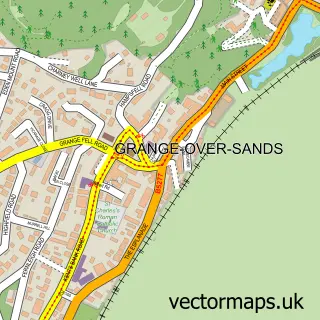
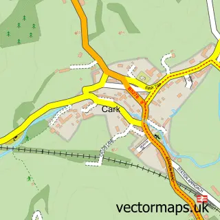
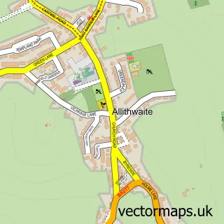
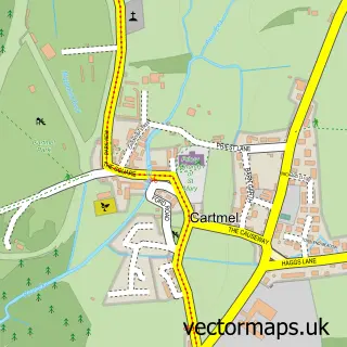
Nearby street map samples around Flookburgh

More street maps in Cumbria
750 metre map area coverage
Boundary, postcode and point of interest information for the 750m x 750m rectangle centred on this sample map.
Boundaries containing map centre
Constituency: Westmorland and Lonsdale Co Const
District: Westmorland and Furness
Icb: NHS Lancashire and South Cumbria ICB
Parish: Lower Holker CP
Police Force: cumbria
Postcode District: LA11
Postcode Sector: LA11 7
Ward: Grange and Cartmel Ward
Nearby boundaries intersecting sample
No additional intersecting boundaries found.
Postcode coverage
POI category counts
Convenience Store: 4
Korean Grocery Store: 3
Anglican Church: 2
Assisted Living Facility: 1
Bank Credit Union: 1
Beauty Salon: 1
Butcher Shop: 1
Construction Services: 1
Cottage: 1
Currency Exchange: 1
Sample points of interest
- St John the Baptist Church
- St John's Flookburgh
- Bridge House
- NatWest
- Main St Salon
- Paul Butchers
- Accubuild Construction
- Cockles
- Cockles Convenience Store | Flookburgh
- Premier
- Premier Cockles Convenience Store
- Hillrise Cottage
Create a larger editable map of Flookburgh
This sample shows only a 750 metre area. To create a larger map of Flookburgh, use our map builder to choose your own coverage area, add titles and download editable SVG, PDF and PNG files.
Create a custom map of Flookburgh