This Grange-over-Sands street map is a detailed vector street map covering a 750m x 750m area. Select a larger area to create and download your own vector street map of Grange-over-Sands.
The 750-metre map sample for Grange-over-Sands covers 242 mapped buildings and approximately 13.9 km of road detail, of which 24 named roads are named. The immediate area includes 1 school, 2 GP surgeries within 2 miles, 4 pubs and 4 MOT stations within 2 miles. The wider area around Grange-over-Sands features 3 tourism points of interest, 13 food and drink venues and 5 hotels. To create a larger or custom map of Grange-over-Sands, the map builder lets you define your own coverage area and download editable SVG, PDF and PNG files.
Create a larger editable map of Grange-over-Sands
Choose any area you need and generate a high-quality vector map instantly. Perfect for print, planning, design, business and personal use.

This Grange-over-Sands street map in Cumbria is available as downloadable SVG, PDF and PNG map files, or as a printed map for planning, business, display, education, local information and design work. You can also create a larger custom map area using the map selector.
What this Grange-over-Sands map sample shows
Grange-over-Sands lies within Grange-Over-Sands Cp parish, part of Grange ward in the Westmorland And Furness local authority area. The postcode geography for this area includes the LA postcode area, the LA11 postcode district and the LA11 6 postcode sector. Residents fall under the Nhs Lancashire And South Cumbria Integrated Care Board for NHS services.
Local features near Grange-over-Sands
Within 2 milesAmenities and services in and around Grange-over-Sands.
Administrative and postcode information for Grange-over-Sands
Grange-over-Sands lies within Grange-Over-Sands Cp parish, part of Grange ward in the Westmorland And Furness local authority area. The postcode geography for this area includes the LA postcode area, the LA11 postcode district and the LA11 6 postcode sector. Residents fall under the Nhs Lancashire And South Cumbria Integrated Care Board for NHS services.
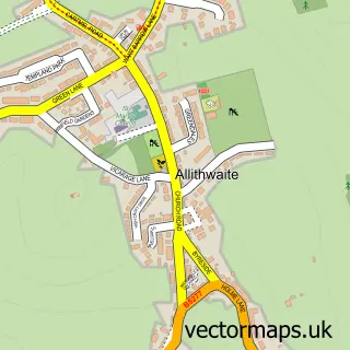
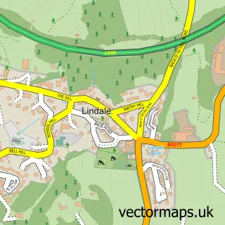
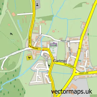
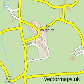
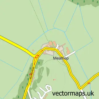
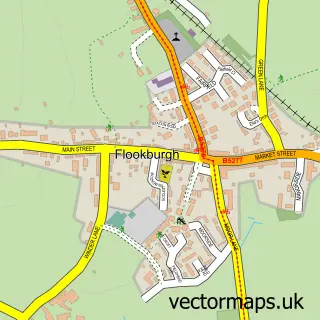
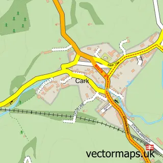
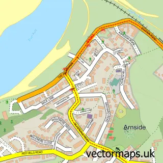
Nearby street map samples around Grange-over-Sands

More street maps in Cumbria
750 metre map area coverage
Boundary, postcode and point of interest information for the 750m x 750m rectangle centred on this sample map.
Boundaries containing map centre
Constituency: Westmorland and Lonsdale Co Const
District: Westmorland and Furness
Icb: NHS Lancashire and South Cumbria ICB
Parish: Grange-Over-Sands CP
Police Force: cumbria
Postcode District: LA11
Postcode Sector: LA11 6
Ward: Grange and Cartmel Ward
Nearby boundaries intersecting sample
Postcode Sector: LA11 7
Postcode coverage
POI category counts
Beauty Salon: 7
Hotel: 5
Real Estate Agent: 5
Cafe: 4
Church Cathedral: 4
Community Services Non Profits: 4
Convenience Store: 4
Hair Salon: 4
Pub: 4
Bank Credit Union: 3
Sample points of interest
- BFMS Accountants
- St Paul's, Grange-over-Sands
- St Mary's Hospice Shop
- Robinsons Electric Grange
- Westerley Mutual Aid Home
- St John's Hearing Aid Centre - Cumbria
- Grange Bakery
- Barclays Bank
- Furness Building Society
- Lloyds Bank
- HSBC Bank
- Lloyds Bank
Create a larger editable map of Grange-over-Sands
This sample shows only a 750 metre area. To create a larger map of Grange-over-Sands, use our map builder to choose your own coverage area, add titles and download editable SVG, PDF and PNG files.
Create a custom map of Grange-over-Sands