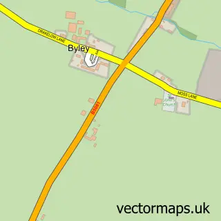
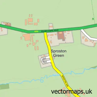
This Allostock street map is a detailed vector street map covering a 750m x 750m area. Select a larger area to create and download your own vector street map of Allostock.
The 750-metre map sample for Allostock covers 100 mapped buildings and approximately 8.3 km of road detail, of which 4 named roads are named. The immediate area includes 2 MOT stations within 2 miles. The wider area around Allostock features 1 tourism point of interest and 1 hotel. To create a larger or custom map of Allostock, the map builder lets you define your own coverage area and download editable SVG, PDF and PNG files.
Create a larger editable map of Allostock
Choose any area you need and generate a high-quality vector map instantly. Perfect for print, planning, design, business and personal use.

This Allostock street map in Cheshire is available as downloadable SVG, PDF and PNG map files, or as a printed map for planning, business, display, education, local information and design work. You can also create a larger custom map area using the map selector.
What this Allostock map sample shows
Allostock lies within Allostock Cp parish, part of Shakerley ward in the Cheshire West And Chester (B) local authority area. The postcode geography for this area includes the WA postcode area, the WA16 postcode district and the WA16 9 postcode sector. Residents fall under the Nhs Cheshire And Merseyside Integrated Care Board for NHS services.
Local features near Allostock
Within 2 milesAmenities and services in and around Allostock.
Administrative and postcode information for Allostock
Allostock lies within Allostock Cp parish, part of Shakerley ward in the Cheshire West And Chester (B) local authority area. The postcode geography for this area includes the WA postcode area, the WA16 postcode district and the WA16 9 postcode sector. Residents fall under the Nhs Cheshire And Merseyside Integrated Care Board for NHS services.
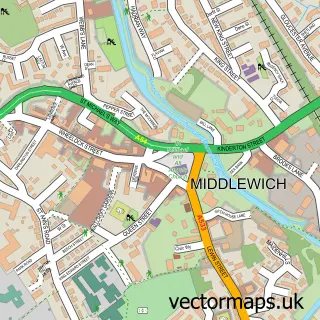
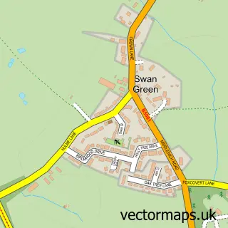
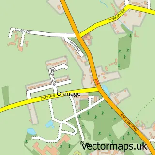
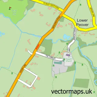
Nearby street map samples around Allostock

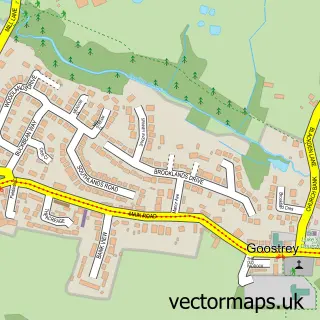
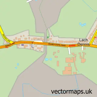
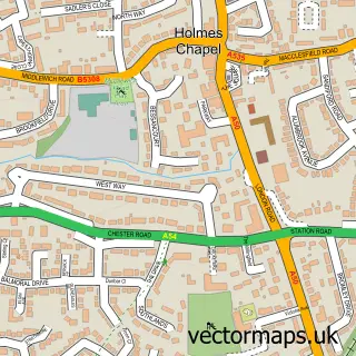
More street maps in Cheshire
750 metre map area coverage
Boundary, postcode and point of interest information for the 750m x 750m rectangle centred on this sample map.
Boundaries containing map centre
Constituency: Tatton Co Const
District: Cheshire West and Chester (B)
Icb: NHS Cheshire and Merseyside ICB
Parish: Allostock CP
Police Force: cheshire
Postcode District: WA16
Postcode Sector: WA16 9
Ward: Shakerley Ward
Nearby boundaries intersecting sample
Postcode District: CW4
Postcode Sector: CW4 8
Postcode coverage
POI category counts
Building Supply Store: 2
Antique Store: 1
Appliance Manufacturer: 1
Automotive Repair: 1
Beverage Store: 1
Community Center: 1
Farm: 1
Graphic Designer: 1
Hotel: 1
Park: 1
Sample points of interest
- London ROAD BARN
- Garnett Farms Engineering
- Trevor Farrington
- Black Dog Wine Agency Ltd.
- T T G S Home & Garden
- TTG S
- Allostock Village Hall
- Wash Lane Farm
- Soterios Design & Print
- The Cottage
- Woodlands Park
- Inkjet & Printing Supplies
Create a larger editable map of Allostock
This sample shows only a 750 metre area. To create a larger map of Allostock, use our map builder to choose your own coverage area, add titles and download editable SVG, PDF and PNG files.
Create a custom map of Allostock