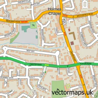
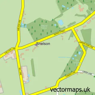
This Goostrey street map is a detailed vector street map covering a 750m x 750m area. Select a larger area to create and download your own vector street map of Goostrey.
The 750-metre map sample for Goostrey covers 317 mapped buildings and approximately 9.9 km of road detail, of which 19 named roads are named. The immediate area includes 1 school, 1 pub and 2 MOT stations within 2 miles. The wider area around Goostrey features 1 food and drink venue. To create a larger or custom map of Goostrey, the map builder lets you define your own coverage area and download editable SVG, PDF and PNG files.
Create a larger editable map of Goostrey
Choose any area you need and generate a high-quality vector map instantly. Perfect for print, planning, design, business and personal use.

This Goostrey street map in Cheshire is available as downloadable SVG, PDF and PNG map files, or as a printed map for planning, business, display, education, local information and design work. You can also create a larger custom map area using the map selector.
What this Goostrey map sample shows
Goostrey lies within Goostrey Cp parish, part of Dane Valley ward in the Cheshire East (B) local authority area. The postcode geography for this area includes the CW postcode area, the CW4 postcode district and the CW4 8 postcode sector. Residents fall under the Nhs Cheshire And Merseyside Integrated Care Board for NHS services.
Local features near Goostrey
Within 2 milesAmenities and services in and around Goostrey.
Administrative and postcode information for Goostrey
The local authority covering Goostrey is Cheshire East (B), within the county of Cheshire. The settlement lies within Dane Valley ward and Goostrey Cp civil parish. The CW4 postcode district and CW4 8 postcode sector serve the immediate area. NHS provision in the area is delivered through East Cheshire Nhs Trust.
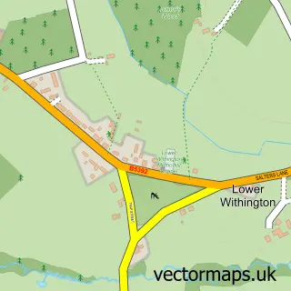
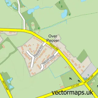
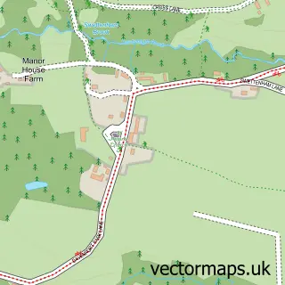
Nearby street map samples around Goostrey
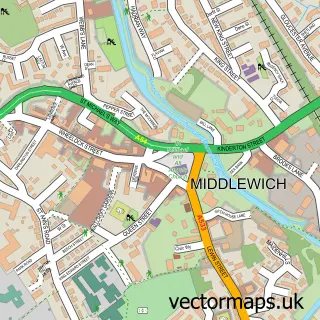

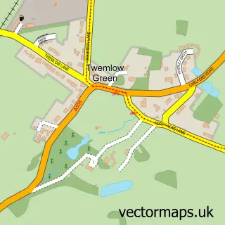
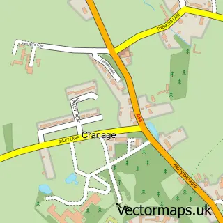
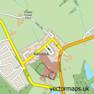
More street maps in Cheshire
750 metre map area coverage
Boundary, postcode and point of interest information for the 750m x 750m rectangle centred on this sample map.
Boundaries containing map centre
Constituency: Congleton Co Const
District: Cheshire East (B)
Icb: NHS Cheshire and Merseyside ICB
Parish: Goostrey CP
Police Force: cheshire
Postcode District: CW4
Postcode Sector: CW4 8
Ward: Dane Valley Ward
Nearby boundaries intersecting sample
No additional intersecting boundaries found.
Postcode coverage
POI category counts
Beauty Salon: 2
Church Cathedral: 2
Korean Grocery Store: 2
Naturopathic Holistic: 2
Alternative Medicine: 1
Anglican Church: 1
Architect: 1
Automotive Services And Repair: 1
Bakery: 1
Barber: 1
Sample points of interest
- Caroline Fallon Therapies
- St Luke's Goostrey
- Peter Davis
- Karori Solutions
- Pastimes of Goostrey
- DENIZ Turkish barber goostrey
- Salon 165
- Vivre Aesthetics & Laser Clinic
- RSVP
- Alan Bason Associates
- Goostrey Methodist Church
- St Luke's Church
Create a larger editable map of Goostrey
This sample shows only a 750 metre area. To create a larger map of Goostrey, use our map builder to choose your own coverage area, add titles and download editable SVG, PDF and PNG files.
Create a custom map of Goostrey