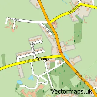
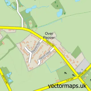
This Twemlow Green street map is a detailed vector street map covering a 750m x 750m area. Select a larger area to create and download your own vector street map of Twemlow Green.
The 750-metre map sample for Twemlow Green covers 100 mapped buildings and approximately 13.6 km of road detail, of which 5 named roads are named. The immediate area includes 1 GP surgery within 2 miles and 2 MOT stations within 2 miles. The wider area around Twemlow Green features 1 tourism point of interest and 1 food and drink venue. To create a larger or custom map of Twemlow Green, the map builder lets you define your own coverage area and download editable SVG, PDF and PNG files.
Create a larger editable map of Twemlow Green
Choose any area you need and generate a high-quality vector map instantly. Perfect for print, planning, design, business and personal use.

This Twemlow Green street map in Cheshire is available as downloadable SVG, PDF and PNG map files, or as a printed map for planning, business, display, education, local information and design work. You can also create a larger custom map area using the map selector.
What this Twemlow Green map sample shows
Twemlow Green lies within Twemlow Cp parish, part of Dane Valley ward in the Cheshire East (B) local authority area. The postcode geography for this area includes the CW postcode area, the CW4 postcode district and the CW4 8 postcode sector. Residents fall under the Nhs Cheshire And Merseyside Integrated Care Board for NHS services.
Local features near Twemlow Green
Within 2 milesAmenities and services in and around Twemlow Green.
Administrative and postcode information for Twemlow Green
Twemlow Green lies within Twemlow Cp parish, part of Dane Valley ward in the Cheshire East (B) local authority area. The postcode geography for this area includes the CW postcode area, the CW4 postcode district and the CW4 8 postcode sector. Residents fall under the Nhs Cheshire And Merseyside Integrated Care Board for NHS services.
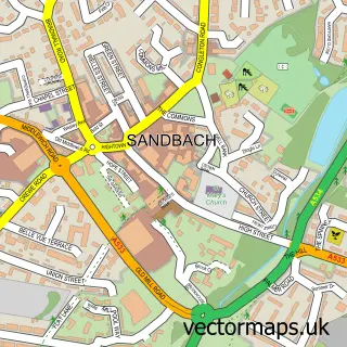
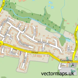
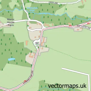
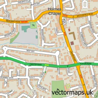
Nearby street map samples around Twemlow Green

More street maps in Cheshire
750 metre map area coverage
Boundary, postcode and point of interest information for the 750m x 750m rectangle centred on this sample map.
Boundaries containing map centre
Constituency: Congleton Co Const
District: Cheshire East (B)
Icb: NHS Cheshire and Merseyside ICB
Parish: Twemlow CP
Police Force: cheshire
Postcode District: CW4
Postcode Sector: CW4 8
Ward: Dane Valley Ward
Nearby boundaries intersecting sample
No additional intersecting boundaries found.
Postcode coverage
POI category counts
Bistro: 1
Contractor: 1
Engineering Services: 1
Ev Charging Station: 1
Financial Advising: 1
Home Decor: 1
Landmark And Historical Building: 1
Restaurant: 1
Sample points of interest
- The Yellow Broom Restaurant
- Cedar and Oak
- Pragmatic Maintenance & Reliability Ltd.
- The Old Fuel Depot
- Dane Valley Financial Services
- Design Central UK
- Twemlow Hall
- Yellow Broom Restaurant
Create a larger editable map of Twemlow Green
This sample shows only a 750 metre area. To create a larger map of Twemlow Green, use our map builder to choose your own coverage area, add titles and download editable SVG, PDF and PNG files.
Create a custom map of Twemlow Green