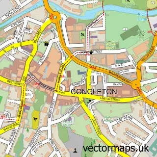
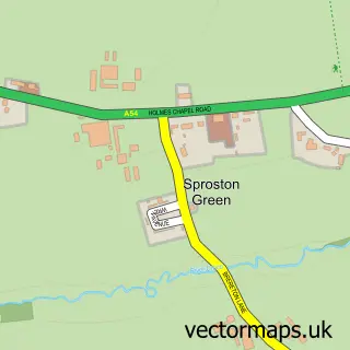
This Swettenham street map is a detailed vector street map covering a 750m x 750m area. Select a larger area to create and download your own vector street map of Swettenham.
The 750-metre map sample for Swettenham covers 36 mapped buildings and approximately 7.5 km of road detail, of which 4 named roads are named. The immediate area includes 3 pubs. The wider area around Swettenham features 1 tourism point of interest and 3 food and drink venues. To create a larger or custom map of Swettenham, the map builder lets you define your own coverage area and download editable SVG, PDF and PNG files.
Create a larger editable map of Swettenham
Choose any area you need and generate a high-quality vector map instantly. Perfect for print, planning, design, business and personal use.

This Swettenham street map in Cheshire is available as downloadable SVG, PDF and PNG map files, or as a printed map for planning, business, display, education, local information and design work. You can also create a larger custom map area using the map selector.
What this Swettenham map sample shows
Swettenham lies within Swettenham Cp parish, part of Brereton Rural ward in the Cheshire East (B) local authority area. The postcode geography for this area includes the CW postcode area, the CW12 postcode district and the CW12 2 postcode sector. Residents fall under the Nhs Cheshire And Merseyside Integrated Care Board for NHS services.
Local features near Swettenham
Within 2 milesAmenities and services in and around Swettenham.
Administrative and postcode information for Swettenham
The local authority covering Swettenham is Cheshire East (B), within the county of Cheshire. The settlement lies within Brereton Rural ward and Swettenham Cp civil parish. The CW12 postcode district and CW12 2 postcode sector serve the immediate area. NHS provision in the area is delivered through East Cheshire Nhs Trust.
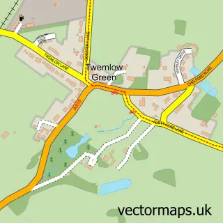
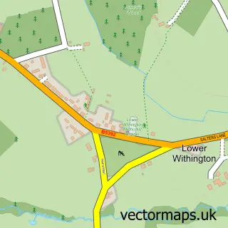
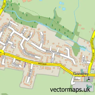
Nearby street map samples around Swettenham

More street maps in Cheshire
750 metre map area coverage
Boundary, postcode and point of interest information for the 750m x 750m rectangle centred on this sample map.
Boundaries containing map centre
Constituency: Congleton Co Const
District: Cheshire East (B)
Icb: NHS Cheshire and Merseyside ICB
Parish: Swettenham CP
Police Force: cheshire
Postcode District: CW12
Postcode Sector: CW12 2
Ward: Brereton Rural Ward
Nearby boundaries intersecting sample
No additional intersecting boundaries found.
Postcode coverage
POI category counts
Pub: 3
Church Cathedral: 1
Nature Reserve: 1
Park: 1
Pet Groomer: 1
Printing Services: 1
Sample points of interest
- St Peter's Church
- Swettenham Meadows Nature Reserve
- The Lovell Quinta Arboretum
- Loveable Paws
- DRUE Dobermann Rescue Registered Charity 1169697
- Swettenham Arms
- The Swettenham Arms
- The Swettenham Arms
Create a larger editable map of Swettenham
This sample shows only a 750 metre area. To create a larger map of Swettenham, use our map builder to choose your own coverage area, add titles and download editable SVG, PDF and PNG files.
Create a custom map of Swettenham