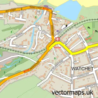
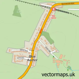
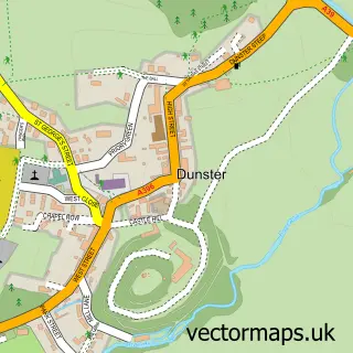
This Bilbrook street map is a detailed vector street map covering a 750m x 750m area. Select a larger area to create and download your own vector street map of Bilbrook.
The 750-metre map sample for Bilbrook covers 69 mapped buildings and approximately 4.4 km of road detail, of which 1 named road are named. The immediate area includes 1 MOT station, with 2 within 2 miles. The wider area around Bilbrook features 1 tourism point of interest. To create a larger or custom map of Bilbrook, the map builder lets you define your own coverage area and download editable SVG, PDF and PNG files.
Create a larger editable map of Bilbrook
Choose any area you need and generate a high-quality vector map instantly. Perfect for print, planning, design, business and personal use.

This Bilbrook street map in Somerset is available as downloadable SVG, PDF and PNG map files, or as a printed map for planning, business, display, education, local information and design work. You can also create a larger custom map area using the map selector.
What this Bilbrook map sample shows
Bilbrook lies within Old Cleeve Cp parish, part of Old Cleeve & District ward in the Somerset local authority area. The postcode geography for this area includes the TA postcode area, the TA24 postcode district and the TA24 6 postcode sector. Residents fall under the Nhs Somerset Integrated Care Board for NHS services.
Local features near Bilbrook
Within 2 milesAmenities and services in and around Bilbrook.
Administrative and postcode information for Bilbrook
Bilbrook lies within Old Cleeve Cp parish, part of Old Cleeve & District ward in the Somerset local authority area. The postcode geography for this area includes the TA postcode area, the TA24 postcode district and the TA24 6 postcode sector. Residents fall under the Nhs Somerset Integrated Care Board for NHS services.
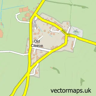
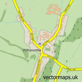
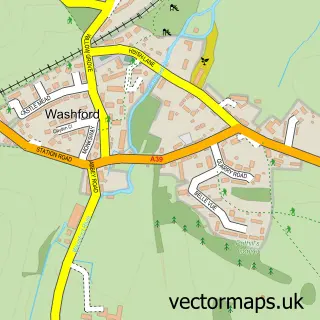
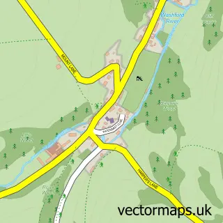
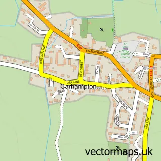
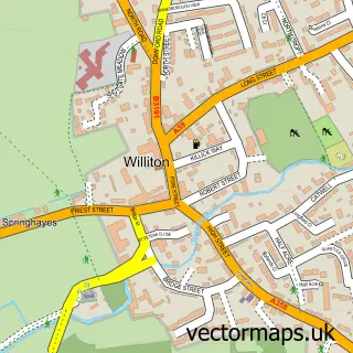
Nearby street map samples around Bilbrook

More street maps in Somerset
750 metre map area coverage
Boundary, postcode and point of interest information for the 750m x 750m rectangle centred on this sample map.
Boundaries containing map centre
Constituency: Tiverton and Minehead Co Const
District: Somerset
Icb: NHS Somerset ICB
Parish: Old Cleeve CP
Police Force: avon and somerset
Postcode District: TA24
Postcode Sector: TA24 6
Nearby boundaries intersecting sample
Parish: Withycombe CP
Postcode coverage
POI category counts
Bed And Breakfast: 2
Auto Body Shop: 1
Contractor: 1
Landmark And Historical Building: 1
Roofing: 1
Sample points of interest
- Bilbrook Garage
- Steps Farmhouse
- The Wayside B & B
- CMD Plumbing & Heating
- Bilbrook, Somerset
- Chapel Roofing and Building Services Limited
Create a larger editable map of Bilbrook
This sample shows only a 750 metre area. To create a larger map of Bilbrook, use our map builder to choose your own coverage area, add titles and download editable SVG, PDF and PNG files.
Create a custom map of Bilbrook