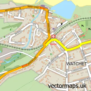
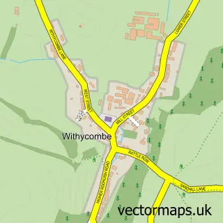
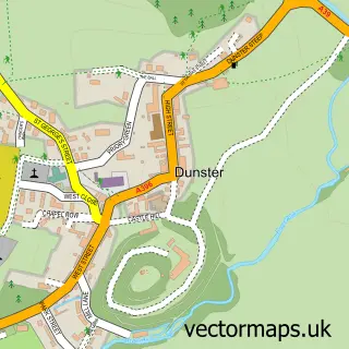
This Old Cleeve street map is a detailed vector street map covering a 750m x 750m area. Select a larger area to create and download your own vector street map of Old Cleeve.
The 750-metre map sample for Old Cleeve covers 103 mapped buildings and approximately 10.9 km of road detail, of which 2 named roads are named. The immediate area includes 2 MOT stations within 2 miles. The wider area around Old Cleeve features 1 tourism point of interest and 1 hotel. To create a larger or custom map of Old Cleeve, the map builder lets you define your own coverage area and download editable SVG, PDF and PNG files.
Create a larger editable map of Old Cleeve
Choose any area you need and generate a high-quality vector map instantly. Perfect for print, planning, design, business and personal use.

This Old Cleeve street map in Somerset is available as downloadable SVG, PDF and PNG map files, or as a printed map for planning, business, display, education, local information and design work. You can also create a larger custom map area using the map selector.
What this Old Cleeve map sample shows
Old Cleeve lies within Old Cleeve Cp parish, part of Old Cleeve & District ward in the Somerset local authority area. The postcode geography for this area includes the TA postcode area, the TA24 postcode district and the TA24 6 postcode sector. Residents fall under the Nhs Somerset Integrated Care Board for NHS services.
Local features near Old Cleeve
Within 2 milesAmenities and services in and around Old Cleeve.
Administrative and postcode information for Old Cleeve
The local authority covering Old Cleeve is Somerset, within the county of Somerset. The settlement lies within Old Cleeve & District ward and Old Cleeve Cp civil parish. The TA24 postcode district and TA24 6 postcode sector serve the immediate area. NHS provision in the area is delivered through Somerset Nhs Foundation Trust.
Nearby street map samples around Old Cleeve

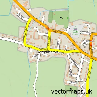
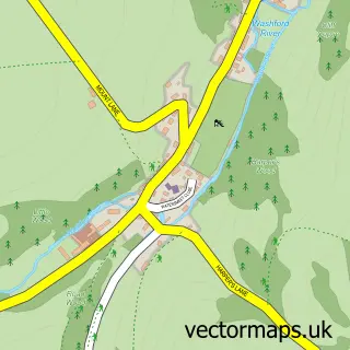
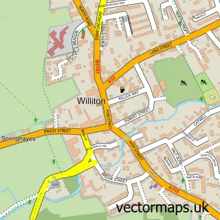
More street maps in Somerset
750 metre map area coverage
Boundary, postcode and point of interest information for the 750m x 750m rectangle centred on this sample map.
Boundaries containing map centre
Constituency: Tiverton and Minehead Co Const
District: Somerset
Icb: NHS Somerset ICB
Parish: Old Cleeve CP
Police Force: avon and somerset
Postcode District: TA24
Postcode Sector: TA24 6
Nearby boundaries intersecting sample
No additional intersecting boundaries found.
Postcode coverage
POI category counts
Bed And Breakfast: 2
Audio Visual Equipment Store: 1
Beauty Salon: 1
Caterer: 1
Church Cathedral: 1
Hotel: 1
Landmark And Historical Building: 1
Music Production: 1
Sample points of interest
- Sounds With Vision Ltd
- Beuniquesalonsomerset
- Cedar House
- Cedar House
- Lysaght Village Hall & Club
- St Andrew's Church
- Blueberry Cottage
- Old Cleeve
- Hive Recording Studio
Create a larger editable map of Old Cleeve
This sample shows only a 750 metre area. To create a larger map of Old Cleeve, use our map builder to choose your own coverage area, add titles and download editable SVG, PDF and PNG files.
Create a custom map of Old Cleeve