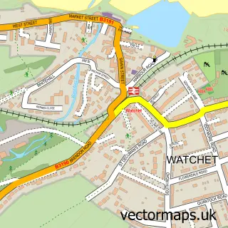
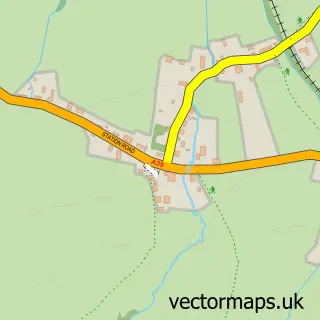
This Williton street map is a detailed vector street map covering a 750m x 750m area. Select a larger area to create and download your own vector street map of Williton.
The 750-metre map sample for Williton covers 373 mapped buildings and approximately 14.0 km of road detail, of which 32 named roads are named. The immediate area includes 1 GP surgery, 2 pubs and 1 MOT station, with 4 within 2 miles. The wider area around Williton features 5 food and drink venues, 1 hotel and 1 campsite within 2 miles. To create a larger or custom map of Williton, the map builder lets you define your own coverage area and download editable SVG, PDF and PNG files.
Create a larger editable map of Williton
Choose any area you need and generate a high-quality vector map instantly. Perfect for print, planning, design, business and personal use.

This Williton street map in Somerset is available as downloadable SVG, PDF and PNG map files, or as a printed map for planning, business, display, education, local information and design work. You can also create a larger custom map area using the map selector.
What this Williton map sample shows
Williton lies within Williton Cp parish, part of Watchet & Williton ward in the Somerset local authority area. The postcode geography for this area includes the TA postcode area, the TA4 postcode district and the TA4 4 postcode sector. Residents fall under the Nhs Somerset Integrated Care Board for NHS services.
Local features near Williton
Within 2 milesAmenities and services in and around Williton.
Administrative and postcode information for Williton
Williton lies within Williton Cp parish, part of Watchet & Williton ward in the Somerset local authority area. The postcode geography for this area includes the TA postcode area, the TA4 postcode district and the TA4 4 postcode sector. Residents fall under the Nhs Somerset Integrated Care Board for NHS services.
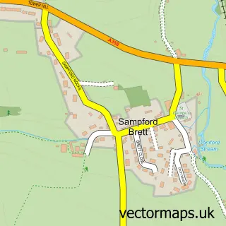
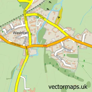
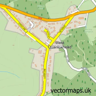
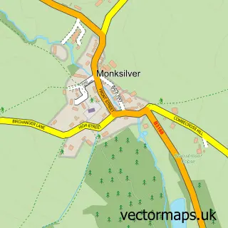
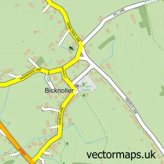
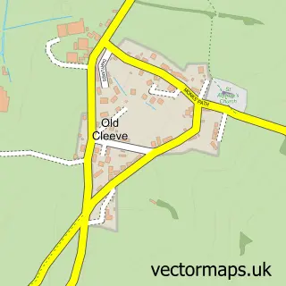
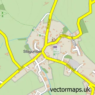
Nearby street map samples around Williton

More street maps in Somerset
750 metre map area coverage
Boundary, postcode and point of interest information for the 750m x 750m rectangle centred on this sample map.
Boundaries containing map centre
Constituency: Tiverton and Minehead Co Const
District: Somerset
Icb: NHS Somerset ICB
Parish: Williton CP
Police Force: avon and somerset
Postcode District: TA4
Postcode Sector: TA4 4
Nearby boundaries intersecting sample
No additional intersecting boundaries found.
Postcode coverage
POI category counts
Beauty And Spa: 4
Convenience Store: 4
Gas Station: 4
Real Estate Agent: 4
Funeral Services And Cemeteries: 3
Bed And Breakfast: 2
Clothing Store: 2
Coffee Shop: 2
Education: 2
Flowers And Gifts Shop: 2
Sample points of interest
- Courtney Acupuncture
- Alison Courtney
- Times Gone By
- Mamsey House Nursing Home
- The Cooperative Food (BF) Williton, Williton
- Luck Car Body Repairers
- Kwik Stop
- Glenmore Bakery
- Lloyds Bank
- NatWest Mobile Branch
- Anna Filip Nail Educator
- BrowBliss Beauty
Create a larger editable map of Williton
This sample shows only a 750 metre area. To create a larger map of Williton, use our map builder to choose your own coverage area, add titles and download editable SVG, PDF and PNG files.
Create a custom map of Williton