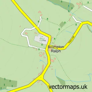
This Stogumber street map is a detailed vector street map covering a 750m x 750m area. Select a larger area to create and download your own vector street map of Stogumber.
The 750-metre map sample for Stogumber covers 169 mapped buildings and approximately 14.5 km of road detail, of which 12 named roads are named. The immediate area includes 1 school and 1 pub. The wider area around Stogumber features 1 tourism point of interest, 2 food and drink venues and 1 hotel. To create a larger or custom map of Stogumber, the map builder lets you define your own coverage area and download editable SVG, PDF and PNG files.
Create a larger editable map of Stogumber
Choose any area you need and generate a high-quality vector map instantly. Perfect for print, planning, design, business and personal use.

This Stogumber street map in Somerset is available as downloadable SVG, PDF and PNG map files, or as a printed map for planning, business, display, education, local information and design work. You can also create a larger custom map area using the map selector.
What this Stogumber map sample shows
Stogumber lies within Stogumber Cp parish, part of Old Cleeve & District ward in the Somerset local authority area. The postcode geography for this area includes the TA postcode area, the TA4 postcode district and the TA4 3 postcode sector. Residents fall under the Nhs Somerset Integrated Care Board for NHS services.
Local features near Stogumber
Within 2 milesAmenities and services in and around Stogumber.
Administrative and postcode information for Stogumber
The local authority covering Stogumber is Somerset, within the county of Somerset. The settlement lies within Old Cleeve & District ward and Stogumber Cp civil parish. The TA4 postcode district and TA4 3 postcode sector serve the immediate area. NHS provision in the area is delivered through Somerset Nhs Foundation Trust.
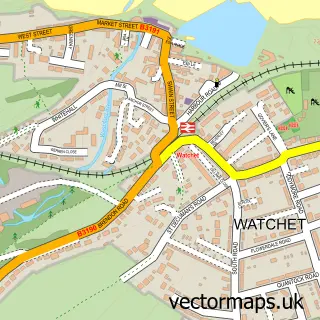
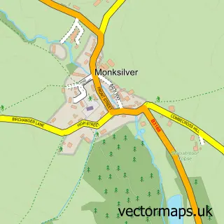
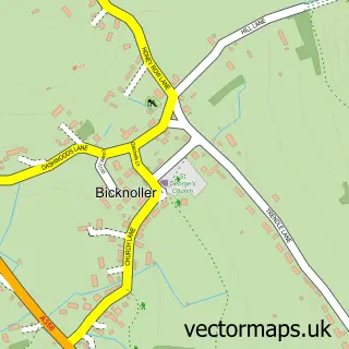
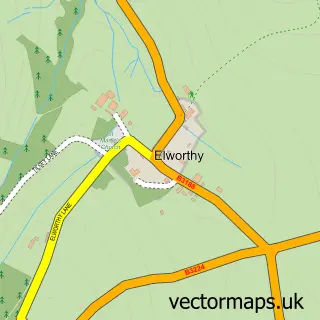
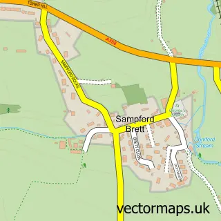
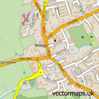
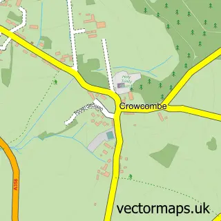
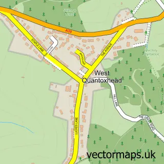
Nearby street map samples around Stogumber

More street maps in Somerset
750 metre map area coverage
Boundary, postcode and point of interest information for the 750m x 750m rectangle centred on this sample map.
Boundaries containing map centre
Constituency: Tiverton and Minehead Co Const
District: Somerset
Icb: NHS Somerset ICB
Parish: Stogumber CP
Police Force: avon and somerset
Postcode District: TA4
Postcode Sector: TA4 3
Nearby boundaries intersecting sample
Postcode Sector: TA4 4
Postcode coverage
POI category counts
Bed And Breakfast: 2
Flowers And Gifts Shop: 2
Post Office: 2
Anglican Church: 1
Business Management Services: 1
Church Cathedral: 1
Community Center: 1
Convenience Store: 1
Doctor: 1
Driving School: 1
Sample points of interest
- Stogumber Church
- Hall Farm B and B
- Wick House
- Alphaplus Training & Translations Ltd.
- Church of St Mary, Stogumber
- Stogumber Village Hall
- Central Stores & Post Office
- Elaine Watson Homeopath
- Sally's School of Motoring
- Stogumber C Of E School
- MoneyGram
- Floral Designs by Wendy Symes
Create a larger editable map of Stogumber
This sample shows only a 750 metre area. To create a larger map of Stogumber, use our map builder to choose your own coverage area, add titles and download editable SVG, PDF and PNG files.
Create a custom map of Stogumber