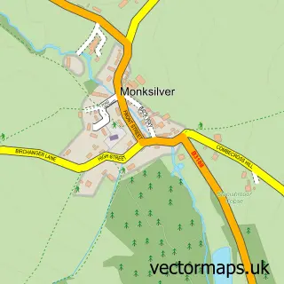
This Watchet street map is a detailed vector street map covering a 750m x 750m area. Select a larger area to create and download your own vector street map of Watchet.
The 750-metre map sample for Watchet covers 408 mapped buildings and approximately 13.9 km of road detail, of which 29 named roads are named. The immediate area includes 1 railway station, 1 GP surgery within 2 miles, 5 pubs and 4 MOT stations within 2 miles. The wider area around Watchet features 5 tourism points of interest, 14 food and drink venues and 7 hotels. To create a larger or custom map of Watchet, the map builder lets you define your own coverage area and download editable SVG, PDF and PNG files.
Create a larger editable map of Watchet
Choose any area you need and generate a high-quality vector map instantly. Perfect for print, planning, design, business and personal use.

This Watchet street map in Somerset is available as downloadable SVG, PDF and PNG map files, or as a printed map for planning, business, display, education, local information and design work. You can also create a larger custom map area using the map selector.
What this Watchet map sample shows
Watchet lies within Watchet Cp parish, part of Watchet & Williton ward in the Somerset local authority area. The postcode geography for this area includes the TA postcode area, the TA23 postcode district and the TA23 0 postcode sector. Residents fall under the Nhs Somerset Integrated Care Board for NHS services.
Local features near Watchet
Within 2 milesAmenities and services in and around Watchet.
Administrative and postcode information for Watchet
The local authority covering Watchet is Somerset, within the county of Somerset. The settlement lies within Watchet & Williton ward and Watchet Cp civil parish. The TA23 postcode district and TA23 0 postcode sector serve the immediate area. NHS provision in the area is delivered through Somerset Nhs Foundation Trust.
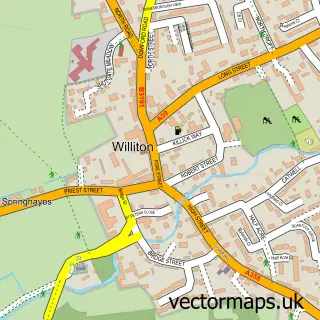
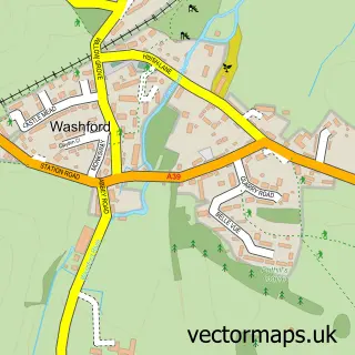
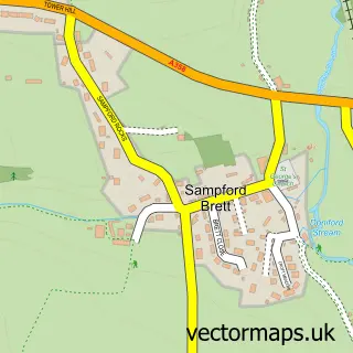
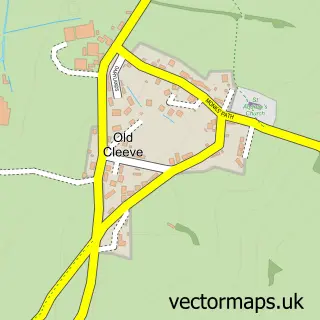
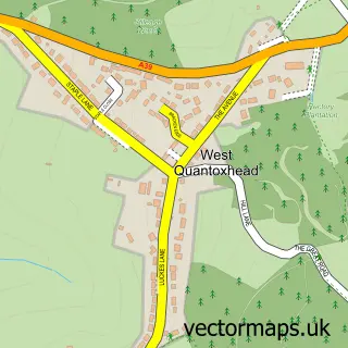
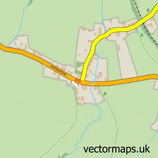
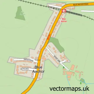
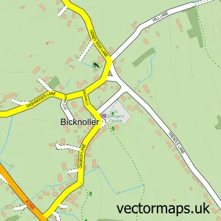
Nearby street map samples around Watchet

More street maps in Somerset
750 metre map area coverage
Boundary, postcode and point of interest information for the 750m x 750m rectangle centred on this sample map.
Boundaries containing map centre
Constituency: Tiverton and Minehead Co Const
District: Somerset
Icb: NHS Somerset ICB
Parish: Watchet CP
Police Force: avon and somerset
Postcode District: TA23
Postcode Sector: TA23 0
Nearby boundaries intersecting sample
No additional intersecting boundaries found.
Postcode coverage
POI category counts
Bed And Breakfast: 8
Hotel: 7
Bar: 5
Cafe: 5
Pub: 5
Art Gallery: 4
Convenience Store: 4
Driving School: 4
Professional Services: 4
Beauty And Spa: 3
Sample points of interest
- Solve It Bookkeeping
- Holy Cross Chapel
- Help Tropiquaria - Zoo's Need Food Too
- Contains Art
- Contains Art
- East Quay Watchet
- The Lynda Cotton Gallery
- The Cooperative Food (BF) Watchet
- Watchet Glass & Glazing
- Lloyds Bank
- Watchet Baptist Church
- Anchor Inn
Create a larger editable map of Watchet
This sample shows only a 750 metre area. To create a larger map of Watchet, use our map builder to choose your own coverage area, add titles and download editable SVG, PDF and PNG files.
Create a custom map of Watchet