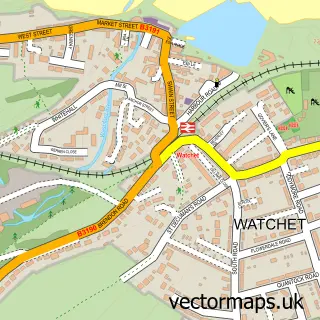
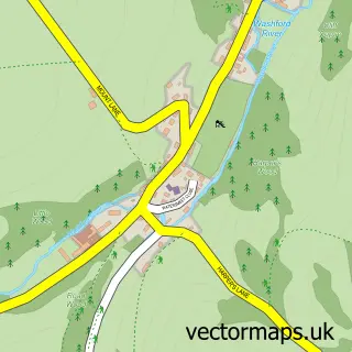
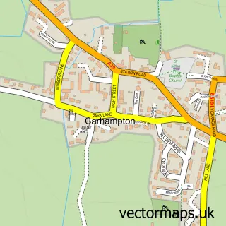
This Washford street map is a detailed vector street map covering a 750m x 750m area. Select a larger area to create and download your own vector street map of Washford.
The 750-metre map sample for Washford covers 203 mapped buildings and approximately 11.0 km of road detail, of which 11 named roads are named. The immediate area includes 1 school, 1 GP surgery within 2 miles and 3 MOT stations within 2 miles. The wider area around Washford features 1 tourism point of interest and 2 hotels. To create a larger or custom map of Washford, the map builder lets you define your own coverage area and download editable SVG, PDF and PNG files.
Create a larger editable map of Washford
Choose any area you need and generate a high-quality vector map instantly. Perfect for print, planning, design, business and personal use.

This Washford street map in Somerset is available as downloadable SVG, PDF and PNG map files, or as a printed map for planning, business, display, education, local information and design work. You can also create a larger custom map area using the map selector.
What this Washford map sample shows
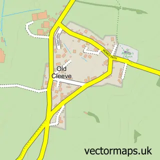
Washford lies within Old Cleeve Cp parish, part of Old Cleeve & District ward in the Somerset local authority area. The postcode geography for this area includes the TA postcode area, the TA23 postcode district and the TA23 0 postcode sector. Residents fall under the Nhs Somerset Integrated Care Board for NHS services.
Local features near Washford
Within 2 milesAmenities and services in and around Washford.
Administrative and postcode information for Washford
Washford lies within Old Cleeve Cp parish, part of Old Cleeve & District ward in the Somerset local authority area. The postcode geography for this area includes the TA postcode area, the TA23 postcode district and the TA23 0 postcode sector. Residents fall under the Nhs Somerset Integrated Care Board for NHS services.
Nearby street map samples around Washford

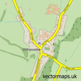
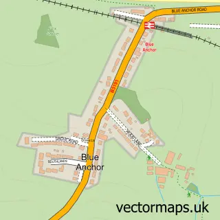
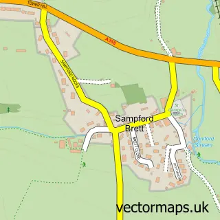
More street maps in Somerset
750 metre map area coverage
Boundary, postcode and point of interest information for the 750m x 750m rectangle centred on this sample map.
Boundaries containing map centre
Constituency: Tiverton and Minehead Co Const
District: Somerset
Icb: NHS Somerset ICB
Parish: Old Cleeve CP
Police Force: avon and somerset
Postcode District: TA23
Postcode Sector: TA23 0
Nearby boundaries intersecting sample
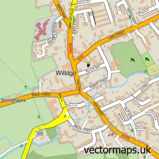
Parish: Williton CP
Postcode coverage
POI category counts
Post Office: 3
Hotel: 2
Active Life: 1
Automotive Services And Repair: 1
Car Dealer: 1
Courier And Delivery Services: 1
Elementary School: 1
Forestry Service: 1
Holiday Rental Home: 1
Indian Restaurant: 1
Sample points of interest
- Old Byres Holiday Cottage
- CLS Electrical
- Somerset Automotive
- LJ Light Haulage
- Old Cleeve C of E First School
- J Pickard & Co
- West Somerset Breaks
- Linhay Holiday Cottages
- Monkscider House
- Washford Inn
- English Heritage
- Cleeve Abbey
Create a larger editable map of Washford
This sample shows only a 750 metre area. To create a larger map of Washford, use our map builder to choose your own coverage area, add titles and download editable SVG, PDF and PNG files.
Create a custom map of Washford