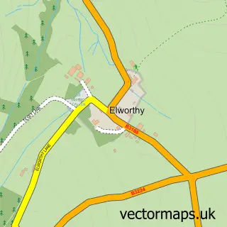
This Sampford Brett street map is a detailed vector street map covering a 750m x 750m area. Select a larger area to create and download your own vector street map of Sampford Brett.
The 750-metre map sample for Sampford Brett covers 133 mapped buildings and approximately 9.1 km of road detail, of which 4 named roads are named. The immediate area includes 1 GP surgery within 2 miles and 5 MOT stations within 2 miles. The wider area around Sampford Brett features 1 campsite within 2 miles. To create a larger or custom map of Sampford Brett, the map builder lets you define your own coverage area and download editable SVG, PDF and PNG files.
Create a larger editable map of Sampford Brett
Choose any area you need and generate a high-quality vector map instantly. Perfect for print, planning, design, business and personal use.

This Sampford Brett street map in Somerset is available as downloadable SVG, PDF and PNG map files, or as a printed map for planning, business, display, education, local information and design work. You can also create a larger custom map area using the map selector.
What this Sampford Brett map sample shows
Sampford Brett lies within Sampford Brett Cp parish, part of Watchet & Williton ward in the Somerset local authority area. The postcode geography for this area includes the TA postcode area, the TA4 postcode district and the TA4 4 postcode sector. Residents fall under the Nhs Somerset Integrated Care Board for NHS services.
Local features near Sampford Brett
Within 2 milesAmenities and services in and around Sampford Brett.
Administrative and postcode information for Sampford Brett
The local authority covering Sampford Brett is Somerset, within the county of Somerset. The settlement lies within Watchet & Williton ward and Sampford Brett Cp civil parish. The TA4 postcode district and TA4 4 postcode sector serve the immediate area. NHS provision in the area is delivered through Somerset Nhs Foundation Trust.
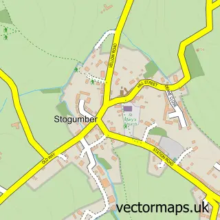
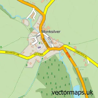
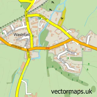
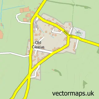
Nearby street map samples around Sampford Brett
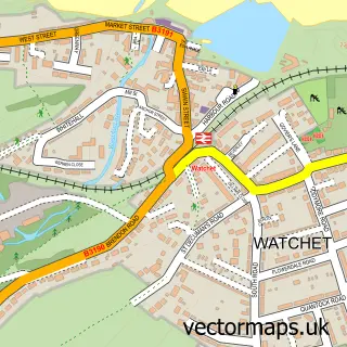

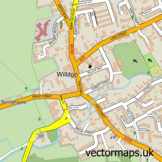
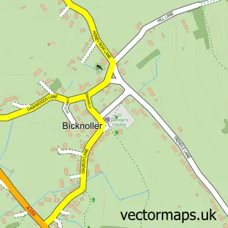
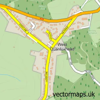
More street maps in Somerset
750 metre map area coverage
Boundary, postcode and point of interest information for the 750m x 750m rectangle centred on this sample map.
Boundaries containing map centre
Constituency: Tiverton and Minehead Co Const
District: Somerset
Icb: NHS Somerset ICB
Parish: Sampford Brett CP
Police Force: avon and somerset
Postcode District: TA4
Postcode Sector: TA4 4
Nearby boundaries intersecting sample
Parish: Bicknoller CP, Stogumber CP
Postcode coverage
POI category counts
Anglican Church: 2
Convenience Store: 1
Courier And Delivery Services: 1
Holiday Rental Home: 1
Information Technology Company: 1
Rental Services: 1
Web Designer: 1
Sample points of interest
- St George
- St George, Sampford Brett
- Premier Quantock Service Station
- Somerset Sameday
- The Old Rectory Coach House
- Sonder Digital
- Quantock Roof Box Hire
- Open Door Internet Limited
Create a larger editable map of Sampford Brett
This sample shows only a 750 metre area. To create a larger map of Sampford Brett, use our map builder to choose your own coverage area, add titles and download editable SVG, PDF and PNG files.
Create a custom map of Sampford Brett