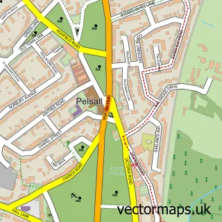
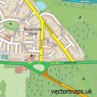
This Bloxwich street map is a detailed vector street map covering a 750m x 750m area. Select a larger area to create and download your own vector street map of Bloxwich.
The 750-metre map sample for Bloxwich covers 368 mapped buildings and approximately 26.2 km of road detail, of which 41 named roads are named. The immediate area includes 4 schools, 5 GP surgeries, with 17 within 2 miles, 10 pubs and 3 MOT stations, with 23 within 2 miles. The wider area around Bloxwich features 3 tourism points of interest and 22 food and drink venues. To create a larger or custom map of Bloxwich, the map builder lets you define your own coverage area and download editable SVG, PDF and PNG files.
Create a larger editable map of Bloxwich
Choose any area you need and generate a high-quality vector map instantly. Perfect for print, planning, design, business and personal use.

This Bloxwich street map in West Midlands is available as downloadable SVG, PDF and PNG map files, or as a printed map for planning, business, display, education, local information and design work. You can also create a larger custom map area using the map selector.
What this Bloxwich map sample shows
Bloxwich lies within Walsall District (B) parish, part of Bloxwich East ward in the Walsall District (B) local authority area. The postcode geography for this area includes the WS postcode area, the WS3 postcode district and the WS3 3 postcode sector. Residents fall under the Nhs Black Country Integrated Care Board for NHS services.
Local features near Bloxwich
Within 2 milesAmenities and services in and around Bloxwich.
Administrative and postcode information for Bloxwich
The local authority covering Bloxwich is Walsall District (B), within the county of West Midlands. The settlement lies within Bloxwich East ward and Walsall District (B) civil parish. The WS3 postcode district and WS3 3 postcode sector serve the immediate area. NHS provision in the area is delivered through Walsall Healthcare Nhs Trust.
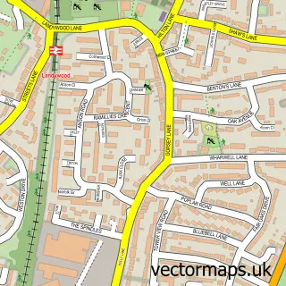
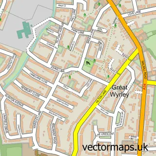
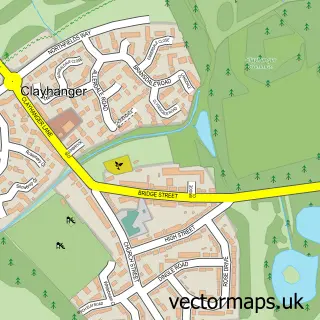
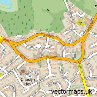
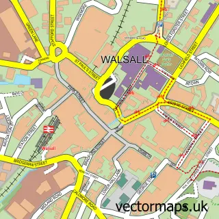
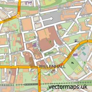
Nearby street map samples around Bloxwich

More street maps in West Midlands
750 metre map area coverage
Boundary, postcode and point of interest information for the 750m x 750m rectangle centred on this sample map.
Boundaries containing map centre
Constituency: Walsall and Bloxwich Boro Const
District: Walsall District (B)
Icb: NHS Black Country ICB
Police Force: west midlands
Postcode District: WS3
Postcode Sector: WS3 3
Ward: Bloxwich East Ward
Nearby boundaries intersecting sample
Postcode Sector: WS3 2
Ward: Birchills Leamore Ward, Blakenall Ward, Bloxwich West Ward
Postcode coverage
POI category counts
Automotive Repair: 12
Beauty Salon: 12
Hair Salon: 12
Pub: 10
Doctor: 8
Discount Store: 7
Indian Restaurant: 7
Building Supply Store: 6
Fast Food Restaurant: 6
Pharmacy: 6
Sample points of interest
- Chunky Grill
- East Legon Restaurant & Bar
- Reiki & Reflexology
- Quicksilver
- All Saints' Church Bloxwich
- Acorns Children's Hospice
- Hidden Gem Auctions
- The Pez Emporium
- Wilko
- Playland Bloxwich
- Stitch n Knit
- StreetStar Midlands
Create a larger editable map of Bloxwich
This sample shows only a 750 metre area. To create a larger map of Bloxwich, use our map builder to choose your own coverage area, add titles and download editable SVG, PDF and PNG files.
Create a custom map of Bloxwich