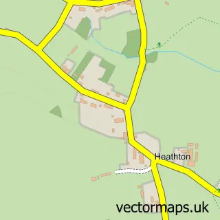
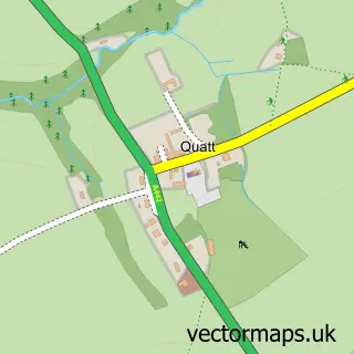
This Bobbington street map is a detailed vector street map covering a 750m x 750m area. Select a larger area to create and download your own vector street map of Bobbington.
The 750-metre map sample for Bobbington covers 72 mapped buildings and approximately 24.9 km of road detail, of which 5 named roads are named. The immediate area includes 1 pub. The wider area around Bobbington features 1 food and drink venue. To create a larger or custom map of Bobbington, the map builder lets you define your own coverage area and download editable SVG, PDF and PNG files.
Create a larger editable map of Bobbington
Choose any area you need and generate a high-quality vector map instantly. Perfect for print, planning, design, business and personal use.

This Bobbington street map in Staffordshire is available as downloadable SVG, PDF and PNG map files, or as a printed map for planning, business, display, education, local information and design work. You can also create a larger custom map area using the map selector.
What this Bobbington map sample shows
Bobbington lies within Bobbington Cp parish, part of Trysull And Seisdon ward in the South Staffordshire District local authority area. The postcode geography for this area includes the DY postcode area, the DY7 postcode district and the DY7 5 postcode sector. Residents fall under the Nhs Staffordshire And Stoke-On-Trent Integrated Care Board for NHS services.
Local features near Bobbington
Within 2 milesAmenities and services in and around Bobbington.
Administrative and postcode information for Bobbington
Bobbington lies within Bobbington Cp parish, part of Trysull And Seisdon ward in the South Staffordshire District local authority area. The postcode geography for this area includes the DY postcode area, the DY7 postcode district and the DY7 5 postcode sector. Residents fall under the Nhs Staffordshire And Stoke-On-Trent Integrated Care Board for NHS services.
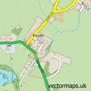
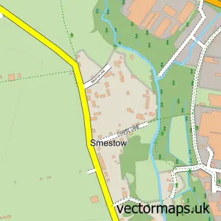
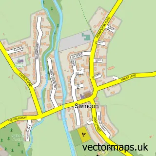
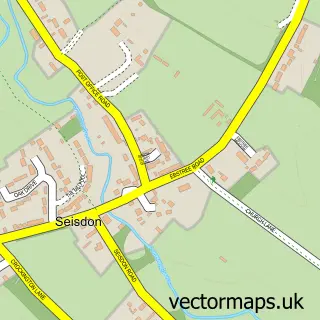
Nearby street map samples around Bobbington

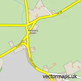
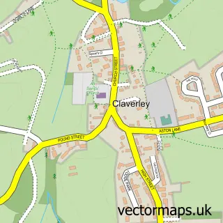
More street maps in Staffordshire
750 metre map area coverage
Boundary, postcode and point of interest information for the 750m x 750m rectangle centred on this sample map.
Boundaries containing map centre
Constituency: Kingswinford and South Staffordshire Co Const
County: Staffordshire County
District: South Staffordshire District
Icb: NHS Black Country ICB
Parish: Bobbington CP
Police Force: staffordshire
Postcode District: DY7
Postcode Sector: DY7 5
Ward: Pattingham, Trysull, Bobbington & Lower Penn Ward
Nearby boundaries intersecting sample
Constituency: South Shropshire Co Const
District: Shropshire
Icb: NHS Shropshire Telford and Wrekin ICB
Parish: Claverley CP
Police Force: west mercia
Postcode District: WV5
Postcode Sector: WV5 7
Postcode coverage
POI category counts
Anglican Church: 1
Beauty And Spa: 1
Church Cathedral: 1
College University: 1
Community Center: 1
Currency Exchange: 1
Day Care Preschool: 1
Elementary School: 1
Metal Supplier: 1
Pub: 1
Sample points of interest
- Bobbington Holy Cross
- Leisure Lounge Beautique
- Holy Cross C of E Church
- Staffordshire County Council
- Bobbington Village Hall
- Post Office Travel Money
- Little Acorns Nursery
- Corbett VA CofE Primary School
- The Ibin
- Red Lion Inn
- Bobbington Post Office
Create a larger editable map of Bobbington
This sample shows only a 750 metre area. To create a larger map of Bobbington, use our map builder to choose your own coverage area, add titles and download editable SVG, PDF and PNG files.
Create a custom map of Bobbington