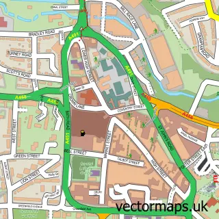
This Enville street map is a detailed vector street map covering a 750m x 750m area. Select a larger area to create and download your own vector street map of Enville.
The 750-metre map sample for Enville covers 108 mapped buildings and approximately 22.1 km of road detail, of which 6 named roads are named. The immediate area includes 2 pubs. The wider area around Enville features 2 food and drink venues. To create a larger or custom map of Enville, the map builder lets you define your own coverage area and download editable SVG, PDF and PNG files.
Create a larger editable map of Enville
Choose any area you need and generate a high-quality vector map instantly. Perfect for print, planning, design, business and personal use.

This Enville street map in Staffordshire is available as downloadable SVG, PDF and PNG map files, or as a printed map for planning, business, display, education, local information and design work. You can also create a larger custom map area using the map selector.
What this Enville map sample shows
Enville lies within Enville Cp parish, part of Trysull And Seisdon ward in the South Staffordshire District local authority area. The postcode geography for this area includes the DY postcode area, the DY7 postcode district and the DY7 5 postcode sector. Residents fall under the Nhs Staffordshire And Stoke-On-Trent Integrated Care Board for NHS services.
Local features near Enville
Within 2 milesAmenities and services in and around Enville.
Administrative and postcode information for Enville
The local authority covering Enville is South Staffordshire District, within the county of Staffordshire. The settlement lies within Trysull And Seisdon ward and Enville Cp civil parish. The DY7 postcode district and DY7 5 postcode sector serve the immediate area. NHS provision in the area is delivered through The Dudley Group Nhs Foundation Trust.
Nearby street map samples around Enville


More street maps in Staffordshire
750 metre map area coverage
Boundary, postcode and point of interest information for the 750m x 750m rectangle centred on this sample map.
Boundaries containing map centre
Constituency: Kingswinford and South Staffordshire Co Const
County: Staffordshire County
District: South Staffordshire District
Icb: NHS Black Country ICB
Parish: Enville CP
Police Force: staffordshire
Postcode District: DY7
Postcode Sector: DY7 5
Ward: Kinver & Enville Ward
Nearby boundaries intersecting sample
No additional intersecting boundaries found.
Postcode coverage
POI category counts
Newspaper And Magazines Store: 2
Pub: 2
Advertising Agency: 1
Anglican Church: 1
Bakery: 1
Building Supply Store: 1
Church Cathedral: 1
Construction Services: 1
Counseling And Mental Health: 1
Furniture Store: 1
Sample points of interest
- The Best Marketing Company Limited
- Enville S.Mary the Virgin
- Enville Cakes and Bakes
- The Establishment
- St Mary the Virgin
- Enville Oak Ltd
- Stellar Mind
- Archie's Attic Coffee Shop and Gifts
- Darfil UK
- Enville Post Office
- Post Office-Enville
- Enville Newsagents
Create a larger editable map of Enville
This sample shows only a 750 metre area. To create a larger map of Enville, use our map builder to choose your own coverage area, add titles and download editable SVG, PDF and PNG files.
Create a custom map of Enville