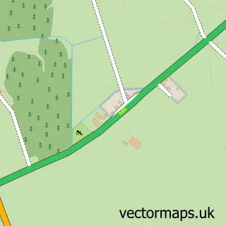
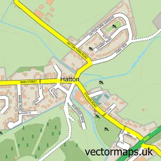
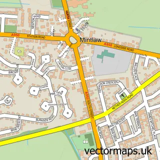
This Boddam street map is a detailed vector street map covering a 750m x 750m area. Select a larger area to create and download your own vector street map of Boddam.
The 750-metre map sample for Boddam covers 101 mapped buildings and approximately 12.8 km of road detail, of which 30 named roads are named. The immediate area includes 2 MOT stations, with 4 within 2 miles. The wider area around Boddam features 3 hotels. To create a larger or custom map of Boddam, the map builder lets you define your own coverage area and download editable SVG, PDF and PNG files.
Create a larger editable map of Boddam
Choose any area you need and generate a high-quality vector map instantly. Perfect for print, planning, design, business and personal use.

This Boddam street map in Aberdeenshire is available as downloadable SVG, PDF and PNG map files, or as a printed map for planning, business, display, education, local information and design work. You can also create a larger custom map area using the map selector.
What this Boddam map sample shows
Boddam lies within Aberdeenshire parish, part of Peterhead South And Cruden ward in the Aberdeenshire local authority area. The postcode geography for this area includes the AB postcode area, the AB42 postcode district and the AB42 3 postcode sector. Residents fall under the Grampian for NHS services.
Local features near Boddam
Within 2 milesAmenities and services in and around Boddam.
Administrative and postcode information for Boddam
Boddam lies within Aberdeenshire parish, part of Peterhead South And Cruden ward in the Aberdeenshire local authority area. The postcode geography for this area includes the AB postcode area, the AB42 postcode district and the AB42 3 postcode sector. Residents fall under the Grampian for NHS services.
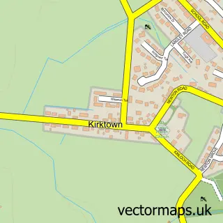
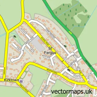
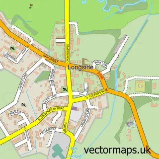
Nearby street map samples around Boddam
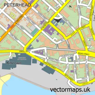

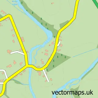
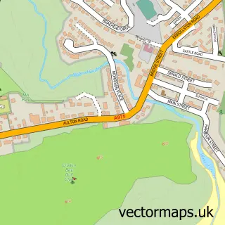
More street maps in Aberdeenshire
750 metre map area coverage
Boundary, postcode and point of interest information for the 750m x 750m rectangle centred on this sample map.
Boundaries containing map centre
Constituency: Aberdeenshire North and Moray East Co Const
District: Aberdeenshire
Icb: Grampian
Postcode District: AB42
Postcode Sector: AB42 3
Ward: Peterhead South and Cruden Ward
Nearby boundaries intersecting sample
No additional intersecting boundaries found.
Postcode coverage
POI category counts
Hotel: 3
Building Supply Store: 2
Elementary School: 2
Fish And Chips Restaurant: 2
Lighthouse: 2
Automotive Dealer: 1
Beauty And Spa: 1
Beauty Salon: 1
Charity Organization: 1
Childrens Clothing Store: 1
Sample points of interest
- Park Garage Boddam
- KD Beauty
- Beauty Box - Amanda Relph
- Aim Building Contractors
- Peterhead Fabrication Services
- The Boddam Hub
- Covet Bespoke Milliner
- Crimond Community Centre
- Puffin Cottage
- Buchan Braes Dental Clinic
- Boddam Primary School
- Buoys & Gulls Nursery
Create a larger editable map of Boddam
This sample shows only a 750 metre area. To create a larger map of Boddam, use our map builder to choose your own coverage area, add titles and download editable SVG, PDF and PNG files.
Create a custom map of Boddam