This Mintlaw street map is a detailed vector street map covering a 750m x 750m area. Select a larger area to create and download your own vector street map of Mintlaw.
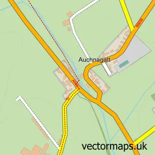
The 750-metre map sample for Mintlaw covers 334 mapped buildings and approximately 21.0 km of road detail, of which 37 named roads are named. The immediate area includes 1 GP surgery within 2 miles and 1 MOT station, with 2 within 2 miles. The wider area around Mintlaw features 1 tourism point of interest, 5 food and drink venues and 1 campsite within 2 miles. To create a larger or custom map of Mintlaw, the map builder lets you define your own coverage area and download editable SVG, PDF and PNG files.
Create a larger editable map of Mintlaw
Choose any area you need and generate a high-quality vector map instantly. Perfect for print, planning, design, business and personal use.

This Mintlaw street map in Aberdeenshire is available as downloadable SVG, PDF and PNG map files, or as a printed map for planning, business, display, education, local information and design work. You can also create a larger custom map area using the map selector.
What this Mintlaw map sample shows
Mintlaw lies within Aberdeenshire parish, part of Central Buchan ward in the Aberdeenshire local authority area. The postcode geography for this area includes the AB postcode area, the AB42 postcode district and the AB42 5 postcode sector. Residents fall under the Grampian for NHS services.
Local features near Mintlaw
Within 2 milesAmenities and services in and around Mintlaw.
Administrative and postcode information for Mintlaw
The local authority covering Mintlaw is Aberdeenshire, within the county of Aberdeenshire. The settlement lies within Central Buchan ward and Aberdeenshire civil parish. The AB42 postcode district and AB42 5 postcode sector serve the immediate area. NHS provision in the area is delivered through Grampian.
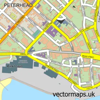
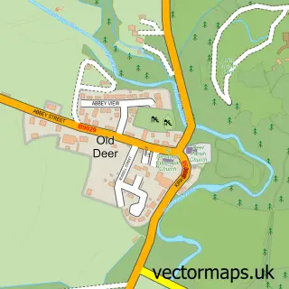
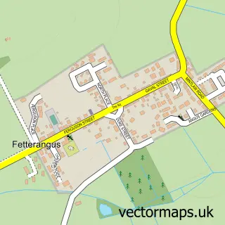
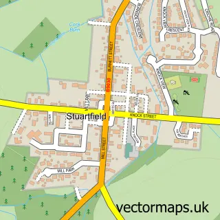
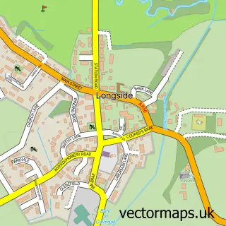
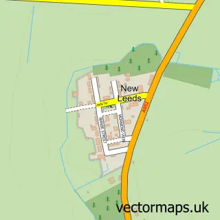
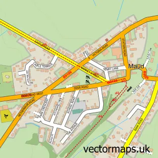
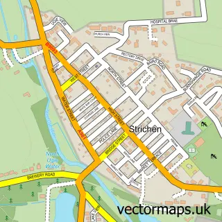
Nearby street map samples around Mintlaw

More street maps in Aberdeenshire
750 metre map area coverage
Boundary, postcode and point of interest information for the 750m x 750m rectangle centred on this sample map.
Boundaries containing map centre
Constituency: Aberdeenshire North and Moray East Co Const
District: Aberdeenshire
Icb: Grampian
Postcode District: AB42
Postcode Sector: AB42 5
Ward: Central Buchan Ward
Nearby boundaries intersecting sample
No additional intersecting boundaries found.
Postcode coverage
POI category counts
Convenience Store: 5
Gas Station: 3
Atms: 2
Beauty Salon: 2
Cafe: 2
Chinese Restaurant: 2
Coffee Shop: 2
Hair Salon: 2
Pharmacy: 2
Professional Services: 2
Sample points of interest
- Baxter Design Company
- MFG - Mintlaw Service Station (Matrix) (MRH)
- The Cooperative Food (BF) Mintlaw, Mintlaw
- Greggs
- Clydesdale Bank
- Shen's Barbershop
- Beckie within jstyle-adonia
- Tangled Hair & Beauty
- Buchan Indoor Bowling Club
- Cafe Zanre Mintlaw
- Simpsons Aberdeenshire
- Harrison Joinery
Create a larger editable map of Mintlaw
This sample shows only a 750 metre area. To create a larger map of Mintlaw, use our map builder to choose your own coverage area, add titles and download editable SVG, PDF and PNG files.
Create a custom map of Mintlaw