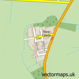
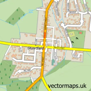
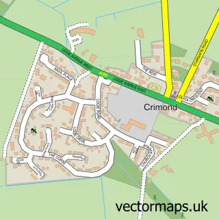
This Fetterangus street map is a detailed vector street map covering a 750m x 750m area. Select a larger area to create and download your own vector street map of Fetterangus.
The 750-metre map sample for Fetterangus covers 200 mapped buildings and approximately 9.2 km of road detail, of which 12 named roads are named. The immediate area includes 1 GP surgery within 2 miles, 1 pub and 2 MOT stations within 2 miles. The wider area around Fetterangus features 1 food and drink venue and 1 campsite within 2 miles. To create a larger or custom map of Fetterangus, the map builder lets you define your own coverage area and download editable SVG, PDF and PNG files.
Create a larger editable map of Fetterangus
Choose any area you need and generate a high-quality vector map instantly. Perfect for print, planning, design, business and personal use.

This Fetterangus street map in Aberdeenshire is available as downloadable SVG, PDF and PNG map files, or as a printed map for planning, business, display, education, local information and design work. You can also create a larger custom map area using the map selector.
What this Fetterangus map sample shows
Fetterangus lies within Aberdeenshire parish, part of Central Buchan ward in the Aberdeenshire local authority area. The postcode geography for this area includes the AB postcode area, the AB42 postcode district and the AB42 4 postcode sector. Residents fall under the Grampian for NHS services.
Local features near Fetterangus
Within 2 milesAmenities and services in and around Fetterangus.
Administrative and postcode information for Fetterangus
The local authority covering Fetterangus is Aberdeenshire, within the county of Aberdeenshire. The settlement lies within Central Buchan ward and Aberdeenshire civil parish. The AB42 postcode district and AB42 4 postcode sector serve the immediate area. NHS provision in the area is delivered through Grampian.
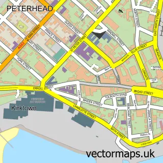
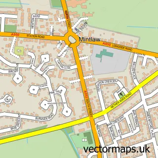
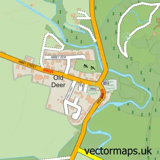
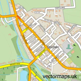
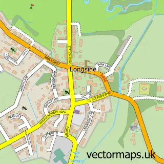
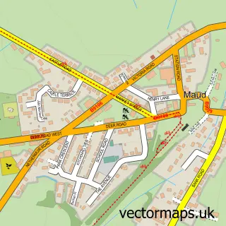
Nearby street map samples around Fetterangus

More street maps in Aberdeenshire
750 metre map area coverage
Boundary, postcode and point of interest information for the 750m x 750m rectangle centred on this sample map.
Boundaries containing map centre
Constituency: Aberdeenshire North and Moray East Co Const
District: Aberdeenshire
Icb: Grampian
Postcode District: AB42
Postcode Sector: AB42 4
Ward: Central Buchan Ward
Nearby boundaries intersecting sample
No additional intersecting boundaries found.
Postcode coverage
POI category counts
Appliance Repair Service: 1
Building Supply Store: 1
Community Center: 1
Elementary School: 1
Home Service: 1
Pub: 1
Public Service And Government: 1
Sample points of interest
- Bruce Smith Domestic Appliance Engineers
- RMY Oil Solutions
- Fetterangus Village Hall
- Fetterangus School
- Jumping Jacks Childminder
- The Fishie Pub
- Fishie
Create a larger editable map of Fetterangus
This sample shows only a 750 metre area. To create a larger map of Fetterangus, use our map builder to choose your own coverage area, add titles and download editable SVG, PDF and PNG files.
Create a custom map of Fetterangus