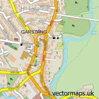
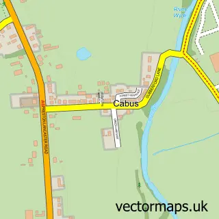
This Bonds street map is a detailed vector street map covering a 750m x 750m area. Select a larger area to create and download your own vector street map of Bonds.
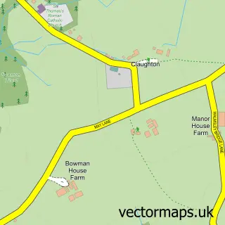
The 750-metre map sample for Bonds covers 351 mapped buildings and approximately 13.0 km of road detail, of which 37 named roads are named. The immediate area includes 1 school, 1 GP surgery within 2 miles and 7 MOT stations within 2 miles. To create a larger or custom map of Bonds, the map builder lets you define your own coverage area and download editable SVG, PDF and PNG files.
Create a larger editable map of Bonds
Choose any area you need and generate a high-quality vector map instantly. Perfect for print, planning, design, business and personal use.

This Bonds street map in Lancashire is available as downloadable SVG, PDF and PNG map files, or as a printed map for planning, business, display, education, local information and design work. You can also create a larger custom map area using the map selector.
What this Bonds map sample shows
Bonds lies within Barnacre-With-Bonds Cp parish, part of Calder ward in the Wyre District (B) local authority area. The postcode geography for this area includes the PR postcode area, the PR3 postcode district and the PR3 1 postcode sector. Residents fall under the Nhs Lancashire And South Cumbria Integrated Care Board for NHS services.
Local features near Bonds
Within 2 milesAmenities and services in and around Bonds.
Administrative and postcode information for Bonds
Bonds lies within Barnacre-With-Bonds Cp parish, part of Calder ward in the Wyre District (B) local authority area. The postcode geography for this area includes the PR postcode area, the PR3 postcode district and the PR3 1 postcode sector. Residents fall under the Nhs Lancashire And South Cumbria Integrated Care Board for NHS services.
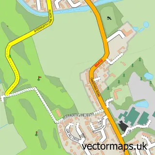
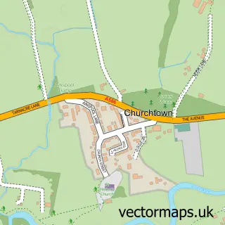
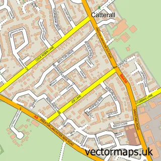
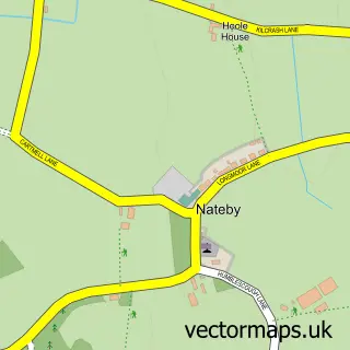
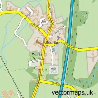
Nearby street map samples around Bonds

More street maps in Lancashire
750 metre map area coverage
Boundary, postcode and point of interest information for the 750m x 750m rectangle centred on this sample map.
Boundaries containing map centre
Constituency: Lancaster and Wyre Co Const
County: Lancashire County
District: Wyre District (B)
Icb: NHS Lancashire and South Cumbria ICB
Parish: Barnacre-with-Bonds CP
Police Force: lancashire
Postcode District: PR3
Postcode Sector: PR3 1
Ward: Calder Ward
Nearby boundaries intersecting sample
Parish: Garstang CP
Ward: Garstang Ward
Postcode coverage
POI category counts
Funeral Services And Cemeteries: 4
Beauty Salon: 3
Hair Salon: 3
Alternative Medicine: 2
Beauty And Spa: 2
Interior Design: 2
Korean Grocery Store: 2
Personal Care Service: 2
Preschool: 2
Transportation: 2
Sample points of interest
- The Acupuncture Lounge
- G Hill
- Vitality
- Mn Associates Limited
- Cadit Tech
- Hugos Cafe Bar & Bistro - Garstang
- Beauty By Piper
- Purple Medical Clinic
- Clarins Louisa John Hair & Beauty Preston
- Fiona.Moodra
- Louisa John Hair and Beauty
- Shuga
Create a larger editable map of Bonds
This sample shows only a 750 metre area. To create a larger map of Bonds, use our map builder to choose your own coverage area, add titles and download editable SVG, PDF and PNG files.
Create a custom map of Bonds