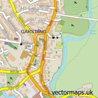
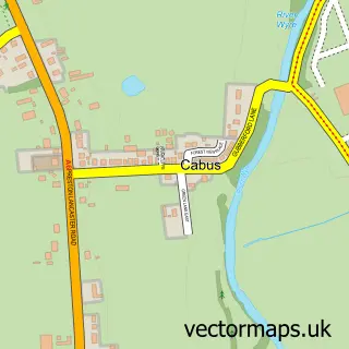
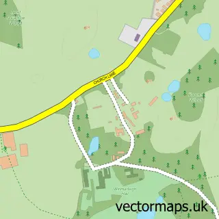
This Bowgreave street map is a detailed vector street map covering a 750m x 750m area. Select a larger area to create and download your own vector street map of Bowgreave.
The 750-metre map sample for Bowgreave covers 168 mapped buildings and approximately 5.5 km of road detail, of which 9 named roads are named. The immediate area includes 1 school, 1 GP surgery within 2 miles and 7 MOT stations within 2 miles. To create a larger or custom map of Bowgreave, the map builder lets you define your own coverage area and download editable SVG, PDF and PNG files.
Create a larger editable map of Bowgreave
Choose any area you need and generate a high-quality vector map instantly. Perfect for print, planning, design, business and personal use.

This Bowgreave street map in Lancashire is available as downloadable SVG, PDF and PNG map files, or as a printed map for planning, business, display, education, local information and design work. You can also create a larger custom map area using the map selector.
What this Bowgreave map sample shows
Bowgreave lies within Barnacre-With-Bonds Cp parish, part of Calder ward in the Wyre District (B) local authority area. The postcode geography for this area includes the PR postcode area, the PR3 postcode district and the PR3 1 postcode sector. Residents fall under the Nhs Lancashire And South Cumbria Integrated Care Board for NHS services.
Local features near Bowgreave
Within 2 milesAmenities and services in and around Bowgreave.
Administrative and postcode information for Bowgreave
Bowgreave lies within Barnacre-With-Bonds Cp parish, part of Calder ward in the Wyre District (B) local authority area. The postcode geography for this area includes the PR postcode area, the PR3 postcode district and the PR3 1 postcode sector. Residents fall under the Nhs Lancashire And South Cumbria Integrated Care Board for NHS services.
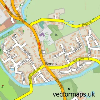
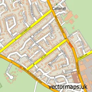
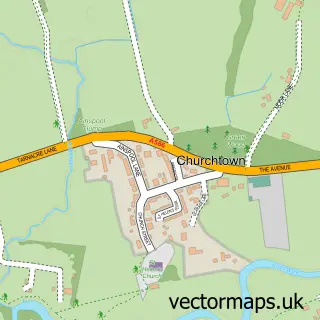
Nearby street map samples around Bowgreave

More street maps in Lancashire
750 metre map area coverage
Boundary, postcode and point of interest information for the 750m x 750m rectangle centred on this sample map.
Boundaries containing map centre
Constituency: Lancaster and Wyre Co Const
County: Lancashire County
District: Wyre District (B)
Icb: NHS Lancashire and South Cumbria ICB
Parish: Barnacre-with-Bonds CP
Police Force: lancashire
Postcode District: PR3
Postcode Sector: PR3 1
Ward: Calder Ward
Nearby boundaries intersecting sample
No additional intersecting boundaries found.
Postcode coverage
POI category counts
Golf Club: 2
High School: 1
Post Office: 1
Professional Services: 1
Retirement Home: 1
School: 1
Seafood Wholesaler: 1
Travel: 1
Sample points of interest
- Best Western Garstang Country Hotel And Golf Club
- Garstang Country Hotel
- Garstang Community Academy
- Post Office-Bowgreave
- March Design Studio
- Bowgreave Rise Home For The Elderly
- Garstang High School
- Pugh's Piglets
- North West Wedding Cars
Create a larger editable map of Bowgreave
This sample shows only a 750 metre area. To create a larger map of Bowgreave, use our map builder to choose your own coverage area, add titles and download editable SVG, PDF and PNG files.
Create a custom map of Bowgreave