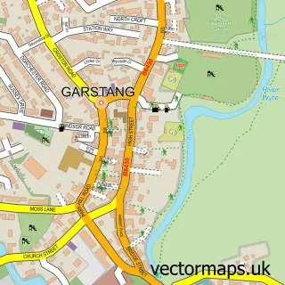
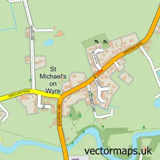
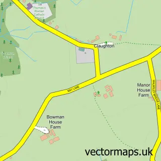
This Churchtown street map is a detailed vector street map covering a 750m x 750m area. Select a larger area to create and download your own vector street map of Churchtown.
The 750-metre map sample for Churchtown covers 95 mapped buildings and approximately 5.6 km of road detail, of which 9 named roads are named. The immediate area includes 1 school, 1 GP surgery within 2 miles, 1 pub and 6 MOT stations within 2 miles. The wider area around Churchtown features 1 tourism point of interest and 1 food and drink venue. To create a larger or custom map of Churchtown, the map builder lets you define your own coverage area and download editable SVG, PDF and PNG files.
Create a larger editable map of Churchtown
Choose any area you need and generate a high-quality vector map instantly. Perfect for print, planning, design, business and personal use.

This Churchtown street map in Lancashire is available as downloadable SVG, PDF and PNG map files, or as a printed map for planning, business, display, education, local information and design work. You can also create a larger custom map area using the map selector.
What this Churchtown map sample shows
Churchtown lies within Kirkland Cp parish, part of Great Eccleston ward in the Wyre District (B) local authority area. The postcode geography for this area includes the PR postcode area, the PR3 postcode district and the PR3 0 postcode sector. Residents fall under the Nhs Lancashire And South Cumbria Integrated Care Board for NHS services.
Local features near Churchtown
Within 2 milesAmenities and services in and around Churchtown.
Administrative and postcode information for Churchtown
Churchtown lies within Kirkland Cp parish, part of Great Eccleston ward in the Wyre District (B) local authority area. The postcode geography for this area includes the PR postcode area, the PR3 postcode district and the PR3 0 postcode sector. Residents fall under the Nhs Lancashire And South Cumbria Integrated Care Board for NHS services.
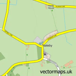
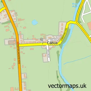
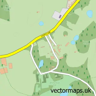
Nearby street map samples around Churchtown

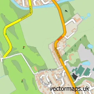
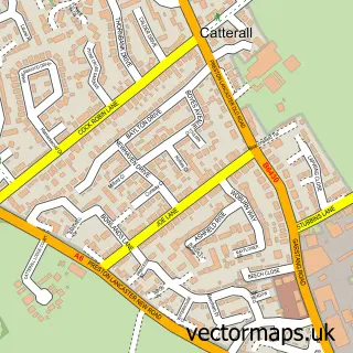
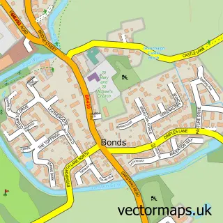
More street maps in Lancashire
750 metre map area coverage
Boundary, postcode and point of interest information for the 750m x 750m rectangle centred on this sample map.
Boundaries containing map centre
Constituency: Lancaster and Wyre Co Const
County: Lancashire County
District: Wyre District (B)
Icb: NHS Lancashire and South Cumbria ICB
Parish: Kirkland CP
Police Force: lancashire
Postcode District: PR3
Postcode Sector: PR3 0
Ward: Great Eccleston Ward
Nearby boundaries intersecting sample
Parish: Catterall CP
Ward: Brock with Catterall Ward
Postcode coverage
POI category counts
Anglican Church: 1
British Restaurant: 1
Church Cathedral: 1
Community Services Non Profits: 1
Elementary School: 1
Gastropub: 1
Landmark And Historical Building: 1
Pet Groomer: 1
Pub: 1
Scout Hall: 1
Sample points of interest
- Garstang St. Helen's Churchtown - The Cathedral of the Fylde
- Fayre Inns Limited
- St Helen's Church
- Art Cafe Preston - Here For Humanity
- Kirkland & Catterall St Helens C of E Primary School
- The Horns Inn Country Inn
- Churchtown
- Country Paws Dog Grooming
- The Horns Pub & Dining
- 1st Kirkland & Catterall
Create a larger editable map of Churchtown
This sample shows only a 750 metre area. To create a larger map of Churchtown, use our map builder to choose your own coverage area, add titles and download editable SVG, PDF and PNG files.
Create a custom map of Churchtown