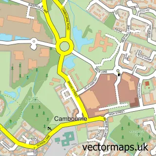
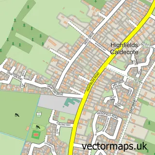
This Bourn street map is a detailed vector street map covering a 750m x 750m area. Select a larger area to create and download your own vector street map of Bourn.
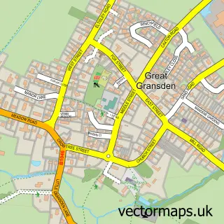
The 750-metre map sample for Bourn covers 225 mapped buildings and approximately 7.9 km of road detail, of which 11 named roads are named. The immediate area includes 1 school, 1 GP surgery, with 2 within 2 miles and 2 MOT stations within 2 miles. The wider area around Bourn features 1 tourism point of interest and 3 food and drink venues. To create a larger or custom map of Bourn, the map builder lets you define your own coverage area and download editable SVG, PDF and PNG files.
Create a larger editable map of Bourn
Choose any area you need and generate a high-quality vector map instantly. Perfect for print, planning, design, business and personal use.

This Bourn street map in Cambridgeshire is available as downloadable SVG, PDF and PNG map files, or as a printed map for planning, business, display, education, local information and design work. You can also create a larger custom map area using the map selector.
What this Bourn map sample shows
Bourn lies within Bourn Cp parish, part of Caldecote ward in the South Cambridgeshire District local authority area. The postcode geography for this area includes the CB postcode area, the CB23 postcode district and the CB23 2 postcode sector. Residents fall under the Nhs Cambridgeshire And Peterborough Integrated Care Board for NHS services.
Local features near Bourn
Within 2 milesAmenities and services in and around Bourn.
Administrative and postcode information for Bourn
The local authority covering Bourn is South Cambridgeshire District, within the county of Cambridgeshire. The settlement lies within Caldecote ward and Bourn Cp civil parish. The CB23 postcode district and CB23 2 postcode sector serve the immediate area. NHS provision in the area is delivered through Cambridge University Hospitals Nhs Foundation Trust.
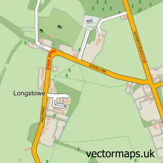
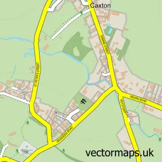
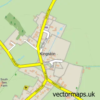
Nearby street map samples around Bourn

More street maps in Cambridgeshire
750 metre map area coverage
Boundary, postcode and point of interest information for the 750m x 750m rectangle centred on this sample map.
Boundaries containing map centre
Constituency: St. Neots and Mid Cambridgeshire Co Const
County: Cambridgeshire County
District: South Cambridgeshire District
Icb: NHS Central East ICB
Parish: Bourn CP
Police Force: cambridgeshire
Postcode District: CB23
Postcode Sector: CB23 2
Ward: Caldecote Ward
Nearby boundaries intersecting sample
No additional intersecting boundaries found.
Postcode coverage
POI category counts
Automotive Repair: 2
Convenience Store: 2
Shipping Center: 2
Advertising Agency: 1
Anglican Church: 1
Attractions And Activities: 1
Automotive: 1
Automotive Services And Repair: 1
Bakery: 1
Butcher Shop: 1
Sample points of interest
- Hay+Rice
- Bourn St Helena & St Mary
- Wildly Curious
- Klm automotive emergency mobile tyres 247
- DB Car Doctor Ltd
- Klm cars and commercials mobile mechanics and smart repairs
- Fluid
- White Cottage Bakery
- Knibbs Meat Safe Bourn
- The Stove
- St Helena and St Marys Church
- Fuckb0y Sfailures
Create a larger editable map of Bourn
This sample shows only a 750 metre area. To create a larger map of Bourn, use our map builder to choose your own coverage area, add titles and download editable SVG, PDF and PNG files.
Create a custom map of Bourn