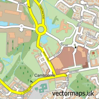
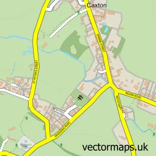
This Highfields Caldecote street map is a detailed vector street map covering a 750m x 750m area. Select a larger area to create and download your own vector street map of Highfields Caldecote.
The 750-metre map sample for Highfields Caldecote covers 487 mapped buildings and approximately 10.6 km of road detail, of which 22 named roads are named. The immediate area includes 1 school, 1 GP surgery within 2 miles and 2 MOT stations within 2 miles. The wider area around Highfields Caldecote features 1 food and drink venue. To create a larger or custom map of Highfields Caldecote, the map builder lets you define your own coverage area and download editable SVG, PDF and PNG files.
Create a larger editable map of Highfields Caldecote
Choose any area you need and generate a high-quality vector map instantly. Perfect for print, planning, design, business and personal use.

This Highfields Caldecote street map in Cambridgeshire is available as downloadable SVG, PDF and PNG map files, or as a printed map for planning, business, display, education, local information and design work. You can also create a larger custom map area using the map selector.
What this Highfields Caldecote map sample shows
Highfields Caldecote lies within Caldecote Cp parish, part of Caldecote ward in the South Cambridgeshire District local authority area. The postcode geography for this area includes the CB postcode area, the CB23 postcode district and the CB23 7 postcode sector. Residents fall under the Nhs Cambridgeshire And Peterborough Integrated Care Board for NHS services.
Local features near Highfields Caldecote
Within 2 milesAmenities and services in and around Highfields Caldecote.
Administrative and postcode information for Highfields Caldecote
Highfields Caldecote lies within Caldecote Cp parish, part of Caldecote ward in the South Cambridgeshire District local authority area. The postcode geography for this area includes the CB postcode area, the CB23 postcode district and the CB23 7 postcode sector. Residents fall under the Nhs Cambridgeshire And Peterborough Integrated Care Board for NHS services.
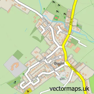
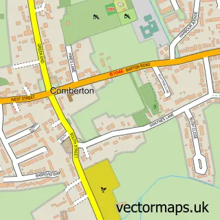
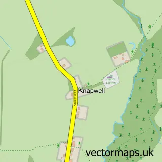
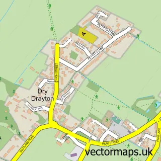
Nearby street map samples around Highfields Caldecote

More street maps in Cambridgeshire
750 metre map area coverage
Boundary, postcode and point of interest information for the 750m x 750m rectangle centred on this sample map.
Boundaries containing map centre
Constituency: St. Neots and Mid Cambridgeshire Co Const
County: Cambridgeshire County
District: South Cambridgeshire District
Icb: NHS Central East ICB
Parish: Caldecote CP
Police Force: cambridgeshire
Postcode District: CB23
Postcode Sector: CB23 7
Ward: Caldecote Ward
Nearby boundaries intersecting sample
Parish: Bourn CP
Postcode coverage
POI category counts
Beauty Salon: 4
Bakery: 1
Beauty Product Supplier: 1
Bed And Breakfast: 1
Builders: 1
Coffee Shop: 1
Construction Services: 1
Dance School: 1
Elementary School: 1
Hair Salon: 1
Sample points of interest
- The Frosted Flour Cakes
- Caldecuts
- Brooke's Beauty And Spa
- Caldecuts Hairdressing
- Divas
- Emma Grant permanent makeup Cambridge
- The Poplars Bed and Breakfast
- Balfour Beatty Homes - The Habitat
- Sidewalk Coffee Company
- CSO Construction Ltd
- Dreamcatcher Gymnastics and Dance
- Caldecote Primary School
Create a larger editable map of Highfields Caldecote
This sample shows only a 750 metre area. To create a larger map of Highfields Caldecote, use our map builder to choose your own coverage area, add titles and download editable SVG, PDF and PNG files.
Create a custom map of Highfields Caldecote