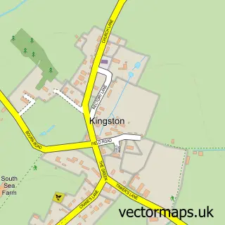
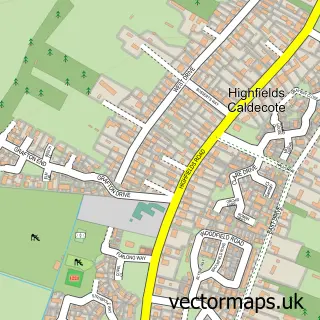
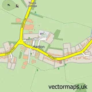
This Toft street map is a detailed vector street map covering a 750m x 750m area. Select a larger area to create and download your own vector street map of Toft.
The 750-metre map sample for Toft covers 208 mapped buildings and approximately 10.7 km of road detail, of which 16 named roads are named. The immediate area includes 1 GP surgery within 2 miles. To create a larger or custom map of Toft, the map builder lets you define your own coverage area and download editable SVG, PDF and PNG files.
Create a larger editable map of Toft
Choose any area you need and generate a high-quality vector map instantly. Perfect for print, planning, design, business and personal use.

This Toft street map in Cambridgeshire is available as downloadable SVG, PDF and PNG map files, or as a printed map for planning, business, display, education, local information and design work. You can also create a larger custom map area using the map selector.
What this Toft map sample shows
Toft lies within Toft Cp parish, part of Hardwick ward in the South Cambridgeshire District local authority area. The postcode geography for this area includes the CB postcode area, the CB23 postcode district and the CB23 2 postcode sector. Residents fall under the Nhs Cambridgeshire And Peterborough Integrated Care Board for NHS services.
Local features near Toft
Within 2 milesAmenities and services in and around Toft.
Administrative and postcode information for Toft
The local authority covering Toft is South Cambridgeshire District, within the county of Cambridgeshire. The settlement lies within Hardwick ward and Toft Cp civil parish. The CB23 postcode district and CB23 2 postcode sector serve the immediate area. NHS provision in the area is delivered through Cambridge University Hospitals Nhs Foundation Trust.
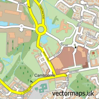
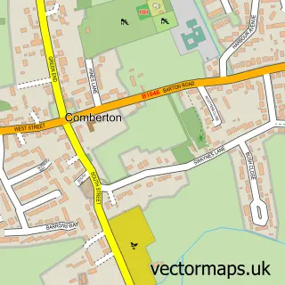
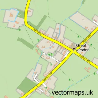
Nearby street map samples around Toft

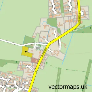
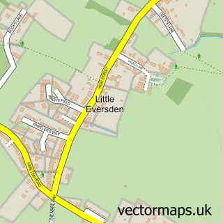
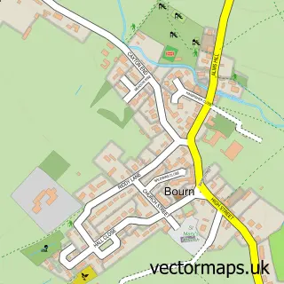
More street maps in Cambridgeshire
750 metre map area coverage
Boundary, postcode and point of interest information for the 750m x 750m rectangle centred on this sample map.
Boundaries containing map centre
Constituency: South Cambridgeshire Co Const
County: Cambridgeshire County
District: South Cambridgeshire District
Icb: NHS Central East ICB
Parish: Toft CP
Police Force: cambridgeshire
Postcode District: CB23
Postcode Sector: CB23 2
Ward: Hardwick Ward
Nearby boundaries intersecting sample
Constituency: St. Neots and Mid Cambridgeshire Co Const
Parish: Kingston CP
Ward: Caldecote Ward
Postcode coverage
POI category counts
Contractor: 2
Shipping Center: 2
Anglican Church: 1
Baby Gear And Furniture: 1
Building Supply Store: 1
Carpenter: 1
Chinese Restaurant: 1
Corporate Office: 1
Flowers And Gifts Shop: 1
Gardener: 1
Sample points of interest
- Church in Toft - St Andrew's
- Cosyplay Ltd.
- Warton & Clark
- James Tebbit Carpentry
- Tai Yuen
- All Metal Welding Services
- Moore Maintenance
- Cambridge Design Partnership
- Eden's Flowers
- Saunders Landscapes
- Cambridge Meridian Golf Club
- Toft Shop
Create a larger editable map of Toft
This sample shows only a 750 metre area. To create a larger map of Toft, use our map builder to choose your own coverage area, add titles and download editable SVG, PDF and PNG files.
Create a custom map of Toft