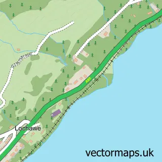
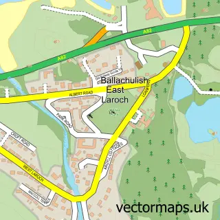
This Bridge of Orchy street map is a detailed vector street map covering a 750m x 750m area. Select a larger area to create and download your own vector street map of Bridge of Orchy.
The 750-metre map sample for Bridge of Orchy covers 11 mapped buildings and approximately 35.4 km of road detail, of which 2 named roads are named. The immediate area includes 1 railway station. The wider area around Bridge of Orchy features 3 hotels. To create a larger or custom map of Bridge of Orchy, the map builder lets you define your own coverage area and download editable SVG, PDF and PNG files.
Create a larger editable map of Bridge of Orchy
Choose any area you need and generate a high-quality vector map instantly. Perfect for print, planning, design, business and personal use.

This Bridge of Orchy street map in Argyll and Bute is available as downloadable SVG, PDF and PNG map files, or as a printed map for planning, business, display, education, local information and design work. You can also create a larger custom map area using the map selector.
What this Bridge of Orchy map sample shows
Bridge of Orchy lies within Argyll And Bute parish, part of Oban North And Lorn ward in the Argyll And Bute local authority area. The postcode geography for this area includes the PA postcode area, the PA36 postcode district and the PA36 4 postcode sector. Residents fall under the Highland for NHS services.
Local features near Bridge of Orchy
Within 2 milesAmenities and services in and around Bridge of Orchy.
Administrative and postcode information for Bridge of Orchy
Bridge of Orchy lies within Argyll And Bute parish, part of Oban North And Lorn ward in the Argyll And Bute local authority area. The postcode geography for this area includes the PA postcode area, the PA36 postcode district and the PA36 4 postcode sector. Residents fall under the Highland for NHS services.
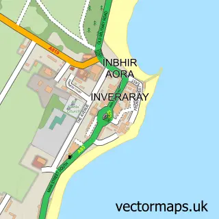
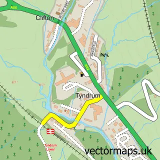
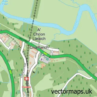
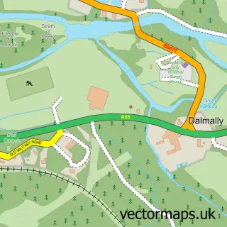
Nearby street map samples around Bridge of Orchy

More street maps in Argyll and Bute

750 metre map area coverage
Boundary, postcode and point of interest information for the 750m x 750m rectangle centred on this sample map.
Boundaries containing map centre
Constituency: Argyll, Bute and South Lochaber Co Const
District: Argyll and Bute
Icb: Highland
Postcode District: PA36
Postcode Sector: PA36 4
Ward: Oban North and Lorn Ward
Nearby boundaries intersecting sample
No additional intersecting boundaries found.
Postcode coverage
POI category counts
Hotel: 3
Bed And Breakfast: 1
Cabin: 1
Catholic Church: 1
Hiking Trail: 1
Lodge: 1
Mountain: 1
Post Office: 1
Resort: 1
Shipping Center: 1
Sample points of interest
- Greenstone Lodge
- Bridge of Orchy Pods
- Glenorchy & Strathfillan
- West Highland Way
- Bridge of Orchy Hotel
- Bridge of Orchy Post Office
- Stance Cottage Bed and Breakfast
- West Highland Way Sleeper
- Ben Dorain
- Post Office
- 60 Mile Inn - Bridge of Orchy
- Post Office
Create a larger editable map of Bridge of Orchy
This sample shows only a 750 metre area. To create a larger map of Bridge of Orchy, use our map builder to choose your own coverage area, add titles and download editable SVG, PDF and PNG files.
Create a custom map of Bridge of Orchy