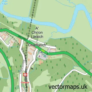
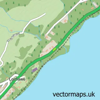
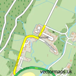
This Tyndrum street map is a detailed vector street map covering a 750m x 750m area. Select a larger area to create and download your own vector street map of Tyndrum.
The 750-metre map sample for Tyndrum covers 45 mapped buildings and approximately 21.5 km of road detail, of which 2 named roads are named. The immediate area includes 1 railway station. The wider area around Tyndrum features 5 tourism points of interest, 4 food and drink venues and 6 hotels. To create a larger or custom map of Tyndrum, the map builder lets you define your own coverage area and download editable SVG, PDF and PNG files.
Create a larger editable map of Tyndrum
Choose any area you need and generate a high-quality vector map instantly. Perfect for print, planning, design, business and personal use.

This Tyndrum street map in Stirling and Falkirk is available as downloadable SVG, PDF and PNG map files, or as a printed map for planning, business, display, education, local information and design work. You can also create a larger custom map area using the map selector.
What this Tyndrum map sample shows
Tyndrum lies within Stirling parish, part of Trossachs And Teith ward in the Stirling local authority area. The postcode geography for this area includes the FK postcode area, the FK20 postcode district and the FK20 8 postcode sector. Residents fall under the Forth Valley for NHS services.
Local features near Tyndrum
Within 2 milesAmenities and services in and around Tyndrum.
Administrative and postcode information for Tyndrum
The local authority covering Tyndrum is Stirling, within the county of Stirling And Falkirk. The settlement lies within Trossachs And Teith ward and Stirling civil parish. The FK20 postcode district and FK20 8 postcode sector serve the immediate area. NHS provision in the area is delivered through Forth Valley.
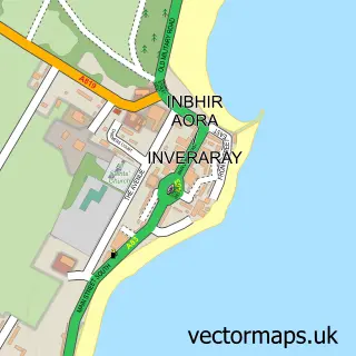
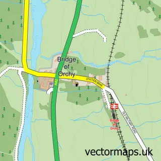
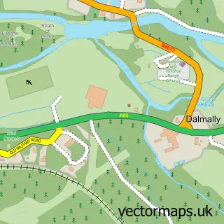
Nearby street map samples around Tyndrum

More street maps in Stirling and Falkirk
750 metre map area coverage
Boundary, postcode and point of interest information for the 750m x 750m rectangle centred on this sample map.
Boundaries containing map centre
Constituency: Stirling and Strathallan Co Const
District: Stirling
Icb: Forth Valley
Postcode District: FK20
Postcode Sector: FK20 8
Ward: Trossachs and Teith Ward
Nearby boundaries intersecting sample
No additional intersecting boundaries found.
Postcode coverage
POI category counts
Hotel: 6
Bed And Breakfast: 5
Gas Station: 3
Restaurant: 3
Convenience Store: 2
Park: 2
Post Office: 2
Train Station: 2
Active Life: 1
Attractions And Activities: 1
Sample points of interest
- Loch Lomond
- West Highland Way
- Clifton Cottage
- Dalkell Cottage Guest House
- Dalkell Cottage Guest House
- Tigh na Fraoch
- Tyndrum Lodges
- The Real Food Cafe
- BEN More
- The Real Food Cafe
- Brodies Mini Market
- Londis The Green Welly Stop Filling Station
Create a larger editable map of Tyndrum
This sample shows only a 750 metre area. To create a larger map of Tyndrum, use our map builder to choose your own coverage area, add titles and download editable SVG, PDF and PNG files.
Create a custom map of Tyndrum