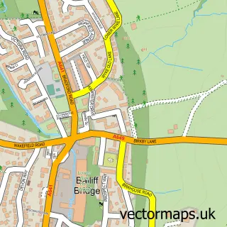
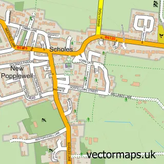
This Brighouse street map is a detailed vector street map covering a 750m x 750m area. Select a larger area to create and download your own vector street map of Brighouse.
The 750-metre map sample for Brighouse covers 249 mapped buildings and approximately 22.6 km of road detail, of which 63 named roads are named. The immediate area includes 2 GP surgeries, with 5 within 2 miles, 15 pubs and 2 MOT stations, with 10 within 2 miles. The wider area around Brighouse features 9 tourism points of interest and 39 food and drink venues. To create a larger or custom map of Brighouse, the map builder lets you define your own coverage area and download editable SVG, PDF and PNG files.
Create a larger editable map of Brighouse
Choose any area you need and generate a high-quality vector map instantly. Perfect for print, planning, design, business and personal use.

This Brighouse street map in West Yorkshire is available as downloadable SVG, PDF and PNG map files, or as a printed map for planning, business, display, education, local information and design work. You can also create a larger custom map area using the map selector.
What this Brighouse map sample shows
Brighouse lies within Calderdale District (B) parish, part of Brighouse ward in the Calderdale District (B) local authority area. The postcode geography for this area includes the HD postcode area, the HD6 postcode district and the HD6 1 postcode sector. Residents fall under the Nhs West Yorkshire Integrated Care Board for NHS services.
Local features near Brighouse
Within 2 milesAmenities and services in and around Brighouse.
Administrative and postcode information for Brighouse
Brighouse lies within Calderdale District (B) parish, part of Brighouse ward in the Calderdale District (B) local authority area. The postcode geography for this area includes the HD postcode area, the HD6 postcode district and the HD6 1 postcode sector. Residents fall under the Nhs West Yorkshire Integrated Care Board for NHS services.
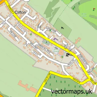
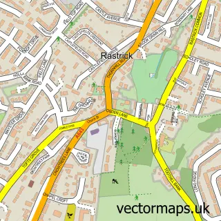
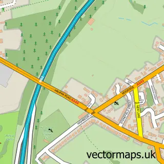
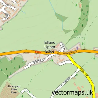
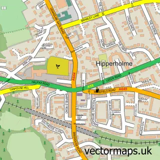
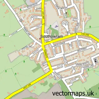
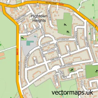
Nearby street map samples around Brighouse

More street maps in West Yorkshire
750 metre map area coverage
Boundary, postcode and point of interest information for the 750m x 750m rectangle centred on this sample map.
Boundaries containing map centre
Constituency: Calder Valley Co Const
District: Calderdale District (B)
Icb: NHS West Yorkshire ICB
Police Force: west yorkshire
Postcode District: HD6
Postcode Sector: HD6 1
Ward: Brighouse Ward
Nearby boundaries intersecting sample
Postcode Sector: HD6 2, HD6 4
Ward: Rastrick Ward
Postcode coverage
POI category counts
Professional Services: 15
Pub: 15
Beauty Salon: 12
Hair Salon: 11
Real Estate Agent: 11
Cafe: 10
Charity Organization: 10
Coffee Shop: 10
Gym: 9
Automotive Repair: 8
Sample points of interest
- AR Consultancy & Co. (Accountants)
- AR Consultancy and Co
- TaxAssist Accountants
- Pyro Marketing
- Celia Can Change You
- RideZone Plus
- W Marshalls Amusements
- St Martin, Brighouse
- St. Martins Parish Church
- Overgate Hospice Shop
- Flemings Seals
- Loose Cover Company
Create a larger editable map of Brighouse
This sample shows only a 750 metre area. To create a larger map of Brighouse, use our map builder to choose your own coverage area, add titles and download editable SVG, PDF and PNG files.
Create a custom map of Brighouse