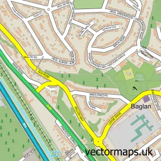
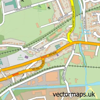
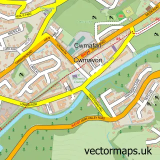
This Briton Ferry street map is a detailed vector street map covering a 750m x 750m area. Select a larger area to create and download your own vector street map of Briton Ferry.
The 750-metre map sample for Briton Ferry covers 428 mapped buildings and approximately 17.1 km of road detail, of which 34 named roads are named. The immediate area includes 1 railway station, 1 GP surgery within 2 miles, 5 pubs and 2 MOT stations, with 15 within 2 miles. The wider area around Briton Ferry features 8 food and drink venues. To create a larger or custom map of Briton Ferry, the map builder lets you define your own coverage area and download editable SVG, PDF and PNG files.
Create a larger editable map of Briton Ferry
Choose any area you need and generate a high-quality vector map instantly. Perfect for print, planning, design, business and personal use.

This Briton Ferry street map in West Glamorgan is available as downloadable SVG, PDF and PNG map files, or as a printed map for planning, business, display, education, local information and design work. You can also create a larger custom map area using the map selector.
What this Briton Ferry map sample shows
Briton Ferry lies within Briton Ferry Community parish, part of Briton Ferry East ward in the Castell-Nedd Port Talbot - Neath Port Talbot local authority area. The postcode geography for this area includes the SA postcode area, the SA11 postcode district and the SA11 2 postcode sector. Residents fall under the Swansea Bay University Local Health Board for NHS services.
Local features near Briton Ferry
Within 2 milesAmenities and services in and around Briton Ferry.
Administrative and postcode information for Briton Ferry
Briton Ferry lies within Briton Ferry Community parish, part of Briton Ferry East ward in the Castell-Nedd Port Talbot - Neath Port Talbot local authority area. The postcode geography for this area includes the SA postcode area, the SA11 postcode district and the SA11 2 postcode sector. Residents fall under the Swansea Bay University Local Health Board for NHS services.
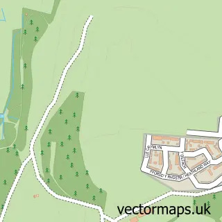
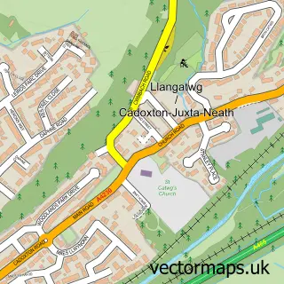
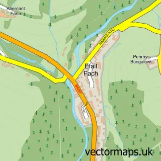
Nearby street map samples around Briton Ferry

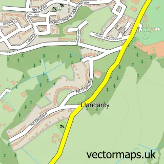
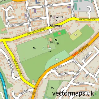
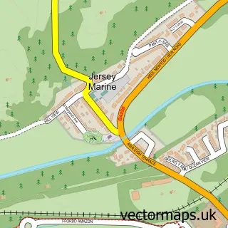
More street maps in West Glamorgan
750 metre map area coverage
Boundary, postcode and point of interest information for the 750m x 750m rectangle centred on this sample map.
Boundaries containing map centre
Constituency: Aberafan Maesteg Co Const
District: Castell-nedd Port Talbot - Neath Port Talbot
Icb: Abertawe Bro Morgannwg University
Parish: Briton Ferry Community
Police Force: south wales
Postcode District: SA11
Postcode Sector: SA11 2
Nearby boundaries intersecting sample
No additional intersecting boundaries found.
Postcode coverage
POI category counts
Convenience Store: 7
Pub: 5
Beauty And Spa: 3
Cafe: 3
Community Center: 3
Hair Salon: 3
Youth Organizations: 3
Bakery: 2
Barber: 2
Education: 2
Sample points of interest
- Sprout Media
- Belenos Skin Botanique
- Britton Ferry Car Wash
- Auto Care Neath
- Alfa Bakes by emma
- Jersey Bakery
- Tesco Bank ATM
- Tikki Bar neath
- Hoskins Barber shop
- Magic scissors Briton Ferry
- Blu Megan Hair
- JTT Own your image
Create a larger editable map of Briton Ferry
This sample shows only a 750 metre area. To create a larger map of Briton Ferry, use our map builder to choose your own coverage area, add titles and download editable SVG, PDF and PNG files.
Create a custom map of Briton Ferry